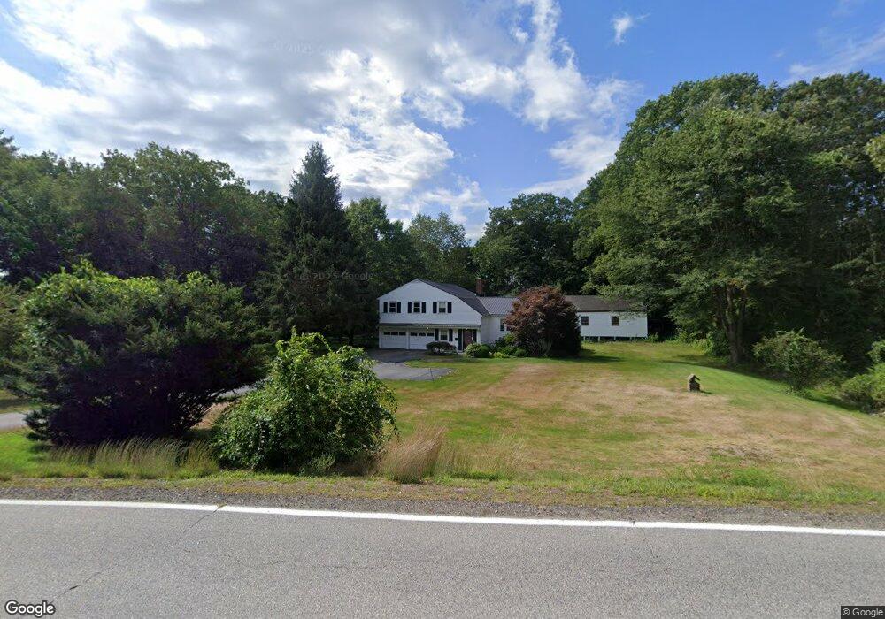
282 Haley Rd Kittery, ME 03904
Estimated Value: $500,000 - $577,000
4
Beds
1
Bath
2,250
Sq Ft
$237/Sq Ft
Est. Value
About This Home
This home is located at 282 Haley Rd, Kittery, ME 03904 and is currently estimated at $534,085, approximately $237 per square foot. 282 Haley Rd is a home with nearby schools including Horace Mitchell Primary School, Shapleigh School, and Robert W Traip Academy.
Ownership History
Date
Name
Owned For
Owner Type
Purchase Details
Closed on
Aug 2, 2023
Sold by
Moulton Ft and Moulton
Bought by
Moulton Ft and Moulton
Current Estimated Value
Purchase Details
Closed on
Nov 20, 2012
Sold by
Moulton Barbara J and Moulton Howard W
Bought by
Moulton Ft and Moulton
Create a Home Valuation Report for This Property
The Home Valuation Report is an in-depth analysis detailing your home's value as well as a comparison with similar homes in the area
Home Values in the Area
Average Home Value in this Area
Purchase History
We collect this data history from publicly available records. To have your information removed, we recommend requesting removal directly through your county’s website.
| Date | Buyer | Sale Price | Title Company |
|---|---|---|---|
| Moulton Ft | -- | None Available | |
| Moulton Ft | -- | -- |
Source: Public Records
Tax History
| Year | Tax Paid | Tax Assessment Tax Assessment Total Assessment is a certain percentage of the fair market value that is determined by local assessors to be the total taxable value of land and additions on the property. | Land | Improvement |
|---|---|---|---|---|
| 2025 | $4,998 | $538,000 | $217,900 | $320,100 |
| 2024 | $4,615 | $325,000 | $103,100 | $221,900 |
| 2023 | $4,423 | $325,000 | $103,100 | $221,900 |
| 2022 | $4,381 | $325,000 | $103,100 | $221,900 |
| 2021 | $4,225 | $325,000 | $103,100 | $221,900 |
| 2020 | $4,193 | $325,000 | $103,100 | $221,900 |
| 2019 | $4,387 | $252,100 | $67,600 | $184,500 |
| 2018 | $3,846 | $252,100 | $67,600 | $184,500 |
| 2017 | $6,706 | $252,100 | $67,600 | $184,500 |
| 2016 | $4,046 | $252,100 | $67,600 | $184,500 |
| 2015 | $3,950 | $252,100 | $67,600 | $184,500 |
| 2014 | $3,913 | $252,100 | $67,600 | $184,500 |
| 2013 | $3,837 | $252,100 | $67,600 | $184,500 |
Source: Public Records
Map
Nearby Homes
- 178 Haley Rd Unit 2
- 8 Grover Ave
- 8 Grover Ln
- 100 Shepards Cove Rd Unit H201
- 100 Shepards Cove Rd Unit H305
- 100 Shepards Cove Rd Unit H301
- Lot 14 Bartlett Rd
- 1 Philbrick Ln Unit 2
- 5 Izzy Ln
- 7 Robin Ln Unit 2
- 50 Lewis Rd
- 67 Whipple Rd
- 25 Bartlett Rd
- 10 Blueberry Ln
- 10 Lewis Rd
- 72 Pepperrell Rd
- 7 Washburn Farm Ln Unit 9
- 53 Blackberry Place
- 26-3 Regency Cir Unit 3
- 25 Regency Cir Unit 1
Your Personal Tour Guide
Ask me questions while you tour the home.