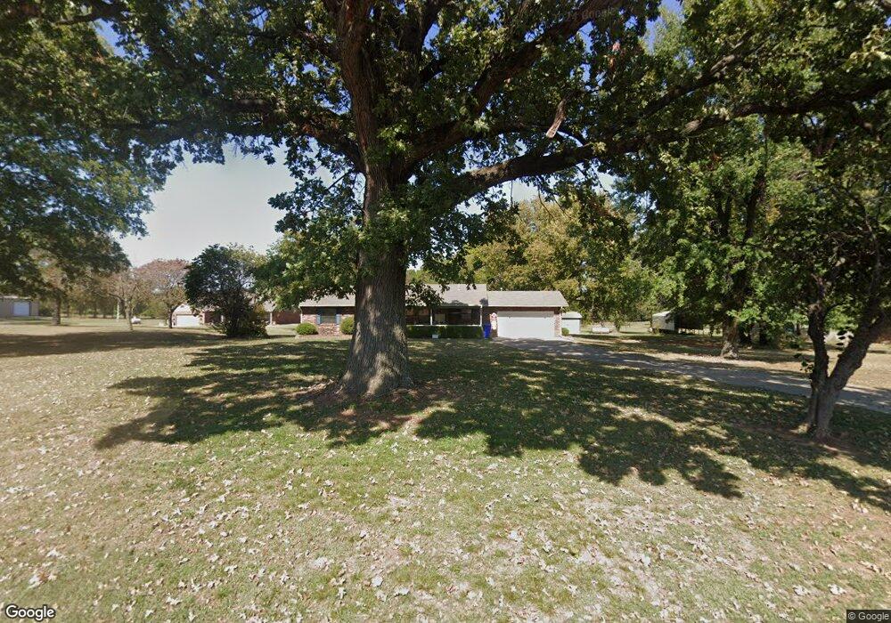
2820 E 60th St N Muskogee, OK 74403
Estimated Value: $202,000 - $350,000
2
Beds
3
Baths
1,829
Sq Ft
$165/Sq Ft
Est. Value
About This Home
This home is located at 2820 E 60th St N, Muskogee, OK 74403 and is currently estimated at $302,033, approximately $165 per square foot. 2820 E 60th St N is a home with nearby schools including Okay Elementary School and Okay High School.
Ownership History
Date
Name
Owned For
Owner Type
Purchase Details
Closed on
Nov 28, 2017
Sold by
Mcfarland Carol and Mcfarland Rodney
Bought by
Mcfarland Trust
Current Estimated Value
Purchase Details
Closed on
Aug 26, 2013
Sold by
Mcfarland Rodney and Mcfarland Carol
Bought by
Mcfarland Rodney and Mcfarland Carol
Home Financials for this Owner
Home Financials are based on the most recent Mortgage that was taken out on this home.
Original Mortgage
$134,400
Interest Rate
4.45%
Mortgage Type
New Conventional
Purchase Details
Closed on
May 8, 2008
Sold by
Mcfarland Kevin
Bought by
Mcfarland Rodney and Mcfarland Carol
Purchase Details
Closed on
Aug 9, 2005
Sold by
Tucker Patricia M
Bought by
Mcfarland Rodney
Create a Home Valuation Report for This Property
The Home Valuation Report is an in-depth analysis detailing your home's value as well as a comparison with similar homes in the area
Purchase History
| Date | Buyer | Sale Price | Title Company |
|---|---|---|---|
| Mcfarland Trust | -- | -- | |
| Mcfarland Rodney | -- | None Available | |
| Mcfarland Rodney | -- | Muskogee Abstract & Title Co | |
| Mcfarland Rodney | $13,000 | Multiple |
Source: Public Records
Mortgage History
| Date | Status | Borrower | Loan Amount |
|---|---|---|---|
| Previous Owner | Mcfarland Rodney | $134,400 |
Source: Public Records
Tax History
| Year | Tax Paid | Tax Assessment Tax Assessment Total Assessment is a certain percentage of the fair market value that is determined by local assessors to be the total taxable value of land and additions on the property. | Land | Improvement |
|---|---|---|---|---|
| 2025 | $1,898 | $26,451 | $882 | $25,569 |
| 2024 | $1,853 | $25,680 | $875 | $24,805 |
| 2023 | $1,797 | $24,932 | $874 | $24,058 |
| 2022 | $1,756 | $24,206 | $871 | $23,335 |
| 2021 | $1,717 | $23,502 | $760 | $22,742 |
| 2020 | $1,708 | $22,817 | $760 | $22,057 |
| 2019 | $1,717 | $22,153 | $760 | $21,393 |
| 2018 | $1,663 | $21,508 | $760 | $20,748 |
| 2017 | $1,758 | $22,785 | $760 | $22,025 |
| 2016 | $1,717 | $22,121 | $760 | $21,361 |
| 2015 | -- | $22,125 | $760 | $21,365 |
| 2014 | -- | $20,089 | $2,800 | $17,289 |
Source: Public Records
Map
Nearby Homes
- 1723 E 60th St N
- 6050 N 38th St E
- 3423 River Bend Rd
- 3821 N Country Club Cir
- 3611 N Country Club Cir
- 2901 Robin Ln
- 2839 Hickory Creek Rd
- 3008 Shelby Cir
- 3002 Kimberlea Dr
- 2817 Kimberlea Dr
- 5501 E 81st St N
- 2720 Michael Rd
- 2503 Bacon Ct
- 0 E 81st St N
- 0 N Main St
- 3601 Country Club Dr
- 6311 E 81st St N
- 0 W 32nd St N Unit 2546593
- 0 W 32nd St N Unit 2546611
- 3806 Club View Dr
- 2856 E 60th St N
- 12796 E 60 St N
- 2908 E 60th St N
- 2770 E 60th St N
- 2704 E 60th St N
- 2779 E 60th St N
- 2929 E 60th St N
- 2706 E 60th St N
- 2783 E 60th St N
- 3071 E 60th St N
- 6171 State Highway 16
- 2539 E 60th St N
- 2543 E 60th St N
- 2539 E 60th St N
- 2539 E 60th St N
- 6220 N 25th St E
- 2999 E 60th St N
- 0 N 25th St E Unit 1133641
- 0 N 25th St E Unit 1216670
- 0 N 25th St E Unit 1544741
Your Personal Tour Guide
Ask me questions while you tour the home.