2820 E Rick Dr Port Huron, MI 48060
Estimated Value: $128,000 - $155,000
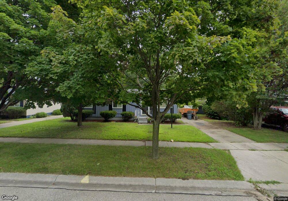
About This Home
This home is located at 2820 E Rick Dr, Port Huron, MI 48060 and is currently estimated at $140,052, approximately $145 per square foot. 2820 E Rick Dr is a home located in St. Clair County with nearby schools including Michigamme Elementary School, Central Middle School, and Port Huron High School.
Ownership History
We collect this data history from publicly available records. To have your information removed, we recommend requesting removal directly through your county’s website.
Purchase Details
Purchase Details
Purchase Details
Home Values in the Area
Average Home Value in this Area
Purchase History
We collect this data history from publicly available records. To have your information removed, we recommend requesting removal directly through your county’s website.
| Date | Buyer | Sale Price | Title Company |
|---|---|---|---|
| $10,500 | None Available | ||
| -- | None Available | ||
| $65,980 | None Available |
Tax History
We collect this data history from publicly available records. To have your information removed, we recommend requesting removal directly through your county’s website.
| Year | Tax Paid | Tax Assessment Tax Assessment Total Assessment is a certain percentage of the fair market value that is determined by local assessors to be the total taxable value of land and additions on the property. | Land | Improvement |
|---|---|---|---|---|
| 2025 | $1,230 | $52,000 | $0 | $0 |
| 2024 | $1,198 | $50,300 | $0 | $0 |
| 2023 | $1,132 | $45,000 | $0 | $0 |
| 2022 | $1,138 | $39,000 | $0 | $0 |
| 2020 | $1,093 | $34,300 | $34,300 | $0 |
| 2019 | $1,074 | $25,400 | $0 | $0 |
| 2018 | $1,050 | $25,400 | $0 | $0 |
| 2016 | $794 | $23,000 | $0 | $0 |
| 2015 | $779 | $23,000 | $23,000 | $0 |
| 2014 | $779 | $22,200 | $22,200 | $0 |
| 2013 | -- | $21,400 | $0 | $0 |
Map
- 2712 Military St
- 2704 Military St
- 2970 Military St
- 1303 Beard St
- 3136 Military St
- 2444 Military St
- 1120 Bancroft St
- 1412 Minnie St
- 0 Military Vl St
- 1825 16th St
- 1211 Minnie St
- Lot 3 24th St
- 1819 10th St
- 738 Bancroft St
- 2203 VL Railroad St
- 2200 VL Railroad St
- 2506 Vanness St
- 929 Division St
- 1325 Oak St
- 1802 Oak St
Ask me questions while you tour the home.