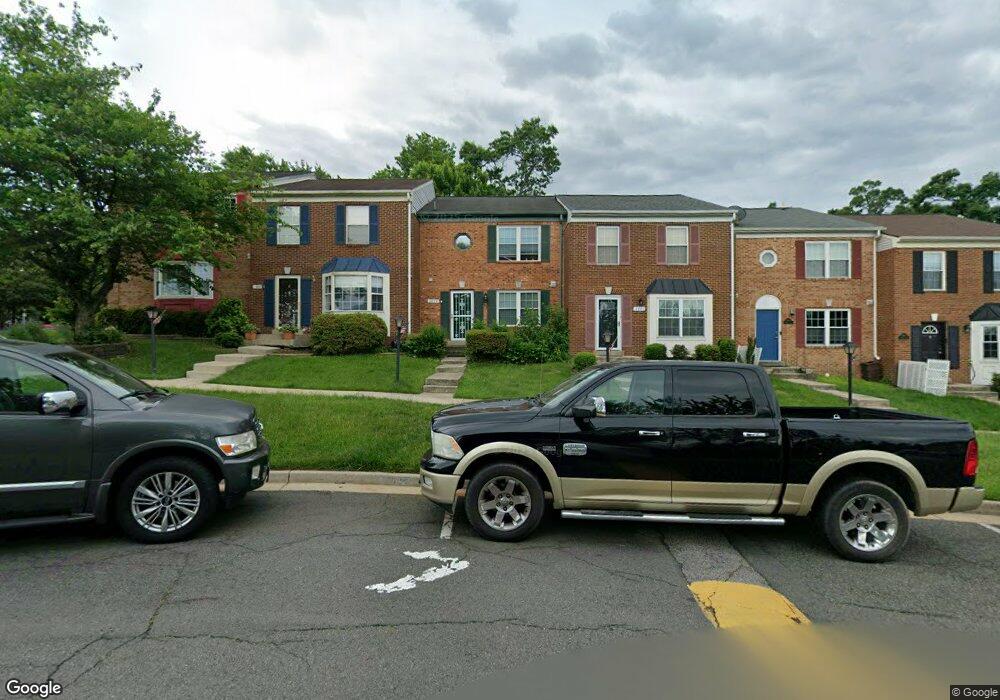
2829 Bowes Ln Woodbridge, VA 22193
Birchdale NeighborhoodEstimated Value: $396,000 - $436,000
3
Beds
2
Baths
1,380
Sq Ft
$298/Sq Ft
Est. Value
About This Home
This home is located at 2829 Bowes Ln, Woodbridge, VA 22193 and is currently estimated at $411,494, approximately $298 per square foot. 2829 Bowes Ln is a home located in Prince William County with nearby schools including Gar-Field High School, Dale City Elementary School, and George M. Hampton Middle School.
Ownership History
Date
Name
Owned For
Owner Type
Purchase Details
Closed on
Oct 8, 2010
Sold by
Messier Lynette A
Bought by
Pama Frederick R and Pama Peggylee C
Current Estimated Value
Home Financials for this Owner
Home Financials are based on the most recent Mortgage that was taken out on this home.
Original Mortgage
$123,750
Outstanding Balance
$81,745
Interest Rate
4.37%
Mortgage Type
New Conventional
Estimated Equity
$329,749
Purchase Details
Closed on
Apr 29, 1998
Sold by
Hunter Stanford L and Hunter Donna P
Bought by
Messier Lynette A
Home Financials for this Owner
Home Financials are based on the most recent Mortgage that was taken out on this home.
Original Mortgage
$75,250
Interest Rate
7.04%
Mortgage Type
FHA
Create a Home Valuation Report for This Property
The Home Valuation Report is an in-depth analysis detailing your home's value as well as a comparison with similar homes in the area
Home Values in the Area
Average Home Value in this Area
Purchase History
| Date | Buyer | Sale Price | Title Company |
|---|---|---|---|
| Pama Frederick R | $165,000 | Fidelity National Title | |
| Messier Lynette A | $87,000 | -- |
Source: Public Records
Mortgage History
| Date | Status | Borrower | Loan Amount |
|---|---|---|---|
| Open | Pama Frederick R | $123,750 | |
| Previous Owner | Messier Lynette A | $75,250 |
Source: Public Records
Tax History
| Year | Tax Paid | Tax Assessment Tax Assessment Total Assessment is a certain percentage of the fair market value that is determined by local assessors to be the total taxable value of land and additions on the property. | Land | Improvement |
|---|---|---|---|---|
| 2025 | $3,878 | $414,100 | $102,700 | $311,400 |
| 2024 | $3,878 | $389,900 | $96,900 | $293,000 |
| 2023 | $3,751 | $360,500 | $88,900 | $271,600 |
| 2022 | $3,831 | $345,900 | $84,600 | $261,300 |
| 2021 | $3,680 | $299,600 | $73,000 | $226,600 |
| 2020 | $4,111 | $265,200 | $69,500 | $195,700 |
| 2019 | $4,018 | $259,200 | $86,400 | $172,800 |
| 2018 | $2,962 | $245,300 | $83,100 | $162,200 |
| 2017 | $2,878 | $230,800 | $77,600 | $153,200 |
| 2016 | $2,708 | $218,900 | $73,200 | $145,700 |
| 2015 | $2,322 | $220,100 | $73,200 | $146,900 |
| 2014 | $2,322 | $192,800 | $63,700 | $129,100 |
Source: Public Records
Map
Nearby Homes
- 2874 Bowes Ln
- 14496 Aurora Dr
- 2907 Alliance Ln
- 3206 Burbank Ln
- 14807 Anderson Ct
- 14333 Birchdale Ave
- 14702 Blair Ct
- 14701 Brook Dr
- 14220 Bremerton Dr
- 14192 Cuddy Loop Unit 102
- 14197 Cuddy Loop Unit 102
- 14748 Barksdale St
- 14389 Fontaine Ct
- 14162 Cuddy Loop Unit 302
- 14768 Barksdale St
- 2532 Neabsco Common Place
- 14388 Fontaine Ct
- 2540 Neabsco Common Place
- 14917 River Walk Way
- 2506 Neabsco Common Place
Your Personal Tour Guide
Ask me questions while you tour the home.