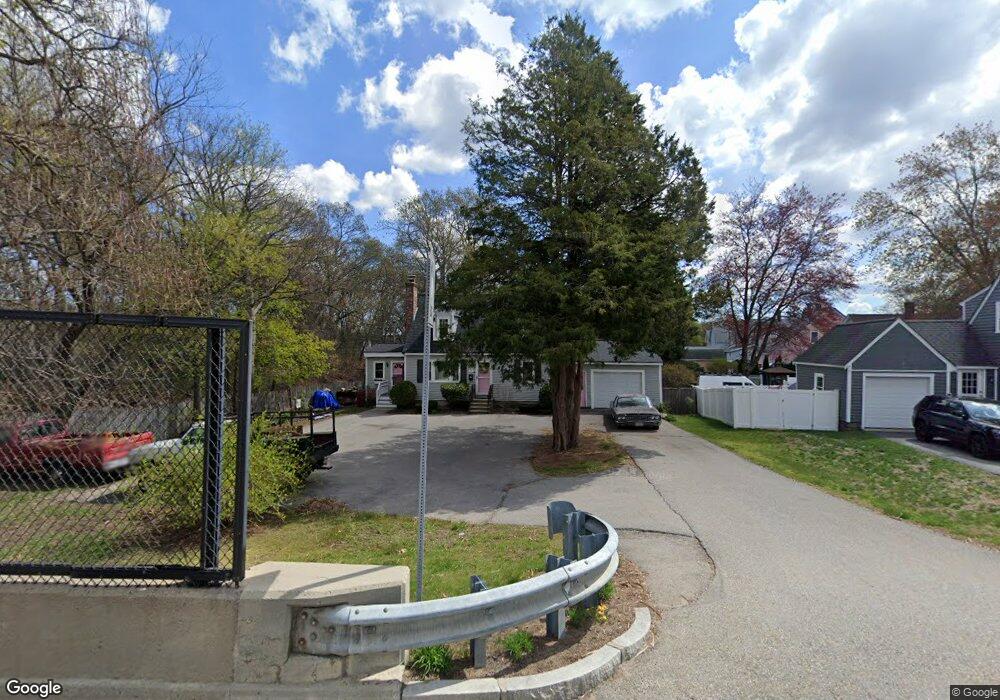
284 Boylston St Lowell, MA 01852
South Lowell NeighborhoodEstimated Value: $569,000 - $653,000
3
Beds
1
Bath
1,562
Sq Ft
$388/Sq Ft
Est. Value
About This Home
This home is located at 284 Boylston St, Lowell, MA 01852 and is currently estimated at $606,259, approximately $388 per square foot. 284 Boylston St is a home located in Middlesex County with nearby schools including Moody Elementary School, Abraham Lincoln Elementary School, and Greenhalge Elementary School.
Ownership History
Date
Name
Owned For
Owner Type
Purchase Details
Closed on
Mar 28, 1997
Sold by
Asselin Henri G and Asselin Kathie L
Bought by
Klangos Charles S and Klangos Maureen
Current Estimated Value
Home Financials for this Owner
Home Financials are based on the most recent Mortgage that was taken out on this home.
Original Mortgage
$117,000
Outstanding Balance
$14,731
Interest Rate
7.59%
Mortgage Type
Purchase Money Mortgage
Estimated Equity
$591,528
Create a Home Valuation Report for This Property
The Home Valuation Report is an in-depth analysis detailing your home's value as well as a comparison with similar homes in the area
Home Values in the Area
Average Home Value in this Area
Purchase History
We collect this data history from publicly available records. To have your information removed, we recommend requesting removal directly through your county’s website.
| Date | Buyer | Sale Price | Title Company |
|---|---|---|---|
| Klangos Charles S | $130,000 | -- | |
| Klangos Charles S | $130,000 | -- |
Source: Public Records
Mortgage History
We collect this data history from publicly available records. To have your information removed, we recommend requesting removal directly through your county’s website.
| Date | Status | Borrower | Loan Amount |
|---|---|---|---|
| Open | Klangos Charles S | $117,000 | |
| Closed | Klangos Charles S | $117,000 | |
| Previous Owner | Klangos Charles S | $94,500 |
Source: Public Records
Tax History
| Year | Tax Paid | Tax Assessment Tax Assessment Total Assessment is a certain percentage of the fair market value that is determined by local assessors to be the total taxable value of land and additions on the property. | Land | Improvement |
|---|---|---|---|---|
| 2025 | $6,317 | $550,300 | $242,400 | $307,900 |
| 2024 | $6,048 | $507,800 | $218,100 | $289,700 |
| 2023 | $5,881 | $473,500 | $189,600 | $283,900 |
| 2022 | $5,316 | $418,900 | $167,100 | $251,800 |
| 2021 | $4,987 | $370,500 | $145,200 | $225,300 |
| 2020 | $4,911 | $367,600 | $145,200 | $222,400 |
| 2019 | $4,847 | $345,200 | $138,700 | $206,500 |
| 2018 | $4,675 | $324,900 | $132,000 | $192,900 |
| 2017 | $4,445 | $297,900 | $117,300 | $180,600 |
| 2016 | $4,127 | $272,200 | $108,300 | $163,900 |
| 2015 | $4,121 | $266,200 | $108,300 | $157,900 |
| 2013 | $4,017 | $267,600 | $128,700 | $138,900 |
Source: Public Records
Map
Nearby Homes
- 357 Boylston St Unit 5
- 357 Boylston St Unit 3
- 58 Brunswick St
- 100 Roper St Unit D
- 39 N Billerica Rd Unit 4
- 471 Butman Rd
- 1081 Lawrence St
- 132 Commonwealth Ave
- 6 Bristol St
- 18 Nob Way
- 317 Nesmith St
- 50 Melrose Ave
- 85 Seneca St
- 50 Andrews St
- 25 Windward Rd
- 224 Pleasant St Unit A
- 105 Starr Ave
- 1400 Gorham St Unit 42
- 100 Rogers St Unit 1
- 319 Whipple Rd
- 294 Boylston St
- 10 Dayton St
- 18 Dayton St
- 279 Boylston St Unit D
- 279 Boylston St Unit C
- 279 Boylston St Unit A
- 279 Boylston St Unit B
- 279 Boylston St Unit F
- 279 Boylston St Unit E
- 279 Boylston St Unit 279D
- 279 Boylston St Unit 279E
- 24 Dayton St
- 304 Boylston St
- 19 Bishop St
- 19 Dayton St
- 32 Dayton St
- 312 Boylston St
- 256 Boylston St
- 309 Boylston St
- 27 Dayton St
Your Personal Tour Guide
Ask me questions while you tour the home.