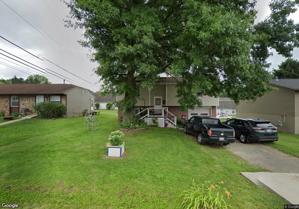
284 Montgomery Ave Newark, OH 43055
Estimated Value: $177,000 - $233,000
3
Beds
2
Baths
1,234
Sq Ft
$164/Sq Ft
Est. Value
About This Home
This home is located at 284 Montgomery Ave, Newark, OH 43055 and is currently estimated at $201,883, approximately $163 per square foot. 284 Montgomery Ave is a home located in Licking County with nearby schools including Carson Elementary School, Heritage Middle School, and Newark High School.
Ownership History
Date
Name
Owned For
Owner Type
Purchase Details
Closed on
Jul 6, 2015
Sold by
King Caroline L
Bought by
Rehart Ralph E
Current Estimated Value
Home Financials for this Owner
Home Financials are based on the most recent Mortgage that was taken out on this home.
Original Mortgage
$89,100
Outstanding Balance
$68,023
Interest Rate
3.83%
Mortgage Type
VA
Estimated Equity
$133,860
Purchase Details
Closed on
Jun 6, 2005
Sold by
Estate Of Donald L King
Bought by
King Caroline L
Create a Home Valuation Report for This Property
The Home Valuation Report is an in-depth analysis detailing your home's value as well as a comparison with similar homes in the area
Home Values in the Area
Average Home Value in this Area
Purchase History
| Date | Buyer | Sale Price | Title Company |
|---|---|---|---|
| Rehart Ralph E | $135,000 | Ambassador Title Mailbox | |
| King Caroline L | -- | -- |
Source: Public Records
Mortgage History
| Date | Status | Borrower | Loan Amount |
|---|---|---|---|
| Open | Rehart Ralph E | $89,100 |
Source: Public Records
Tax History
| Year | Tax Paid | Tax Assessment Tax Assessment Total Assessment is a certain percentage of the fair market value that is determined by local assessors to be the total taxable value of land and additions on the property. | Land | Improvement |
|---|---|---|---|---|
| 2025 | $1,119 | $50,760 | $10,400 | $40,360 |
| 2024 | $1,115 | $50,760 | $10,400 | $40,360 |
| 2023 | $1,159 | $50,760 | $10,400 | $40,360 |
| 2022 | $892 | $39,660 | $5,950 | $33,710 |
| 2021 | $935 | $39,660 | $5,950 | $33,710 |
| 2020 | $957 | $39,660 | $5,950 | $33,710 |
| 2019 | $634 | $31,610 | $5,670 | $25,940 |
| 2018 | $635 | $0 | $0 | $0 |
| 2017 | $608 | $0 | $0 | $0 |
| 2016 | $547 | $0 | $0 | $0 |
| 2015 | $1,406 | $0 | $0 | $0 |
| 2014 | $1,753 | $0 | $0 | $0 |
| 2013 | $1,058 | $0 | $0 | $0 |
Source: Public Records
Map
Nearby Homes
- 821 Jones Ave
- 874 Brice St
- 468 Garfield Ave
- 106 Monroe Ave
- 934 Garfield Ave
- 0 Monroe Ave Unit Lot 1612
- 0 Monroe Ave
- 49 Monroe Ave
- 397 Arlington Ave
- 112 Oakwood Ave
- 167 Essex St
- 212 Alcon Dr
- 20 Bolen Ave
- 239 N Cedar St
- 494 E Main St
- 417 Tuscarawas St
- 75 Gay St
- 205 Hunter St
- 62 Mill St
- 331 Eastern Ave
- 292 Montgomery Ave
- 280 Montgomery Ave
- 278 Montgomery Ave
- 298 Montgomery Ave
- 272 Montgomery Ave
- 294 Montgomery Ave
- 686 Garfield Ave
- 269 Quail Creek Dr
- 312 Montgomery Ave
- 310 Montgomery Ave
- 668 Garfield Ave
- 321 Montgomery Ave
- 694 Garfield Ave
- 0 Garfield Ave
- 654 Garfield Ave
- 333 Montgomery Ave
- 258 Quail Creek Dr
- 330 Montgomery Ave
- 0 Montgomery Ave
- 646 Garfield Ave
Your Personal Tour Guide
Ask me questions while you tour the home.