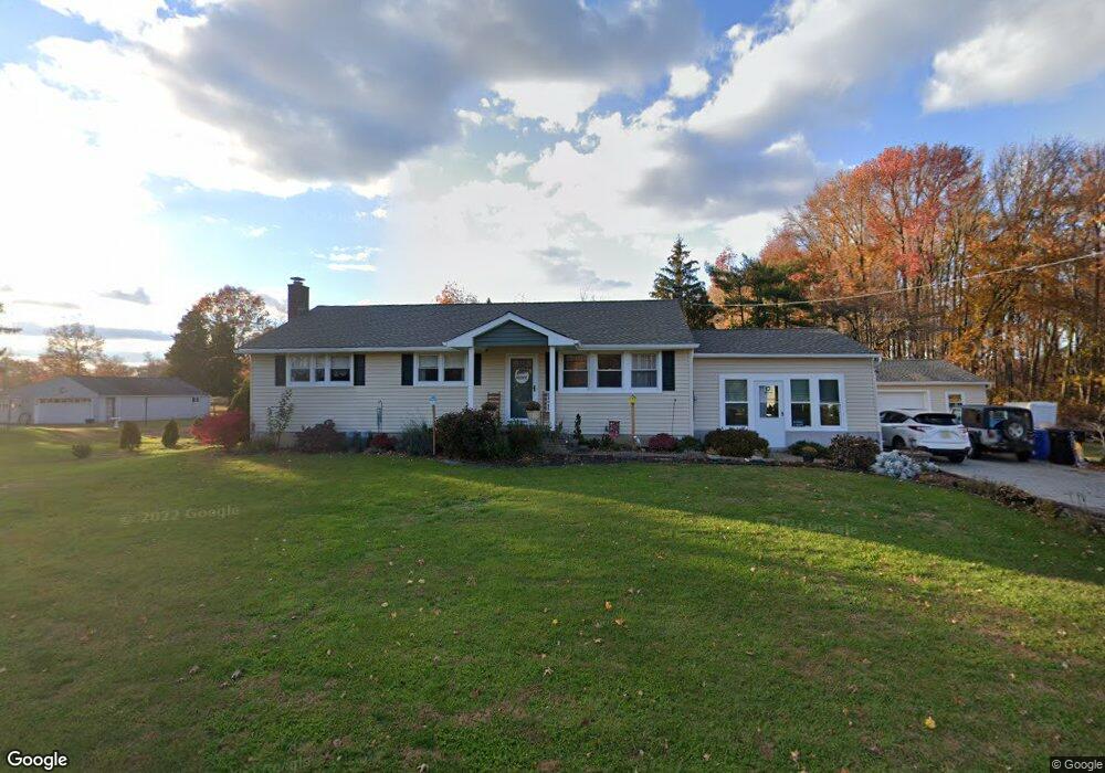
285 N Wolfert Station Rd Mickleton, NJ 08056
Estimated Value: $347,729 - $409,000
Studio
--
Bath
1,260
Sq Ft
$306/Sq Ft
Est. Value
About This Home
This home is located at 285 N Wolfert Station Rd, Mickleton, NJ 08056 and is currently estimated at $385,182, approximately $305 per square foot. 285 N Wolfert Station Rd is a home located in Gloucester County with nearby schools including Jeffrey Clark School, Samuel Mickle School, and Kingsway Regional Middle School.
Ownership History
Date
Name
Owned For
Owner Type
Purchase Details
Closed on
Oct 8, 2009
Sold by
Walsh Jeffrey R and Walsh James Thomas
Bought by
Walsh James Thomas
Current Estimated Value
Home Financials for this Owner
Home Financials are based on the most recent Mortgage that was taken out on this home.
Original Mortgage
$135,000
Interest Rate
5.14%
Mortgage Type
New Conventional
Create a Home Valuation Report for This Property
The Home Valuation Report is an in-depth analysis detailing your home's value as well as a comparison with similar homes in the area
Home Values in the Area
Average Home Value in this Area
Purchase History
| Date | Buyer | Sale Price | Title Company |
|---|---|---|---|
| Walsh James Thomas | $150,000 | Foundation Title Llc |
Source: Public Records
Mortgage History
| Date | Status | Borrower | Loan Amount |
|---|---|---|---|
| Closed | Walsh James Thomas | $135,000 |
Source: Public Records
Tax History
| Year | Tax Paid | Tax Assessment Tax Assessment Total Assessment is a certain percentage of the fair market value that is determined by local assessors to be the total taxable value of land and additions on the property. | Land | Improvement |
|---|---|---|---|---|
| 2025 | $8,316 | $261,600 | $90,000 | $171,600 |
| 2024 | $8,052 | $261,600 | $90,000 | $171,600 |
| 2023 | $8,052 | $261,600 | $90,000 | $171,600 |
| 2022 | $7,824 | $261,600 | $90,000 | $171,600 |
| 2021 | $7,877 | $261,600 | $90,000 | $171,600 |
| 2020 | $7,913 | $261,600 | $90,000 | $171,600 |
| 2019 | $7,832 | $261,600 | $90,000 | $171,600 |
| 2018 | $6,363 | $193,000 | $69,800 | $123,200 |
| 2017 | $6,280 | $193,000 | $69,800 | $123,200 |
| 2016 | $6,207 | $193,000 | $69,800 | $123,200 |
| 2015 | $5,948 | $193,000 | $69,800 | $123,200 |
| 2014 | $5,582 | $193,000 | $69,800 | $123,200 |
Source: Public Records
Map
Nearby Homes
- 71 W Tomlin Station Rd
- 241 Gaunt Dr
- 78 W Tomlin Station Rd
- 415 Country Way
- 427 Birch Dr
- 50 Mill Rd
- 17 Polo Run
- 761 Rattling Run Rd
- 792 Paulsboro Rd
- 788 Paulsboro Rd
- 18 Millwood Dr
- 43 45 Repaupo Station Rd
- 0 Tomlin Station Rd Unit NJGL2061600
- 67 E Rattling Run Rd
- 200 David Mills Ln
- 361 Democrat Rd
- 37 Harmony Rd
- 312 Croce Ave
- 354 Memorial Ave
- 120 Jubilee Dr
- 281 N Wolfert Station Rd
- 289 N Wolfert Station Rd
- 279 N Wolfert Station Rd
- 284 N Wolfert Station Rd
- 00 N Wolfert Station Rd
- 297 N Wolfert Station Rd
- 290 N Wolfert Station Rd
- 271 N Wolfert Station Rd
- 292 N Wolfert Station Rd
- 265 N Wolfert Station Rd
- 263 N Wolfert Station Rd
- 296 N Wolfert Station Rd
- 238 Smallwood Dr
- 280 N Wolfert Station Rd
- 236 Smallwood Dr
- 237 Smallwood Dr
- 234 Smallwood Dr
- 235 Smallwood Dr
- 232 Smallwood Dr
- 233 Smallwood Dr
Your Personal Tour Guide
Ask me questions while you tour the home.