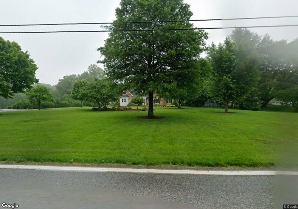
286 Bayard Rd Lothian, MD 20711
Harwood NeighborhoodEstimated Value: $692,250 - $812,000
Studio
2
Baths
2,470
Sq Ft
$302/Sq Ft
Est. Value
About This Home
This home is located at 286 Bayard Rd, Lothian, MD 20711 and is currently estimated at $747,063, approximately $302 per square foot. 286 Bayard Rd is a home located in Anne Arundel County with nearby schools including Lothian Elementary School, Southern Middle School, and Southern High School.
Ownership History
Date
Name
Owned For
Owner Type
Purchase Details
Closed on
Jun 11, 2014
Sold by
Riley Stewart L and Riley Susan E
Bought by
Riley Living Trust
Current Estimated Value
Purchase Details
Closed on
Nov 20, 2009
Sold by
Riley Susan E
Bought by
Riley Stewart L and Riley Susan E
Purchase Details
Closed on
Apr 12, 2001
Sold by
Moreland Benjamin R
Bought by
Riley Susan E and Riley Stewart
Create a Home Valuation Report for This Property
The Home Valuation Report is an in-depth analysis detailing your home's value as well as a comparison with similar homes in the area
Home Values in the Area
Average Home Value in this Area
Purchase History
| Date | Buyer | Sale Price | Title Company |
|---|---|---|---|
| Riley Living Trust | -- | None Available | |
| Riley Stewart L | -- | -- | |
| Riley Susan E | -- | -- |
Source: Public Records
Tax History
| Year | Tax Paid | Tax Assessment Tax Assessment Total Assessment is a certain percentage of the fair market value that is determined by local assessors to be the total taxable value of land and additions on the property. | Land | Improvement |
|---|---|---|---|---|
| 2025 | $6,216 | $622,133 | -- | -- |
| 2024 | $6,216 | $592,067 | $0 | $0 |
| 2023 | $5,411 | $562,000 | $196,900 | $365,100 |
| 2022 | $5,664 | $554,900 | $0 | $0 |
| 2020 | $5,436 | $540,700 | $196,900 | $343,800 |
| 2019 | $5,337 | $522,933 | $0 | $0 |
| 2018 | $5,122 | $505,167 | $0 | $0 |
| 2017 | $5,004 | $487,400 | $0 | $0 |
| 2016 | -- | $482,167 | $0 | $0 |
| 2015 | -- | $476,933 | $0 | $0 |
| 2014 | -- | $471,700 | $0 | $0 |
Source: Public Records
Map
Nearby Homes
- 396 Bayard Rd
- 4755 S Polling House Rd
- 9 Solitude Ct
- 4440 Claybrooke Dr
- 21 Owensville Rd
- 630 Rosewood Ct
- 5209 Grenock Dr
- 612 Traveller Ct
- 615 Traveller Ct
- 623 Traveller Ct
- 4432 Indigo Ln
- 5257 Ferry Branch Ln
- 204 Three Rivers Rd
- 5407 Solomons Island Rd
- 21 Treiber Ln
- 5707 Iron Stone Rd
- 49 Old Solomons Island Rd
- 5485 Solomons Island Rd
- 898 Mt Zion Marlboro Rd
- 4308 Molly Shippen Trail
Your Personal Tour Guide
Ask me questions while you tour the home.