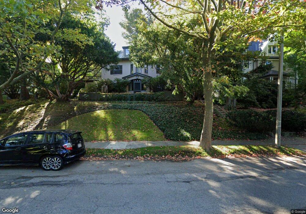
286 Clinton Rd Brookline, MA 02445
Cleveland Circle NeighborhoodEstimated Value: $3,166,000 - $4,026,000
About This Home
This home is located at 286 Clinton Rd, Brookline, MA 02445 and is currently estimated at $3,410,436, approximately $851 per square foot. 286 Clinton Rd is a home located in Norfolk County with nearby schools including John D. Runkle School, Brookline High School, and Torah Academy.
Ownership History
We collect this data history from publicly available records. To have your information removed, we recommend requesting removal directly through your county’s website.
Purchase Details
Purchase Details
Home Values in the Area
Average Home Value in this Area
Purchase History
We collect this data history from publicly available records. To have your information removed, we recommend requesting removal directly through your county’s website.
| Date | Buyer | Sale Price | Title Company |
|---|---|---|---|
| -- | -- | ||
| -- | -- |
Tax History
We collect this data history from publicly available records. To have your information removed, we recommend requesting removal directly through your county’s website.
| Year | Tax Paid | Tax Assessment Tax Assessment Total Assessment is a certain percentage of the fair market value that is determined by local assessors to be the total taxable value of land and additions on the property. | Land | Improvement |
|---|---|---|---|---|
| 2025 | $30,006 | $3,040,100 | $1,556,500 | $1,483,600 |
| 2024 | $28,598 | $2,927,100 | $1,496,600 | $1,430,500 |
| 2023 | $24,634 | $2,470,800 | $1,069,300 | $1,401,500 |
| 2022 | $23,978 | $2,353,100 | $1,018,300 | $1,334,800 |
| 2021 | $22,173 | $2,262,500 | $979,100 | $1,283,400 |
| 2020 | $20,372 | $2,155,800 | $890,100 | $1,265,700 |
| 2019 | $19,238 | $2,053,100 | $847,700 | $1,205,400 |
| 2018 | $19,378 | $2,048,400 | $857,500 | $1,190,900 |
| 2017 | $19,093 | $1,932,500 | $809,000 | $1,123,500 |
| 2016 | $18,820 | $1,806,100 | $756,100 | $1,050,000 |
| 2015 | $18,027 | $1,687,900 | $706,600 | $981,300 |
| 2014 | $18,235 | $1,601,000 | $642,400 | $958,600 |
Map
- 278 Clinton Rd
- 1895A Beacon St Unit 1895A
- 355 Buckminster Rd
- 1880 Beacon St Unit 6
- 1834 Beacon St Unit 11
- 1896 Beacon St Unit 1
- 1896 Beacon St Unit 3
- 38 Englewood Ave Unit 1
- 19 Englewood Ave Unit 2
- 1 Lanark Rd Unit 7
- 52 Strathmore Rd Unit 44
- 55 Penniman Rd
- 17 Chesham Rd
- 540 Chestnut Hill Ave
- 47 Englewood Ave
- 1778 Beacon St Unit 302
- 1774 Beacon St Unit 6
- 155 Kilsyth Rd
- 41 Orkney Rd
- 1762 Beacon St Unit 1
- 292 Clinton Rd
- 289 Clinton Rd
- 300 Clinton Rd
- 295 Clinton Rd
- 285 Clinton Rd
- 247 Fisher Ave
- 5 Druce St
- 255 Fisher Ave
- 301 Clinton Rd
- 271 Clinton Rd
- 271 Clinton Rd Unit 271
- 129 Dean Rd
- 233 Fisher Ave
- 262 Clinton Rd
- 311 Clinton Rd
- 123 Dean Rd
- 244 Fisher Ave
- 8 Strathmore Rd Unit 3
- 8 Strathmore Rd Unit 2
- 8 Strathmore Rd Unit 1
Ask me questions while you tour the home.