Estimated Value: $188,000 - $209,790
3
Beds
2
Baths
1,344
Sq Ft
$150/Sq Ft
Est. Value
About This Home
This home is located at 286 Kimberly Dr, Byron, GA 31008 and is currently estimated at $201,930, approximately $150 per square foot. 286 Kimberly Dr is a home located in Peach County with nearby schools including Kay Road Elementary School, Fort Valley Middle School, and Peach County High School.
Ownership History
Date
Name
Owned For
Owner Type
Purchase Details
Closed on
May 10, 2007
Sold by
H & H Land Development Cor
Bought by
Croft W D and Croft Shrmoore Glinda
Current Estimated Value
Purchase Details
Closed on
Jul 15, 1995
Sold by
Noble B L
Bought by
Noble Michael L
Purchase Details
Closed on
May 26, 1989
Bought by
Noble B L
Purchase Details
Closed on
Aug 16, 1985
Bought by
Hampton Michael A and Hampton Debra L
Create a Home Valuation Report for This Property
The Home Valuation Report is an in-depth analysis detailing your home's value as well as a comparison with similar homes in the area
Home Values in the Area
Average Home Value in this Area
Purchase History
| Date | Buyer | Sale Price | Title Company |
|---|---|---|---|
| Croft W D | $10,000 | -- | |
| Noble Michael L | -- | -- | |
| Noble B L | $20,000 | -- | |
| Hampton Michael A | $13,300 | -- |
Source: Public Records
Tax History
| Year | Tax Paid | Tax Assessment Tax Assessment Total Assessment is a certain percentage of the fair market value that is determined by local assessors to be the total taxable value of land and additions on the property. | Land | Improvement |
|---|---|---|---|---|
| 2025 | $737 | $40,720 | $28,440 | $12,280 |
| 2024 | $820 | $40,280 | $28,440 | $11,840 |
| 2023 | $350 | $32,000 | $19,640 | $12,360 |
| 2022 | $564 | $30,440 | $19,640 | $10,800 |
| 2021 | $601 | $29,560 | $19,640 | $9,920 |
| 2020 | $827 | $37,040 | $19,640 | $17,400 |
| 2019 | $815 | $36,560 | $19,640 | $16,920 |
| 2018 | $818 | $36,560 | $19,640 | $16,920 |
| 2017 | $821 | $36,560 | $19,640 | $16,920 |
| 2016 | $819 | $36,560 | $19,640 | $16,920 |
| 2015 | $707 | $32,960 | $16,040 | $16,920 |
| 2014 | $792 | $20,568 | $16,040 | $4,528 |
| 2013 | -- | $20,568 | $16,040 | $4,528 |
Source: Public Records
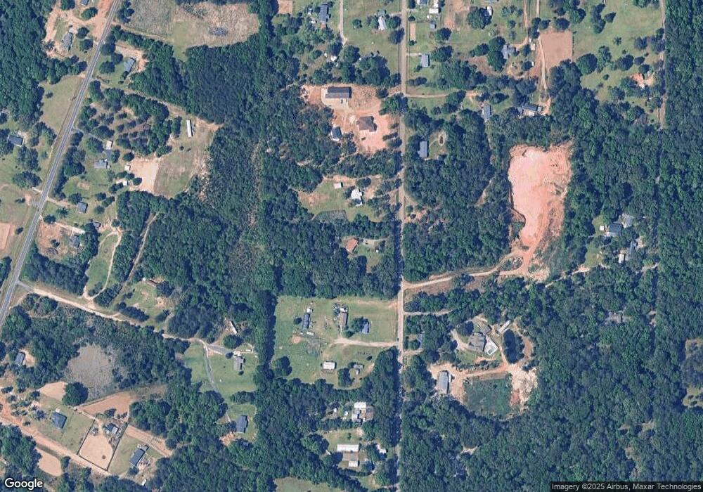
Map
Nearby Homes
- 571 Barker Rd
- 0 Barker Rd Unit 243030
- 0 Barker Rd Unit 14258525
- 0 Barker Rd Unit 175053
- 518 Southland Trail
- 251 Hampton Oaks Way
- 510 Southland Trail
- 124 Hawks Ridge Trace
- 171 Hawks Ridge Trace
- 450 Jones Rd
- 538 Southland Trail
- 109 Red Tail Cir
- 161 Rowland Cir
- 420 Southland Trail
- 103 June Crest Ct
- 907 Cliett Rd
- Lot 6 Trojan Way
- Lot 5 Trojan Way
- 112 Early Dr
- 117 Early Dr
- 246 Kimberly Dr
- 11 Short Ln
- 259 Kimberly Dr
- 160 Kimberly Dr
- 284 Polly Dr
- 450 Kimberly Dr
- 353 Kimberly Dr
- 401 Kimberly Dr
- 1166 Powersville Rd
- 1354 Powersville Rd
- 161 Kimberly Dr
- 488 Kimberly Dr
- 125 Kimberly Dr
- 1170 Powersville Rd
- 1164 Powersville Rd
- 90 Kimberly Dr
- 340 Kay Rd
- 1390 Powersville Rd
- 15 Happy Ln
- 1072 Powersville Rd
Your Personal Tour Guide
Ask me questions while you tour the home.