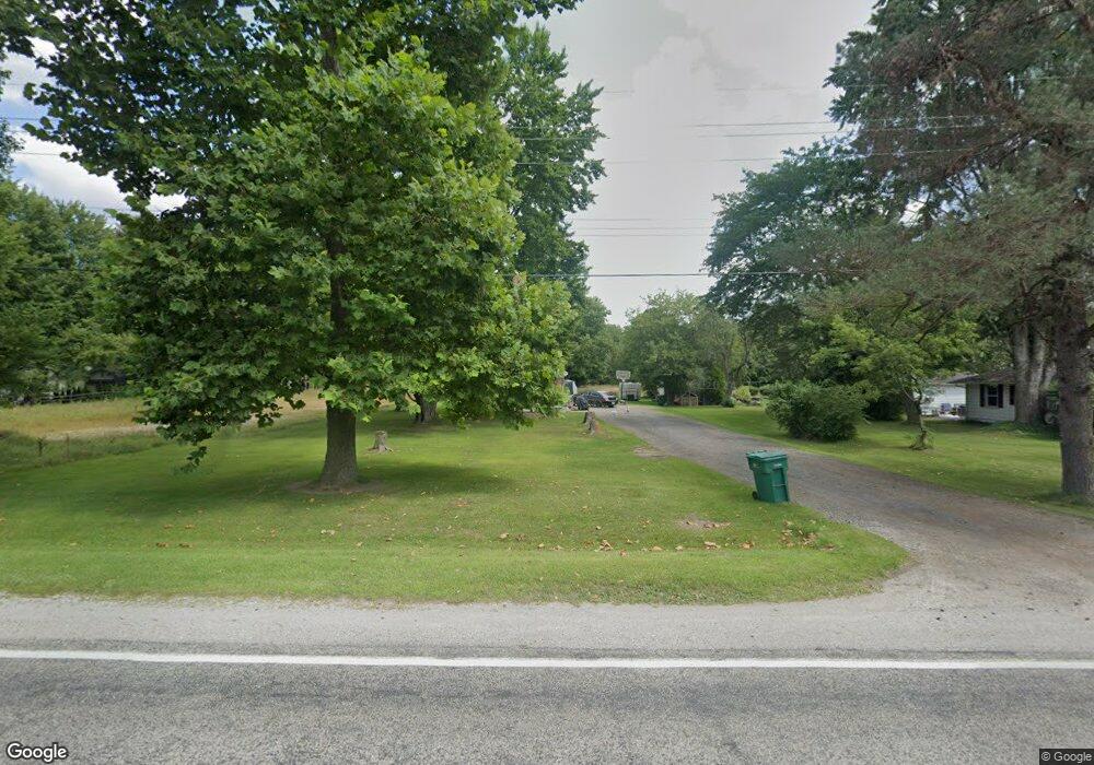
2866 Range Rd Port Huron, MI 48060
Estimated Value: $116,000 - $223,000
3
Beds
1
Bath
1,520
Sq Ft
$116/Sq Ft
Est. Value
About This Home
This home is located at 2866 Range Rd, Port Huron, MI 48060 and is currently estimated at $176,547, approximately $116 per square foot. 2866 Range Rd is a home located in St. Clair County with nearby schools including Indian Woods Elementary School, Central Middle School, and Port Huron High School.
Ownership History
Date
Name
Owned For
Owner Type
Purchase Details
Closed on
Dec 22, 2021
Sold by
Steve Beery
Bought by
Beery Steven and Beery Audrey S
Current Estimated Value
Home Financials for this Owner
Home Financials are based on the most recent Mortgage that was taken out on this home.
Original Mortgage
$58,600
Outstanding Balance
$53,563
Interest Rate
3.11%
Mortgage Type
New Conventional
Estimated Equity
$122,984
Purchase Details
Closed on
Apr 1, 2010
Sold by
West Water Range Llc
Bought by
Beery Steve
Purchase Details
Closed on
Jun 6, 2005
Sold by
Radatz James A and Radatz Amry Kay
Bought by
West Water Range Range Llc
Create a Home Valuation Report for This Property
The Home Valuation Report is an in-depth analysis detailing your home's value as well as a comparison with similar homes in the area
Home Values in the Area
Average Home Value in this Area
Purchase History
| Date | Buyer | Sale Price | Title Company |
|---|---|---|---|
| Beery Steven | -- | Huron Title | |
| Beery Steven | $80,000 | Huron Title | |
| Beery Steve | -- | None Available | |
| West Water Range Range Llc | -- | None Available |
Source: Public Records
Mortgage History
| Date | Status | Borrower | Loan Amount |
|---|---|---|---|
| Open | Beery Steven | $58,600 |
Source: Public Records
Tax History
| Year | Tax Paid | Tax Assessment Tax Assessment Total Assessment is a certain percentage of the fair market value that is determined by local assessors to be the total taxable value of land and additions on the property. | Land | Improvement |
|---|---|---|---|---|
| 2025 | $820 | $74,300 | $0 | $0 |
| 2024 | $795 | $75,200 | $0 | $0 |
| 2023 | $734 | $67,100 | $0 | $0 |
| 2022 | $1,356 | $62,700 | $0 | $0 |
| 2020 | $1,321 | $51,200 | $51,200 | $0 |
| 2019 | $1,301 | $45,900 | $0 | $0 |
| 2018 | $2,721 | $45,900 | $0 | $0 |
| 2017 | $1,575 | $45,600 | $0 | $0 |
| 2016 | $603 | $45,600 | $0 | $0 |
| 2015 | -- | $38,100 | $38,100 | $0 |
| 2014 | -- | $35,300 | $35,300 | $0 |
| 2013 | -- | $33,400 | $0 | $0 |
Source: Public Records
Map
Nearby Homes
- 2970 Range Rd
- 2668 Range Rd
- 4837 Camelot Dr
- 4380 Lapeer Rd
- 4911 Castlewood Dr
- 3115 Spruce Dr
- 4901 Lorwood Dr
- 0 Lapeer Rd Unit 50137357
- 0000 Atkins Atkins Rd
- 3925 W Water St
- 3075 Westcott Dr
- 0000 W Water St
- 3345 Beach Rd
- 5614 Atkins Rd
- 4570 Atkins Rd
- 3971 N River Rd
- 0 Wall Rd Unit 50185999
- 4167 N River Rd
- 00 Howard Rd
- 4134 N River Rd
Your Personal Tour Guide
Ask me questions while you tour the home.