287 Laurel Place Dr Unit 42 Cornelia, GA 30531
Estimated Value: $730,000 - $923,000
4
Beds
4
Baths
4,587
Sq Ft
$176/Sq Ft
Est. Value
About This Home
This home is located at 287 Laurel Place Dr Unit 42, Cornelia, GA 30531 and is currently estimated at $806,900, approximately $175 per square foot. 287 Laurel Place Dr Unit 42 is a home located in Habersham County with nearby schools including Level Grove Elementary School, South Habersham Middle School, and Habersham Success Academy.
Ownership History
Date
Name
Owned For
Owner Type
Purchase Details
Closed on
Mar 18, 2016
Sold by
Lowery Janet Rupert
Bought by
Lowery Michael Taylor
Current Estimated Value
Home Financials for this Owner
Home Financials are based on the most recent Mortgage that was taken out on this home.
Original Mortgage
$268,000
Outstanding Balance
$115,590
Interest Rate
3.65%
Mortgage Type
New Conventional
Estimated Equity
$691,310
Purchase Details
Closed on
Mar 11, 2013
Sold by
Bowen Joel T
Bought by
Lowery Michael Taylor and Lowery Janet Rupert
Home Financials for this Owner
Home Financials are based on the most recent Mortgage that was taken out on this home.
Original Mortgage
$276,000
Interest Rate
3.56%
Mortgage Type
New Conventional
Create a Home Valuation Report for This Property
The Home Valuation Report is an in-depth analysis detailing your home's value as well as a comparison with similar homes in the area
Home Values in the Area
Average Home Value in this Area
Purchase History
| Date | Buyer | Sale Price | Title Company |
|---|---|---|---|
| Lowery Michael Taylor | -- | -- | |
| Lowery Michael Taylor | $345,000 | -- |
Source: Public Records
Mortgage History
| Date | Status | Borrower | Loan Amount |
|---|---|---|---|
| Open | Lowery Michael Taylor | $268,000 | |
| Previous Owner | Lowery Michael Taylor | $276,000 |
Source: Public Records
Tax History
| Year | Tax Paid | Tax Assessment Tax Assessment Total Assessment is a certain percentage of the fair market value that is determined by local assessors to be the total taxable value of land and additions on the property. | Land | Improvement |
|---|---|---|---|---|
| 2025 | $6,737 | $295,080 | $17,200 | $277,880 |
| 2024 | -- | $268,648 | $14,000 | $254,648 |
| 2023 | $5,141 | $224,132 | $14,000 | $210,132 |
| 2022 | $4,901 | $189,892 | $10,000 | $179,892 |
| 2021 | $4,400 | $171,444 | $10,000 | $161,444 |
| 2020 | $3,941 | $148,448 | $10,000 | $138,448 |
| 2019 | $3,945 | $148,448 | $10,000 | $138,448 |
| 2018 | $3,914 | $148,448 | $10,000 | $138,448 |
| 2017 | $3,586 | $135,476 | $10,000 | $125,476 |
| 2016 | $3,480 | $338,690 | $10,000 | $125,476 |
| 2015 | $3,440 | $338,690 | $10,000 | $125,476 |
| 2014 | $3,401 | $328,870 | $10,000 | $121,548 |
| 2013 | -- | $106,672 | $8,000 | $98,672 |
Source: Public Records
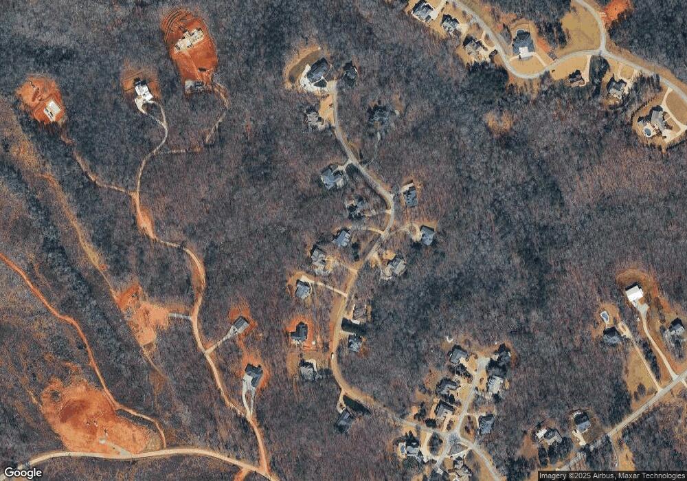
Map
Nearby Homes
- 255 Laurel Place Dr
- 0 Woodmont Dr Unit LOT 3
- 263 Woodmont Dr
- 4196 Mud Creek Rd
- 276 Bent Oak Dr
- 167 Waterford Cir
- 00 Wyly Cherry St
- 1307 Creasy Patch Rd
- 401 Herrin Rd
- 1.73 ACRES TR3 Garrison Rd
- 1.18 ACRES Garrison Rd
- 776 Dawn Place
- 335 Highland Pointe Dr
- 769 Dawn Place
- 424 Highland Pointe Dr
- 731 Dawn Place
- 318 Waterford Cir
- 0 Hubert Harris
- 444 Highland Pointe Dr
- 236 Garrison Rd
- 287 Laurel Place Dr
- 291 Laurel Place Dr
- Lot 37 Laurel Place Dr
- Lot 36 Laurel Place Dr
- 262 Laurel Place Dr
- 329 Laurel Place Dr
- 247 Laurel Place Dr
- 284 Laurel Place Dr
- 228 Laurel Place Dr
- 276 Laurel Place Dr
- 45 Laurel Place Dr
- 224 Laurel Place Dr
- 328 Laurel Place Dr
- 207 Laurel Place Dr Unit 46
- 207 Laurel Place Dr
- 350 Laurel Place Dr
- 336 Laurel Place Dr
- 131 Berry Ridge Ct
- 204 Seldom Rest Ln
- 115 Berry Ridge Ct
Your Personal Tour Guide
Ask me questions while you tour the home.