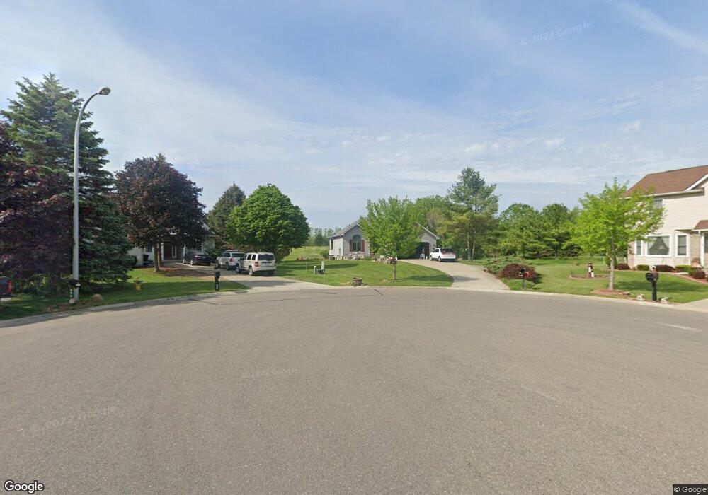
287 Mansfield Dr Lapeer, MI 48446
Lapeer AreaEstimated Value: $334,000 - $354,000
2
Beds
3
Baths
1,725
Sq Ft
$201/Sq Ft
Est. Value
About This Home
This home is located at 287 Mansfield Dr, Lapeer, MI 48446 and is currently estimated at $347,420, approximately $201 per square foot. 287 Mansfield Dr is a home located in Lapeer County with nearby schools including C.K. Schickler Elementary School, Rolland-Warner Middle School, and Lapeer High School.
Create a Home Valuation Report for This Property
The Home Valuation Report is an in-depth analysis detailing your home's value as well as a comparison with similar homes in the area
Home Values in the Area
Average Home Value in this Area
Map
Nearby Homes
- 291 Golfside Dr
- VL Whisper Ridge Dr
- 317 (Immediate occup Devonshire Dr Unit 9
- 305 Devonshire Dr
- 305 Devonshire Dr Unit 8
- 360 Devonshire Dr Unit 32
- 362 Devonshire Dr Unit 31
- 374 Devonshire Dr Unit 30
- 374 Devonshire Dr
- 376 Devonshire Dr
- 388 Devonshire Dr
- 339 Wildflower Ln
- 390 Devonshire Dr
- 390 Devonshire Dr Unit 27
- 3150 Davison Rd
- 3034 W Oregon Rd
- 0 Millville Rd Unit 50156590
- 3297 Reamer Rd
- 1135 Lancaster St
- 1110 Lancaster St
- 282 Mansfield Dr
- 295 Mansfield Dr
- 288 Courtneys Place
- 294 Courtneys Place
- 290 Mansfield Dr
- 305 Mansfield Dr
- 298 Mansfield Dr
- 306 Courtneys Place
- 0 Mansfield Dr Unit 218049550
- 0 Mansfield Dr Unit 217053892
- 0 Mansfield Dr Unit R213039749
- 304 Mansfield Dr
- 291 Courtneys Place
- 311 Mansfield Dr
- 310 Mansfield Dr
- 299 Courtneys Place
- 312 Courtneys Place
- 307 Courtneys Place
- 307 Courtney Place
- 319 Mansfield Dr
Your Personal Tour Guide
Ask me questions while you tour the home.