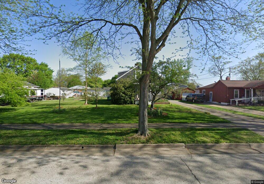
2877 Morrison St Akron, OH 44312
Ellet NeighborhoodEstimated Value: $159,000 - $173,995
About This Home
This home is located at 2877 Morrison St, Akron, OH 44312 and is currently estimated at $163,999, approximately $189 per square foot. 2877 Morrison St is a home located in Summit County with nearby schools including Ellet High School, Summit Academy Akron Elementary School, and Hatton Community Learning Center.
Ownership History
We collect this data history from publicly available records. To have your information removed, we recommend requesting removal directly through your county’s website.
Purchase Details
Purchase Details
Purchase Details
Purchase Details
Home Values in the Area
Average Home Value in this Area
Purchase History
We collect this data history from publicly available records. To have your information removed, we recommend requesting removal directly through your county’s website.
| Date | Buyer | Sale Price | Title Company |
|---|---|---|---|
| -- | None Listed On Document | ||
| -- | None Listed On Document | ||
| $59,000 | -- | ||
| -- | -- |
Tax History
We collect this data history from publicly available records. To have your information removed, we recommend requesting removal directly through your county’s website.
| Year | Tax Paid | Tax Assessment Tax Assessment Total Assessment is a certain percentage of the fair market value that is determined by local assessors to be the total taxable value of land and additions on the property. | Land | Improvement |
|---|---|---|---|---|
| 2026 | $5,618 | $61,209 | $13,052 | $48,157 |
| 2025 | $2,712 | $48,003 | $11,928 | $36,075 |
| 2024 | $2,712 | $48,003 | $11,928 | $36,075 |
| 2023 | $2,712 | $48,003 | $11,928 | $36,075 |
| 2022 | $2,750 | $38,315 | $9,394 | $28,921 |
| 2021 | $2,753 | $38,315 | $9,394 | $28,921 |
| 2020 | $2,714 | $38,310 | $9,390 | $28,920 |
| 2019 | $2,268 | $28,660 | $9,390 | $19,270 |
| 2018 | $2,184 | $28,660 | $9,390 | $19,270 |
| 2017 | $2,217 | $28,660 | $9,390 | $19,270 |
| 2016 | $2,219 | $28,660 | $9,390 | $19,270 |
| 2015 | $2,217 | $28,660 | $9,390 | $19,270 |
| 2014 | $2,200 | $28,660 | $9,390 | $19,270 |
| 2013 | $2,168 | $28,810 | $9,390 | $19,420 |
Map
- 2859 Robindale Ave
- 2854 Berne St
- 6 Kreiner Ave
- 5 Kreiner Ave
- 223 Davenport Ave
- 186 Pocantico Ave
- 192 Davenport Ave
- 172 Davenport Ave
- 45 Columbine Ave
- 0 Kreiner Ave
- 62 Hyland Dr
- 16 Hyland Dr
- 2603 Graham Ave
- 404 Wirth Ave
- 2562 Graham Ave
- 2904 Pepper Hill Cir
- 483 Stetler Ave
- 2615 Leland Ave
- 246 Columbine Ave
- 2550 Cedar Creek Ln
- 2874 Burnside St
- 2874 Burnside St
- 2868 Burnside St
- 86 Pauline Ave
- 86 Pauline Ave
- 2867 Morrison St
- 2860 Burnside St
- 2863 Morrison St
- 2885 Morrison St
- 2867 Burnside St
- 2850 Burnside St
- 2883 Burnside St
- 85 Pauline Ave
- 2849 Morrison St
- 2849 Morrison St
- 89 Pauline Ave
- 75 Pauline Ave
- 95 Pauline Ave
- 2844 Burnside St
- 2853 Burnside St
Ask me questions while you tour the home.