2884 Highway 98 Maysville, GA 30558
Estimated Value: $283,231 - $356,000
2
Beds
2
Baths
1,070
Sq Ft
$294/Sq Ft
Est. Value
About This Home
This home is located at 2884 Highway 98, Maysville, GA 30558 and is currently estimated at $314,744, approximately $294 per square foot. 2884 Highway 98 is a home with nearby schools including Banks County Primary School, Banks County Elementary School, and Banks County Middle School.
Ownership History
Date
Name
Owned For
Owner Type
Purchase Details
Closed on
Nov 24, 2016
Sold by
Jean A
Bought by
Henderson Franklin Montgomery and Henderson Stephen Page
Current Estimated Value
Purchase Details
Closed on
Dec 4, 2014
Sold by
Henderson Frank M
Bought by
Henderson Franklin Montgomery and Henderson Jean A
Purchase Details
Closed on
Jan 31, 2012
Sold by
Henderson Page
Bought by
Henderson Jean A
Create a Home Valuation Report for This Property
The Home Valuation Report is an in-depth analysis detailing your home's value as well as a comparison with similar homes in the area
Home Values in the Area
Average Home Value in this Area
Purchase History
| Date | Buyer | Sale Price | Title Company |
|---|---|---|---|
| Henderson Franklin Montgomery | -- | -- | |
| Henderson Franklin Montgomery | -- | -- | |
| Henderson Jean A | -- | -- | |
| Henderson Jean A | -- | -- | |
| Henderson Page | -- | -- |
Source: Public Records
Tax History
| Year | Tax Paid | Tax Assessment Tax Assessment Total Assessment is a certain percentage of the fair market value that is determined by local assessors to be the total taxable value of land and additions on the property. | Land | Improvement |
|---|---|---|---|---|
| 2025 | $1,379 | $96,358 | $35,508 | $60,850 |
| 2024 | $1,379 | $90,732 | $32,281 | $58,451 |
| 2023 | $948 | $84,571 | $35,523 | $49,048 |
| 2022 | $1,152 | $74,802 | $32,522 | $42,280 |
| 2021 | $625 | $47,954 | $21,776 | $26,178 |
| 2020 | $527 | $43,003 | $19,535 | $23,468 |
| 2019 | $530 | $43,003 | $19,535 | $23,468 |
| 2018 | $489 | $40,869 | $19,535 | $21,334 |
| 2017 | $316 | $32,950 | $13,954 | $18,996 |
| 2016 | $828 | $32,950 | $13,954 | $18,996 |
| 2015 | -- | $32,950 | $13,954 | $18,996 |
| 2014 | -- | $45,728 | $26,732 | $18,996 |
| 2013 | -- | $45,728 | $26,732 | $18,996 |
Source: Public Records
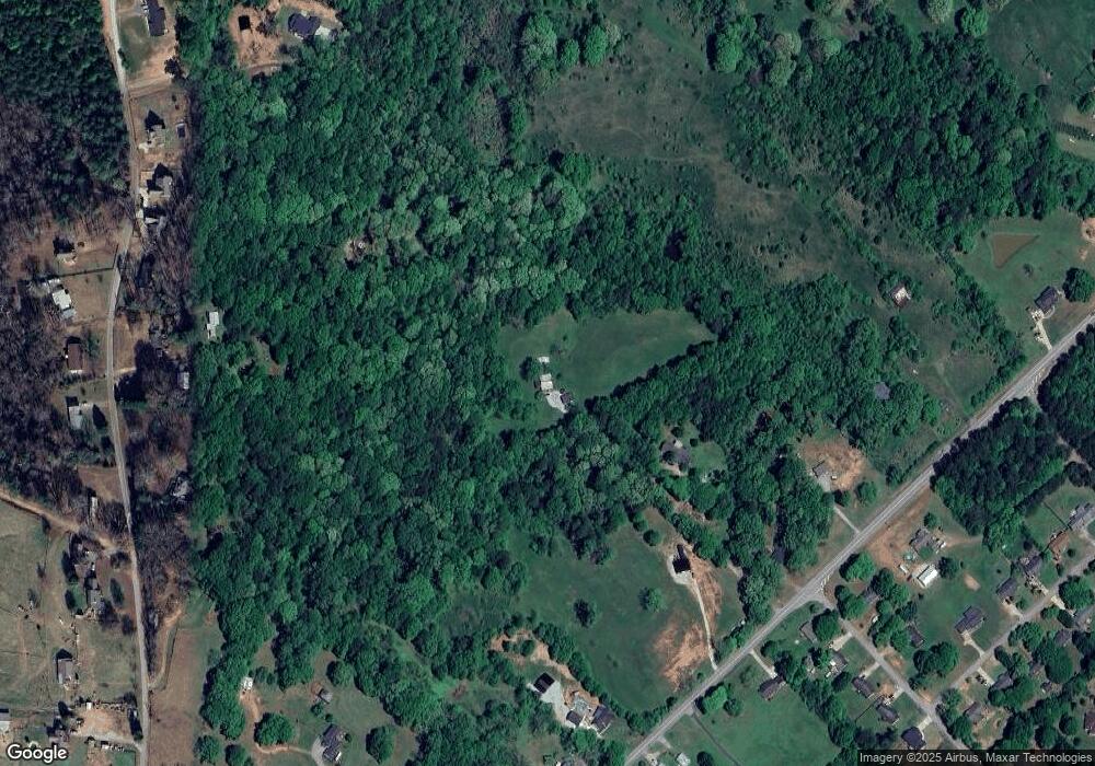
Map
Nearby Homes
- 2810 Highway 98
- 1646 Mitchell Rd
- 75 Meadow Lark Way
- 72 S Main St
- 362 Sims St
- 8795 Maysville Rd
- 301 Oak Ridge Dr
- 57 Eagle Heights Dr
- 23 Eagle Heights Dr
- 439 Oak Ridge Dr
- 0 Hunters Glen Unit 7657277
- 0 Hunters Glen Unit 10614427
- 191 Eagle Heights Dr
- 104 Eagle Heights Dr
- 116 Valley View Dr
- 156 Bel Air Dr
- 0 Panhandler Circle (2c) Rd Unit 10727141
- 0 Panhandler Circle (2c) Rd Unit 7748758
- 142 Holland Dam Dr
- 110 Liberty Freedom Ln
Your Personal Tour Guide
Ask me questions while you tour the home.