28872 N Oak Dr Wright City, MO 63390
Estimated Value: $311,000 - $386,784
Studio
--
Bath
1,710
Sq Ft
$205/Sq Ft
Est. Value
About This Home
This home is located at 28872 N Oak Dr, Wright City, MO 63390 and is currently estimated at $350,946, approximately $205 per square foot. 28872 N Oak Dr is a home with nearby schools including Rebecca Boone Elementary School, Black Hawk Middle School, and Warrenton High School.
Ownership History
Date
Name
Owned For
Owner Type
Purchase Details
Closed on
Aug 25, 2008
Sold by
Mcbroom Michael D
Bought by
Mcbroom Michael D
Current Estimated Value
Home Financials for this Owner
Home Financials are based on the most recent Mortgage that was taken out on this home.
Original Mortgage
$243,348
Outstanding Balance
$159,606
Interest Rate
6.66%
Mortgage Type
FHA
Estimated Equity
$191,340
Purchase Details
Closed on
Jun 29, 2005
Sold by
Mcbroom Julie M and Mcbroom Michael D
Bought by
Mcbroom Michael D
Home Financials for this Owner
Home Financials are based on the most recent Mortgage that was taken out on this home.
Original Mortgage
$188,000
Interest Rate
5.51%
Mortgage Type
New Conventional
Create a Home Valuation Report for This Property
The Home Valuation Report is an in-depth analysis detailing your home's value as well as a comparison with similar homes in the area
Home Values in the Area
Average Home Value in this Area
Purchase History
| Date | Buyer | Sale Price | Title Company |
|---|---|---|---|
| Mcbroom Michael D | -- | None Available | |
| Mcbroom Michael D | -- | None Available |
Source: Public Records
Mortgage History
| Date | Status | Borrower | Loan Amount |
|---|---|---|---|
| Open | Mcbroom Michael D | $243,348 | |
| Previous Owner | Mcbroom Michael D | $188,000 | |
| Previous Owner | Mcbroom Michael D | $47,000 |
Source: Public Records
Tax History
| Year | Tax Paid | Tax Assessment Tax Assessment Total Assessment is a certain percentage of the fair market value that is determined by local assessors to be the total taxable value of land and additions on the property. | Land | Improvement |
|---|---|---|---|---|
| 2025 | $2,201 | $36,801 | $2,550 | $34,251 |
| 2024 | $2,201 | $32,567 | $2,257 | $30,310 |
| 2023 | $1,898 | $32,567 | $2,257 | $30,310 |
| 2022 | $1,763 | $30,155 | $2,090 | $28,065 |
| 2021 | $1,763 | $30,155 | $2,090 | $28,065 |
| 2020 | $1,771 | $30,155 | $2,090 | $28,065 |
| 2019 | $1,772 | $30,155 | $0 | $0 |
| 2017 | $1,752 | $30,155 | $0 | $0 |
| 2016 | $1,746 | $30,155 | $0 | $0 |
| 2015 | -- | $30,155 | $0 | $0 |
| 2011 | -- | $30,160 | $0 | $0 |
Source: Public Records
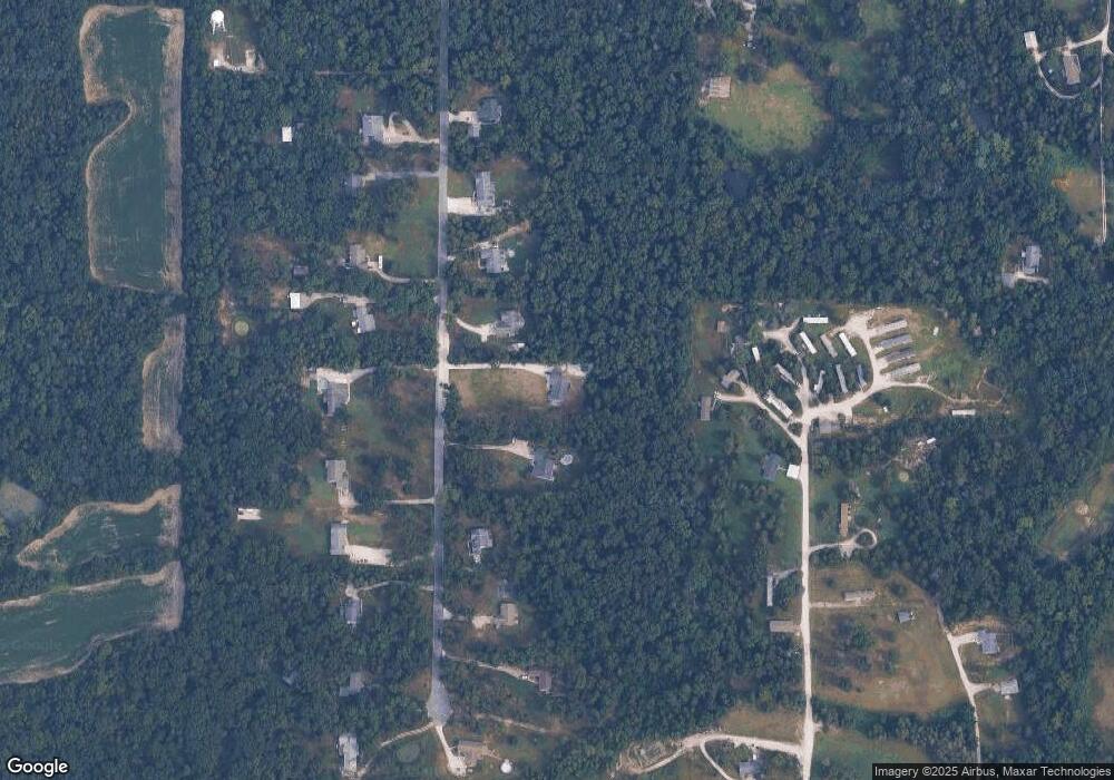
Map
Nearby Homes
- 29086 State Highway Aa
- 00 N Service Rd
- 2 Bblt Oakland at Elkhorn Ridge
- 2 Bblt Ashby at Elkhorn Ridge
- 2 Bblt Cypress at Elkhorn Ridge
- 2 Bblt Bradford at Elkhorn Ridge
- 3 Bblt Elmhurst at Elkhorn Ridge
- 3 Bblt Cypress at Elkhorn Ridge
- 3 Bblt Bradford at Elkhorn Ridge
- 3 Bblt Ashby at Elkhorn Ridge
- 3 Bblt Hawthorn at Elkhorn Ridge
- 3 Bblt Oakland at Elkhorn Ridge
- 2 Bblt Hawthorn at Elkhorn Ridge
- 2 Bblt Elmhurst at Elkhorn Ridge
- 380 Cumberland Ct
- 466 Austin Dr
- 478 Austin Dr
- 2 Aspen II at Elkhorn Ridge
- 396 Cumberland Ct
- 2 Maple at Elkhorn Ridge Manor
Your Personal Tour Guide
Ask me questions while you tour the home.