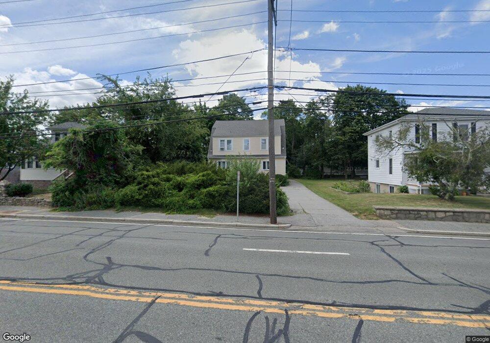
2889 Pawtucket Ave Riverside, RI 02915
Outer East Bay NeighborhoodEstimated Value: $487,000 - $592,000
4
Beds
3
Baths
2,358
Sq Ft
$229/Sq Ft
Est. Value
About This Home
This home is located at 2889 Pawtucket Ave, Riverside, RI 02915 and is currently estimated at $539,667, approximately $228 per square foot. 2889 Pawtucket Ave is a home located in Providence County with nearby schools including East Providence High School, St Mary Academy-Bay View, and The Gordon School.
Ownership History
Date
Name
Owned For
Owner Type
Purchase Details
Closed on
Feb 21, 2013
Sold by
Rinebolt Donald E and Rinebolt Sandra L
Bought by
Donald Edwin Rinebolt and Sandra Lee Rinebolt Lt
Current Estimated Value
Home Financials for this Owner
Home Financials are based on the most recent Mortgage that was taken out on this home.
Original Mortgage
$24,840
Interest Rate
3.41%
Create a Home Valuation Report for This Property
The Home Valuation Report is an in-depth analysis detailing your home's value as well as a comparison with similar homes in the area
Home Values in the Area
Average Home Value in this Area
Purchase History
| Date | Buyer | Sale Price | Title Company |
|---|---|---|---|
| Donald Edwin Rinebolt | -- | -- | |
| Donald Edwin Rinebolt | -- | -- |
Source: Public Records
Mortgage History
| Date | Status | Borrower | Loan Amount |
|---|---|---|---|
| Closed | Donald Edwin Rinebolt | $42,810 | |
| Closed | Donald Edwin Rinebolt | $24,840 |
Source: Public Records
Tax History
| Year | Tax Paid | Tax Assessment Tax Assessment Total Assessment is a certain percentage of the fair market value that is determined by local assessors to be the total taxable value of land and additions on the property. | Land | Improvement |
|---|---|---|---|---|
| 2025 | $7,076 | $541,400 | $131,200 | $410,200 |
| 2024 | $6,104 | $398,200 | $109,400 | $288,800 |
| 2023 | $5,877 | $398,200 | $109,400 | $288,800 |
| 2022 | $5,662 | $259,000 | $62,700 | $196,300 |
| 2021 | $5,569 | $259,000 | $61,300 | $197,700 |
| 2020 | $5,333 | $259,000 | $61,300 | $197,700 |
| 2019 | $5,185 | $259,000 | $61,300 | $197,700 |
| 2018 | $4,466 | $195,200 | $53,900 | $141,300 |
| 2017 | $4,367 | $195,200 | $53,900 | $141,300 |
| 2016 | $4,345 | $195,200 | $53,900 | $141,300 |
| 2015 | $4,702 | $204,900 | $55,400 | $149,500 |
| 2014 | $4,702 | $204,900 | $55,400 | $149,500 |
Source: Public Records
Map
Nearby Homes
- 2919 Pawtucket Ave
- 42 Mountain Ave
- 2941 Pawtucket Ave
- 53 Wampanoag Trail
- 220 Vincent Ave
- 32 Milburn Rd
- 34 Commack Rd
- 52 Maxfield Ave
- 180 Grassmere Ave
- 14 Maxfield Ave
- 72 Allerton Ave
- 74 Brookhaven Dr
- 77 Gardiner Ave
- 177 Dover Ave
- 30 Dover Ave
- 6 Fuller Ave
- 400 Juniper St Unit A
- 400 Juniper St Unit C
- 400 Juniper St Unit B
- 10 Brightridge Ave
- 2891 Pawtucket Ave
- 2885 Pawtucket Ave Unit 2887
- 2909 Pawtucket Ave
- 14 Bay View Ave
- 130 Crown Ave
- 126 Crown Ave
- 22 Bay View Ave
- 2890 Pawtucket Ave
- 2888 Pawtucket Ave
- 3 Bay View Ave
- 122 Crown Ave
- 13 Bay View Ave
- 26 Bay View Ave
- 2919 Pawtucket Ave Unit 2
- 15 Bay View Ave
- 118 Crown Ave
- 125 Crown Ave
- 2869 Pawtucket Ave
- 34 Bay View Ave
- 2880 Pawtucket Ave
Your Personal Tour Guide
Ask me questions while you tour the home.