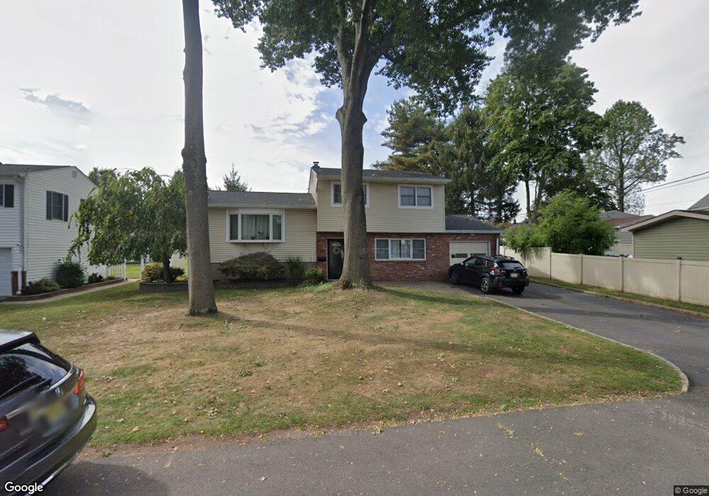
289 Anthony Ave Middlesex, NJ 08846
Middlesex AreaEstimated Value: $563,000 - $603,333
About This Home
This home is located at 289 Anthony Ave, Middlesex, NJ 08846 and is currently estimated at $580,583, approximately $345 per square foot. 289 Anthony Ave is a home located in Middlesex County with nearby schools including Middlesex High School and Our Lady of Mount Virgin School.
Ownership History
We collect this data history from publicly available records. To have your information removed, we recommend requesting removal directly through your county’s website.
Purchase Details
Home Values in the Area
Average Home Value in this Area
Purchase History
We collect this data history from publicly available records. To have your information removed, we recommend requesting removal directly through your county’s website.
| Date | Buyer | Sale Price | Title Company |
|---|---|---|---|
| $405,000 | -- |
Tax History
We collect this data history from publicly available records. To have your information removed, we recommend requesting removal directly through your county’s website.
| Year | Tax Paid | Tax Assessment Tax Assessment Total Assessment is a certain percentage of the fair market value that is determined by local assessors to be the total taxable value of land and additions on the property. | Land | Improvement |
|---|---|---|---|---|
| 2026 | $10,948 | $519,400 | $153,800 | $365,600 |
| 2025 | $11,707 | $516,400 | $153,800 | $362,600 |
| 2024 | $11,145 | $505,900 | $153,800 | $352,100 |
| 2023 | $11,145 | $505,900 | $153,800 | $352,100 |
| 2022 | $10,148 | $102,600 | $35,600 | $67,000 |
| 2021 | $7,362 | $102,600 | $35,600 | $67,000 |
| 2020 | $9,667 | $102,600 | $35,600 | $67,000 |
| 2019 | $9,405 | $102,600 | $35,600 | $67,000 |
| 2018 | $9,120 | $102,600 | $35,600 | $67,000 |
| 2017 | $8,869 | $102,600 | $35,600 | $67,000 |
| 2016 | $8,576 | $102,600 | $35,600 | $67,000 |
| 2015 | $8,395 | $102,600 | $35,600 | $67,000 |
| 2014 | $8,235 | $102,600 | $35,600 | $67,000 |
Map
- 154 Mulberry Ln
- 207 Grant Ave
- 261 Beechwood Ave
- 31 Shearn Dr
- 108 Howard Ave
- 146 Giles Ave
- 260 Nagle St
- 151 Beechwood Ave
- 203 Harris Ave
- 326 Melrose Ave
- 717 Hawthorne Ave
- 167 Barbara Place
- 420 Decatur Ave
- 822 Mountain Ave
- 118 Benart Place
- 807 Mountain Ave
- 815 Mountain Ave
- 21 Louis Ave
- 319 Edgeworth St
- 615 Ashland Rd
- 210 Lucia Ave
- 210 Lucia St
- 212 Lucia Ave
- 206 Lucia Ave
- 285 Anthony Ave
- 281 Anthony Ave
- 204 Lucia St
- 508 Hazelwood Ave
- 209 Lucia Ave
- 504 Hazelwood Ave
- 204 Lucia Ave
- 516 Hazelwood Ave
- 213 Lucia Ave
- 207 Lucia Ave
- 211 Lucia Ave
- 277 Anthony Ave
- 216 Shepherd Ave
- 216-shepherd 216 Shepherd Ave Ave Unit 2
- 216 Shepherd Ave Unit 2
- 216 Shepherd Ave Unit B
Ask me questions while you tour the home.