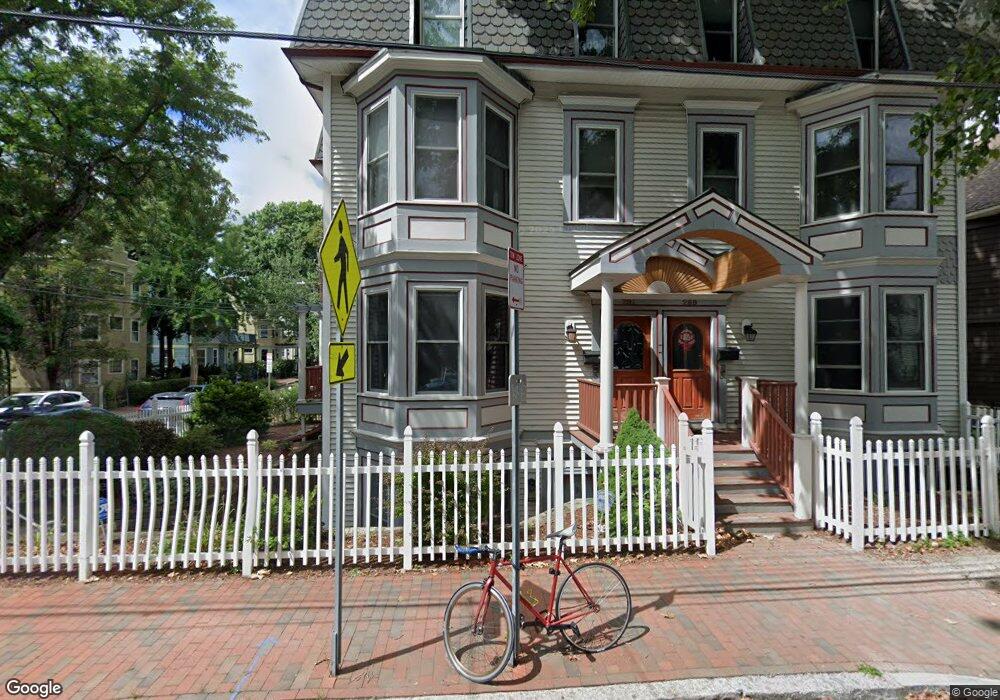
289 Pearl St Unit 6 Cambridge, MA 02139
Cambridgeport NeighborhoodEstimated Value: $1,263,000 - $1,924,000
3
Beds
2
Baths
1,835
Sq Ft
$826/Sq Ft
Est. Value
About This Home
This home is located at 289 Pearl St Unit 6, Cambridge, MA 02139 and is currently estimated at $1,515,665, approximately $825 per square foot. 289 Pearl St Unit 6 is a home located in Middlesex County with nearby schools including Prospect Hill Academy Charter School, New England Hebrew Academy, and Boston University Academy.
Ownership History
Date
Name
Owned For
Owner Type
Purchase Details
Closed on
Dec 16, 2016
Sold by
Perrott Micahel H and Perrott Eun-Mi B
Bought by
Perrott Michael H
Current Estimated Value
Purchase Details
Closed on
Nov 24, 2010
Sold by
Perrott Michael H
Bought by
Perrott Michael H and Perrott Eun Mi Bai
Create a Home Valuation Report for This Property
The Home Valuation Report is an in-depth analysis detailing your home's value as well as a comparison with similar homes in the area
Home Values in the Area
Average Home Value in this Area
Purchase History
| Date | Buyer | Sale Price | Title Company |
|---|---|---|---|
| Perrott Michael H | -- | -- | |
| Perrott Michael H | -- | -- |
Source: Public Records
Tax History
| Year | Tax Paid | Tax Assessment Tax Assessment Total Assessment is a certain percentage of the fair market value that is determined by local assessors to be the total taxable value of land and additions on the property. | Land | Improvement |
|---|---|---|---|---|
| 2025 | $7,495 | $1,180,300 | $0 | $1,180,300 |
| 2024 | $7,104 | $1,200,000 | $0 | $1,200,000 |
| 2023 | $6,517 | $1,112,100 | $0 | $1,112,100 |
| 2022 | $6,229 | $1,052,200 | $0 | $1,052,200 |
| 2021 | $6,096 | $1,042,000 | $0 | $1,042,000 |
| 2020 | $5,678 | $987,500 | $0 | $987,500 |
| 2019 | $5,443 | $916,400 | $0 | $916,400 |
| 2018 | $5,291 | $841,200 | $0 | $841,200 |
| 2017 | $5,206 | $802,100 | $0 | $802,100 |
| 2016 | $5,082 | $727,000 | $0 | $727,000 |
| 2015 | $5,039 | $644,400 | $0 | $644,400 |
| 2014 | $4,966 | $592,600 | $0 | $592,600 |
Source: Public Records
Map
Nearby Homes
- 179 Chestnut St Unit 2
- 151 Magazine St Unit 2
- 174 Hamilton St
- 201 Pearl St Unit 2
- 262 Sidney St Unit 3
- 138 Pleasant St Unit 138
- 20 Chestnut St Unit 26
- 20 Chestnut St Unit 11
- 20 Chalk St
- 8 Valentine St Unit 8
- 169 Brookline St Unit 169
- 6 Valentine St Unit 10
- 100 Pacific St Unit 7
- 6 Watson St Unit 1
- 13 Howard St Unit 1
- 39 Cottage St
- 104-106 Auburn St
- 22 Magazine
- 62 Pearl St
- 26 Jay St Unit 1
- 289 Pearl St Unit 291
- 289 Pearl St Unit 291
- 289 Pearl St Unit 291
- 289 Pearl St Unit 291
- 289 Pearl St Unit 291
- 289 Pearl St Unit 291
- 289 Pearl St Unit 1
- 289 Pearl St Unit 3
- 289 Pearl St
- 289 Pearl St Unit 2
- 289 - 291 Pearl St Unit 3
- 289 - 291 Pearl St Unit 6
- 291 Pearl St Unit 1
- 291 Pearl St Unit 2
- 287 Pearl St Unit 2
- 287 Pearl St Unit 1
- 161 Chestnut St
- 159 Chestnut St Unit 161
- 159-161 Chestnut St
- 295 Pearl St
Your Personal Tour Guide
Ask me questions while you tour the home.