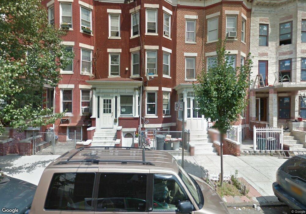
2894 Heath Ave Bronx, NY 10463
Kingsbridge Heights NeighborhoodEstimated Value: $731,085 - $950,000
Studio
--
Bath
2,360
Sq Ft
$361/Sq Ft
Est. Value
About This Home
This home is located at 2894 Heath Ave, Bronx, NY 10463 and is currently estimated at $853,021, approximately $361 per square foot. 2894 Heath Ave is a home located in Bronx County with nearby schools including P.S. 310 Marble Hill, New School For Leadership And Journalism, and Amber Charter School Kingsbridge.
Ownership History
Date
Name
Owned For
Owner Type
Purchase Details
Closed on
Apr 5, 2018
Sold by
Liritsis George
Bought by
2894 Heath Llc
Current Estimated Value
Purchase Details
Closed on
Sep 4, 2001
Sold by
Diakakis Marina
Bought by
Liristis George
Home Financials for this Owner
Home Financials are based on the most recent Mortgage that was taken out on this home.
Original Mortgage
$157,500
Interest Rate
6.98%
Create a Home Valuation Report for This Property
The Home Valuation Report is an in-depth analysis detailing your home's value as well as a comparison with similar homes in the area
Home Values in the Area
Average Home Value in this Area
Purchase History
| Date | Buyer | Sale Price | Title Company |
|---|---|---|---|
| 2894 Heath Llc | -- | -- | |
| Liristis George | -- | -- |
Source: Public Records
Mortgage History
| Date | Status | Borrower | Loan Amount |
|---|---|---|---|
| Previous Owner | Liristis George | $157,500 |
Source: Public Records
Tax History
| Year | Tax Paid | Tax Assessment Tax Assessment Total Assessment is a certain percentage of the fair market value that is determined by local assessors to be the total taxable value of land and additions on the property. | Land | Improvement |
|---|---|---|---|---|
| 2025 | $6,340 | $31,852 | $5,892 | $25,960 |
| 2024 | $6,340 | $31,565 | $6,286 | $25,279 |
| 2023 | $6,054 | $29,809 | $5,181 | $24,628 |
| 2022 | $5,614 | $45,900 | $8,280 | $37,620 |
| 2021 | $5,587 | $41,100 | $8,280 | $32,820 |
| 2020 | $5,618 | $41,040 | $8,280 | $32,760 |
| 2019 | $5,503 | $37,140 | $8,280 | $28,860 |
| 2018 | $5,064 | $24,841 | $4,728 | $20,113 |
| 2017 | $4,778 | $23,437 | $5,557 | $17,880 |
| 2016 | $4,423 | $22,123 | $5,894 | $16,229 |
| 2015 | $2,667 | $22,119 | $7,278 | $14,841 |
| 2014 | $2,667 | $21,920 | $7,588 | $14,332 |
Source: Public Records
Map
Nearby Homes
- 2896 Heath Ave
- 2916 Heath Ave
- 2860 Bailey Ave Unit 5D
- 2890 Bailey Ave
- 3041 Sedgwick Ave
- 3043 Bailey Ave
- 2759 Kingsbridge Terrace
- 2835 Webb Ave Unit 7E
- 2835 Webb Ave Unit 5B
- 2835 Webb Ave Unit 9E
- 2835 Webb Ave Unit 6C
- 3083 Heath Ave
- 2730 Kingsbridge Terrace
- 123 W 197th St
- 3099 Heath Ave Unit 2A
- 3119 Bailey Ave Unit 4F
- 191A W Kingsbridge Rd Unit 3
- 3123 Bailey Ave Unit 3A
- 133 W 195th St
- 3311 Giles Place Unit 2D
- 2892 Heath Ave
- 2898 Heath Ave
- 2890 Heath Ave
- 2900 Heath Ave
- 2888 Heath Ave
- 2902 Heath Ave
- 2886 Heath Ave
- 2884 Heath Ave
- 2906 Heath Ave
- 2882 Heath Ave
- 2908 Heath Ave
- 2880 Heath Ave
- 2910 Heath Ave
- 2885 Heath Ave
- 2887 Heath Ave
- 2899 Kingsbridge Terrace
- 2883 Heath Ave
- 2889 Heath Ave
- 2878 Heath Ave
- 2881 Heath Ave
Your Personal Tour Guide
Ask me questions while you tour the home.