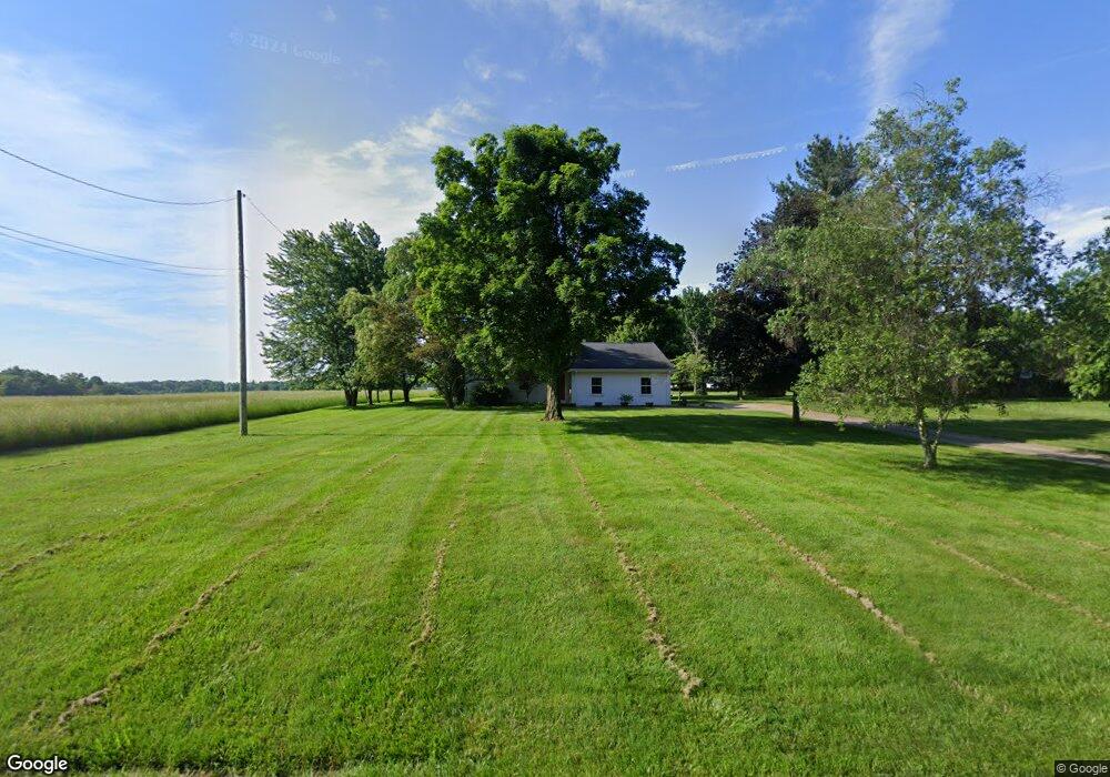
2895 W Calla Rd Canfield, OH 44406
Estimated Value: $274,295 - $357,000
3
Beds
3
Baths
1,872
Sq Ft
$170/Sq Ft
Est. Value
About This Home
This home is located at 2895 W Calla Rd, Canfield, OH 44406 and is currently estimated at $319,074, approximately $170 per square foot. 2895 W Calla Rd is a home located in Mahoning County with nearby schools including South Range Elementary School, South Range Middle School, and South Range High School.
Ownership History
Date
Name
Owned For
Owner Type
Purchase Details
Closed on
Nov 30, 2023
Sold by
Melvin Bradley D
Bought by
Melvin Sean G and Karshner Paula Kay
Current Estimated Value
Purchase Details
Closed on
Oct 18, 2012
Sold by
Decenso James R and Decenso Geraldine A
Bought by
Melvin Bradley D
Home Financials for this Owner
Home Financials are based on the most recent Mortgage that was taken out on this home.
Original Mortgage
$156,122
Interest Rate
3.28%
Mortgage Type
New Conventional
Purchase Details
Closed on
Oct 17, 1986
Bought by
Decenso James R
Create a Home Valuation Report for This Property
The Home Valuation Report is an in-depth analysis detailing your home's value as well as a comparison with similar homes in the area
Purchase History
| Date | Buyer | Sale Price | Title Company |
|---|---|---|---|
| Melvin Sean G | -- | -- | |
| Melvin Bradley D | $153,000 | Attorney | |
| Decenso James R | $85,300 | -- |
Source: Public Records
Mortgage History
| Date | Status | Borrower | Loan Amount |
|---|---|---|---|
| Previous Owner | Melvin Bradley D | $156,122 |
Source: Public Records
Tax History
| Year | Tax Paid | Tax Assessment Tax Assessment Total Assessment is a certain percentage of the fair market value that is determined by local assessors to be the total taxable value of land and additions on the property. | Land | Improvement |
|---|---|---|---|---|
| 2025 | $2,974 | $70,300 | $6,460 | $63,840 |
| 2024 | $2,937 | $70,300 | $6,460 | $63,840 |
| 2023 | $2,977 | $70,300 | $6,460 | $63,840 |
| 2022 | $3,349 | $59,770 | $5,950 | $53,820 |
| 2021 | $3,390 | $59,770 | $5,950 | $53,820 |
| 2020 | $3,405 | $59,770 | $5,950 | $53,820 |
| 2019 | $2,974 | $50,800 | $5,950 | $44,850 |
| 2018 | $2,934 | $50,800 | $5,950 | $44,850 |
| 2017 | $2,931 | $50,800 | $5,950 | $44,850 |
| 2016 | $2,863 | $48,350 | $4,760 | $43,590 |
| 2015 | $2,811 | $48,350 | $4,760 | $43,590 |
| 2014 | $2,843 | $48,350 | $4,760 | $43,590 |
| 2013 | $2,818 | $48,350 | $4,760 | $43,590 |
Source: Public Records
Map
Nearby Homes
- 9501 New Buffalo Rd
- 9175 Detwiler Rd
- Lot 36 Berklee Dr
- 524 Berklee Dr
- 1594 W Western Reserve Rd
- 0 Sharrott Rd Unit 5192927
- 4530 W Middletown Rd
- 9264 Sharrott Rd Unit 1001
- 9264 Sharrott Rd Unit 801
- 9264 Sharrott Rd Unit 1002
- 9264 Sharrott Rd Unit 104
- 674 Angiline Dr
- 1242 W Western Reserve Rd
- 11695 Basinger Rd
- 454 Garver Dr
- 3555 W South Range Rd
- 0 W Middletown Rd
- 5111 W Middletown Rd
- 0 W Western Reserve Rd Unit 5188999
- 9140 Woodworth Rd
- 2885 W Calla Rd
- 2921 W Calla Rd
- 2852 W Calla Rd
- 9975 New Buffalo Rd
- 2856 W Calla Rd
- 10135 New Buffalo Rd
- 10070 New Buffalo Rd
- 10050 New Buffalo Rd
- 10161 New Buffalo Rd
- 10090 New Buffalo Rd
- 9911 New Buffalo Rd
- 10116 New Buffalo Rd
- 10191 New Buffalo Rd
- 10160 New Buffalo Rd
- 9873 New Buffalo Rd
- 9942 New Buffalo Rd
- 2718 W Calla Rd
- 10219 New Buffalo Rd
- 9914 New Buffalo Rd
- 10190 New Buffalo Rd
Your Personal Tour Guide
Ask me questions while you tour the home.