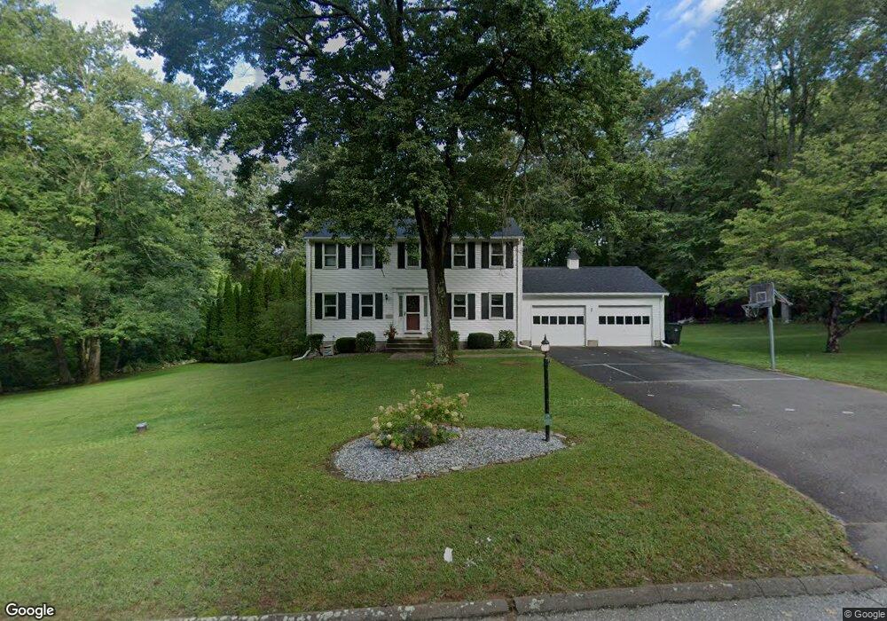
29 Cora Rd Tolland, CT 06084
Estimated Value: $465,781 - $560,000
4
Beds
4
Baths
2,012
Sq Ft
$254/Sq Ft
Est. Value
About This Home
This home is located at 29 Cora Rd, Tolland, CT 06084 and is currently estimated at $511,695, approximately $254 per square foot. 29 Cora Rd is a home located in Tolland County with nearby schools including Tolland High School.
Ownership History
Date
Name
Owned For
Owner Type
Purchase Details
Closed on
Mar 31, 2005
Sold by
Stake Johnathan and Stake Denise
Bought by
Tubbs Rebecca and Tubbs Michael
Current Estimated Value
Home Financials for this Owner
Home Financials are based on the most recent Mortgage that was taken out on this home.
Original Mortgage
$192,000
Interest Rate
5.61%
Purchase Details
Closed on
Jul 24, 1996
Sold by
Cashman Thelma
Bought by
Stake Johnathan and Rowe Denise
Create a Home Valuation Report for This Property
The Home Valuation Report is an in-depth analysis detailing your home's value as well as a comparison with similar homes in the area
Home Values in the Area
Average Home Value in this Area
Purchase History
| Date | Buyer | Sale Price | Title Company |
|---|---|---|---|
| Tubbs Rebecca | $323,000 | -- | |
| Tubbs Rebecca | $323,000 | -- | |
| Stake Johnathan | $177,900 | -- | |
| Stake Johnathan | $177,900 | -- |
Source: Public Records
Mortgage History
| Date | Status | Borrower | Loan Amount |
|---|---|---|---|
| Open | Stake Johnathan | $177,070 | |
| Closed | Stake Johnathan | $192,000 |
Source: Public Records
Tax History
| Year | Tax Paid | Tax Assessment Tax Assessment Total Assessment is a certain percentage of the fair market value that is determined by local assessors to be the total taxable value of land and additions on the property. | Land | Improvement |
|---|---|---|---|---|
| 2025 | $7,126 | $262,100 | $67,700 | $194,400 |
| 2024 | $6,780 | $179,500 | $64,500 | $115,000 |
| 2023 | $6,701 | $179,500 | $64,500 | $115,000 |
| 2022 | $6,566 | $179,500 | $64,500 | $115,000 |
| 2021 | $6,661 | $179,500 | $64,500 | $115,000 |
| 2020 | $6,471 | $179,500 | $64,500 | $115,000 |
| 2019 | $6,539 | $181,400 | $66,400 | $115,000 |
| 2018 | $6,349 | $181,400 | $66,400 | $115,000 |
| 2017 | $6,202 | $181,400 | $66,400 | $115,000 |
| 2016 | $6,202 | $181,400 | $66,400 | $115,000 |
| 2015 | $6,052 | $181,400 | $66,400 | $115,000 |
| 2014 | $5,862 | $188,800 | $73,900 | $114,900 |
Source: Public Records
Map
Nearby Homes
- 33 Josephine Way
- 25 Josephine Way
- 248 Merrow Rd
- 317 Merrow Rd
- 284 Merrow Rd
- 159 Anthony Rd
- 166 Anthony Rd
- 312 Merrow Rd
- 714 Tolland Stage Rd
- 00 Tolland Stage Rd
- 0 Tolland Stage Rd Unit 24101836
- 151 Walbridge Hill Rd
- 217 Old Post Rd
- 50 Cook Rd
- 10 Depot Rd Unit 15
- 131 River Rd
- 124 River Rd
- 39 Noah Ln
- 71 Neff Hill Rd
- 41 Neff Hill Rd
Your Personal Tour Guide
Ask me questions while you tour the home.