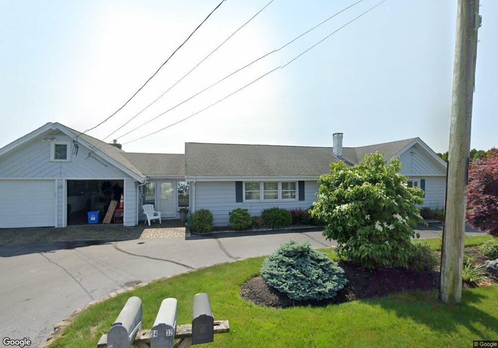
29 E Shore Rd Narragansett, RI 02882
Estimated Value: $1,010,460 - $1,534,000
3
Beds
2
Baths
1,632
Sq Ft
$768/Sq Ft
Est. Value
About This Home
This home is located at 29 E Shore Rd, Narragansett, RI 02882 and is currently estimated at $1,253,865, approximately $768 per square foot. 29 E Shore Rd is a home located in Washington County with nearby schools including Narragansett Elementary School, Narragansett Pier Middle School, and Narragansett High School.
Ownership History
Date
Name
Owned For
Owner Type
Purchase Details
Closed on
Jun 16, 2020
Sold by
Lynn M Gagnon T
Bought by
Lynn M Gagnon Irt
Current Estimated Value
Purchase Details
Closed on
Sep 8, 1995
Sold by
Pickthall Vivian S Est
Bought by
Gagnon Ronald G and Gagnon Lynn
Create a Home Valuation Report for This Property
The Home Valuation Report is an in-depth analysis detailing your home's value as well as a comparison with similar homes in the area
Home Values in the Area
Average Home Value in this Area
Purchase History
| Date | Buyer | Sale Price | Title Company |
|---|---|---|---|
| Lynn M Gagnon Irt | -- | None Available | |
| Gagnon Ronald G | $230,000 | -- |
Source: Public Records
Mortgage History
| Date | Status | Borrower | Loan Amount |
|---|---|---|---|
| Previous Owner | Gagnon Ronald G | $250,000 | |
| Previous Owner | Gagnon Ronald G | $147,500 | |
| Previous Owner | Gagnon Ronald G | $500,000 | |
| Previous Owner | Gagnon Ronald G | $150,000 |
Source: Public Records
Tax History
| Year | Tax Paid | Tax Assessment Tax Assessment Total Assessment is a certain percentage of the fair market value that is determined by local assessors to be the total taxable value of land and additions on the property. | Land | Improvement |
|---|---|---|---|---|
| 2025 | $8,485 | $1,249,600 | $956,200 | $293,400 |
| 2024 | $8,185 | $1,249,600 | $956,200 | $293,400 |
| 2023 | $7,528 | $808,600 | $616,900 | $191,700 |
| 2022 | $7,277 | $808,600 | $616,900 | $191,700 |
| 2021 | $7,164 | $808,600 | $616,900 | $191,700 |
| 2020 | $7,155 | $682,700 | $495,100 | $187,600 |
| 2019 | $6,984 | $682,700 | $495,100 | $187,600 |
| 2018 | $6,793 | $682,700 | $495,100 | $187,600 |
| 2017 | $8,180 | $774,600 | $591,100 | $183,500 |
| 2016 | $7,808 | $774,600 | $591,100 | $183,500 |
| 2015 | $7,700 | $774,600 | $591,100 | $183,500 |
| 2014 | $7,254 | $722,500 | $539,000 | $183,500 |
Source: Public Records
Map
Nearby Homes
- 7 Conch Rd
- 17 Goose Island Rd
- 1185 Succotash Rd
- 0 Barnacle Rd
- 1140 Succotash Rd
- 1138 Succotash Rd
- 6 MacAlder St
- 0 Hemlock Ave
- 0 Point Judith Rd
- 31 Hemlock Ave
- 1125 Point Judith Rd Unit D5
- 14 E Pointe Ct Unit 14
- 1048 Ocean Rd
- 17 Westside Rd
- 8 Conant Ave
- 268 Foddering Farm Rd
- 609 Point Judith Rd
- 200 Clarke Rd Unit A208
- 62 Daytona Ave
- 60 Daytona Ave
Your Personal Tour Guide
Ask me questions while you tour the home.