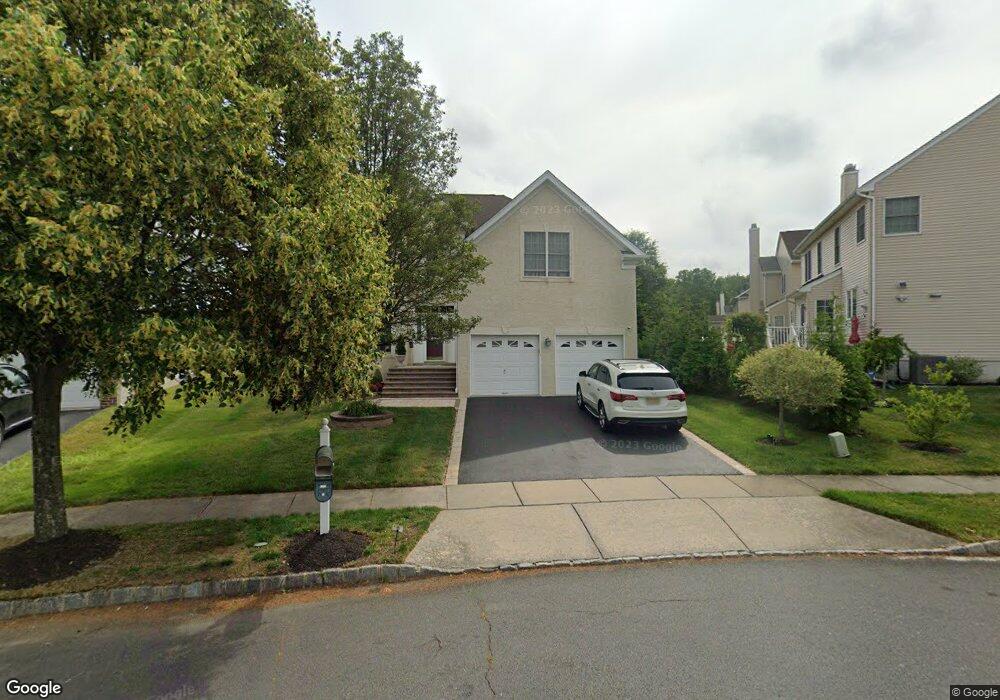
29 Esterbrook Dr Princeton, NJ 08540
Estimated Value: $1,233,000 - $1,320,000
4
Beds
4
Baths
2,800
Sq Ft
$457/Sq Ft
Est. Value
About This Home
This home is located at 29 Esterbrook Dr, Princeton, NJ 08540 and is currently estimated at $1,280,682, approximately $457 per square foot. 29 Esterbrook Dr is a home located in Mercer County with nearby schools including Maurice Hawk Elementary School, Millstone River School, and Community Middle School.
Ownership History
Date
Name
Owned For
Owner Type
Purchase Details
Closed on
Sep 9, 2008
Sold by
Peri Narasimham V and Dhavala Rama
Bought by
Shastri Devendra P and Shastri Dipalee
Current Estimated Value
Home Financials for this Owner
Home Financials are based on the most recent Mortgage that was taken out on this home.
Original Mortgage
$400,000
Outstanding Balance
$266,818
Interest Rate
6.58%
Mortgage Type
New Conventional
Estimated Equity
$1,013,864
Purchase Details
Closed on
Mar 16, 2006
Sold by
Estates At Princeton Junction
Bought by
Narasimham Peri and Dhavala Ramea
Home Financials for this Owner
Home Financials are based on the most recent Mortgage that was taken out on this home.
Original Mortgage
$572,296
Interest Rate
6.32%
Create a Home Valuation Report for This Property
The Home Valuation Report is an in-depth analysis detailing your home's value as well as a comparison with similar homes in the area
Home Values in the Area
Average Home Value in this Area
Purchase History
| Date | Buyer | Sale Price | Title Company |
|---|---|---|---|
| Shastri Devendra P | $760,000 | -- | |
| Narasimham Peri | $715,371 | -- |
Source: Public Records
Mortgage History
| Date | Status | Borrower | Loan Amount |
|---|---|---|---|
| Open | Shastri Devendra P | $400,000 | |
| Previous Owner | Narasimham Peri | $572,296 |
Source: Public Records
Tax History
| Year | Tax Paid | Tax Assessment Tax Assessment Total Assessment is a certain percentage of the fair market value that is determined by local assessors to be the total taxable value of land and additions on the property. | Land | Improvement |
|---|---|---|---|---|
| 2025 | $21,994 | $717,600 | $236,000 | $481,600 |
| 2024 | $21,076 | $717,600 | $236,000 | $481,600 |
| 2023 | $21,076 | $717,600 | $236,000 | $481,600 |
| 2022 | $20,667 | $717,600 | $236,000 | $481,600 |
| 2021 | $20,129 | $704,800 | $236,000 | $468,800 |
| 2020 | $19,763 | $704,800 | $236,000 | $468,800 |
| 2019 | $19,537 | $704,800 | $236,000 | $468,800 |
| 2018 | $19,354 | $704,800 | $236,000 | $468,800 |
| 2017 | $18,952 | $704,800 | $236,000 | $468,800 |
| 2016 | $18,543 | $704,800 | $236,000 | $468,800 |
| 2015 | $18,113 | $704,800 | $236,000 | $468,800 |
| 2014 | $17,902 | $704,800 | $236,000 | $468,800 |
Source: Public Records
Map
Nearby Homes
- 27 Esterbrook Dr
- 47 Greylynne Dr
- 49 Greylynne Dr
- 25 Esterbrook Dr
- 24 Lockwood Dr
- 51 Greylynne Dr
- 41 Greylynne Dr
- 22 Lockwood Dr
- 22 Lockwood Dr Unit none
- 23 Esterbrook Dr
- 53 Greylynne Dr
- 20 Lockwood Dr
- 39 Greylynne Dr
- 28 Esterbrook Dr
- 21 Esterbrook Dr
- 2 Norbridge Dr
- 55 Greylynne Dr
- 46 Greylynne Dr
- 18 Lockwood Dr
- 44 Greylynne Dr
Your Personal Tour Guide
Ask me questions while you tour the home.