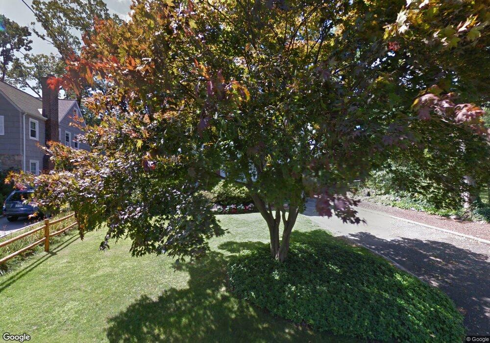
29 Locust Ave White Plains, NY 10605
Highlands NeighborhoodEstimated Value: $765,299 - $843,000
3
Beds
2
Baths
1,500
Sq Ft
$542/Sq Ft
Est. Value
About This Home
This home is located at 29 Locust Ave, White Plains, NY 10605 and is currently estimated at $813,075, approximately $542 per square foot. 29 Locust Ave is a home located in Westchester County with nearby schools including White Plains Middle School, White Plains Senior High School, and Kodomono Kuni School.
Ownership History
Date
Name
Owned For
Owner Type
Purchase Details
Closed on
Apr 15, 2026
Sold by
Carol Sheridan and Patrick Sheridan
Bought by
Carol Sheridan Revocable Trust and Sheridan
Current Estimated Value
Purchase Details
Closed on
Apr 22, 1996
Sold by
Solenick Paul M and Solenick Karen
Bought by
Sheridan Patrick and Sheridan Carol
Create a Home Valuation Report for This Property
The Home Valuation Report is an in-depth analysis detailing your home's value as well as a comparison with similar homes in the area
Home Values in the Area
Average Home Value in this Area
Purchase History
We collect this data history from publicly available records. To have your information removed, we recommend requesting removal directly through your county’s website.
| Date | Buyer | Sale Price | Title Company |
|---|---|---|---|
| Carol Sheridan Revocable Trust | -- | Judicial Title | |
| Sheridan Patrick | $260,000 | -- |
Source: Public Records
Tax History
| Year | Tax Paid | Tax Assessment Tax Assessment Total Assessment is a certain percentage of the fair market value that is determined by local assessors to be the total taxable value of land and additions on the property. | Land | Improvement |
|---|---|---|---|---|
| 2025 | $13,027 | $9,700 | $2,000 | $7,700 |
| 2024 | $1,369 | $9,700 | $2,000 | $7,700 |
| 2023 | $1,375 | $9,700 | $2,000 | $7,700 |
| 2022 | $8,950 | $9,700 | $2,000 | $7,700 |
| 2021 | $9,180 | $9,700 | $2,000 | $7,700 |
| 2020 | $8,805 | $9,700 | $2,000 | $7,700 |
| 2019 | $10,019 | $9,700 | $2,000 | $7,700 |
| 2018 | $6,587 | $9,700 | $2,000 | $7,700 |
| 2017 | $0 | $9,700 | $2,000 | $7,700 |
| 2016 | $9,180 | $9,700 | $2,000 | $7,700 |
| 2015 | $6,349 | $9,700 | $2,000 | $7,700 |
| 2014 | $6,349 | $9,700 | $2,000 | $7,700 |
| 2013 | $6,349 | $9,700 | $2,000 | $7,700 |
Source: Public Records
Map
Nearby Homes
- 112 Ralph Ave
- 239 Davis Ave
- 187 Longview Ave
- 95 Smith Ave
- 54 Ogden Ave
- 88 Smith Ave
- 216 Hartsdale Ave
- 120 Albemarle Rd
- 31 Gedney Way
- 43 Winslow Rd
- 98 Cushman Rd
- 24 Fairview Rd
- 35 Eton Rd
- 27 Overlook Rd
- 20 Salem Place
- 36 Howard Ave
- 24 Grandview Ave
- 65 Garden Rd
- 101 Old Mamaroneck Rd Unit 2A7
- 101 Old Mamaroneck Rd Unit 1B1B
Your Personal Tour Guide
Ask me questions while you tour the home.