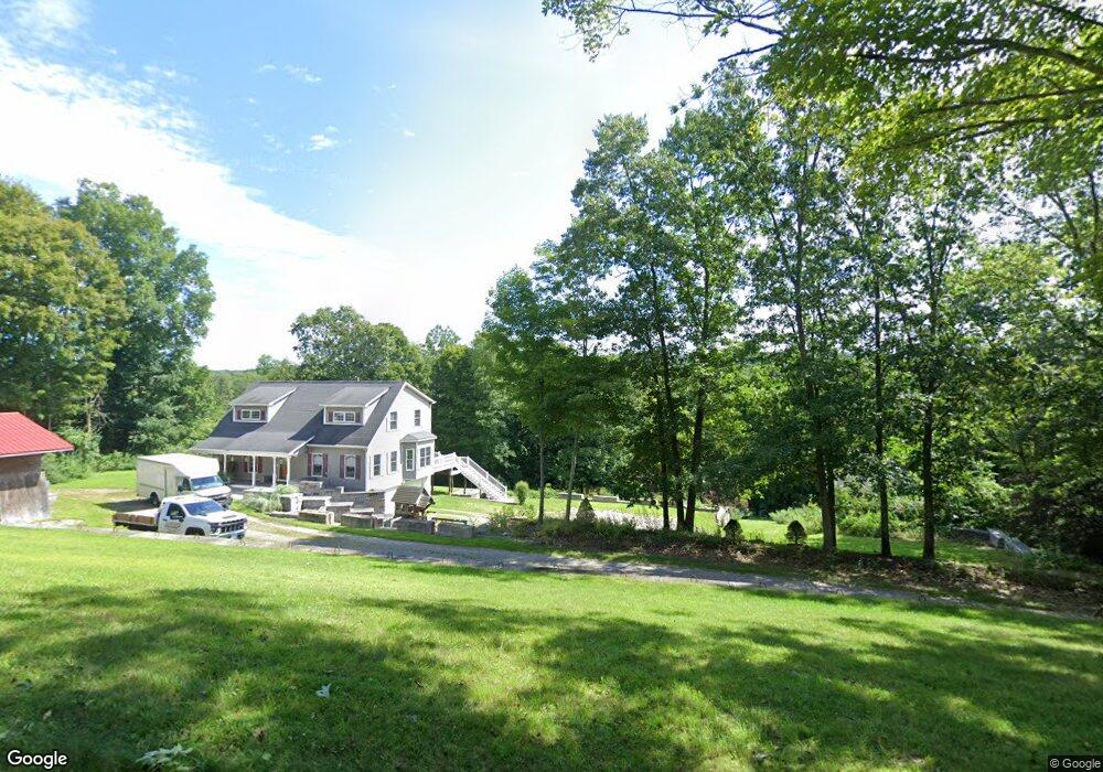
29 Stanton Rd Gilman, CT 06336
Estimated Value: $547,001 - $693,000
4
Beds
7
Baths
2,490
Sq Ft
$240/Sq Ft
Est. Value
About This Home
This home is located at 29 Stanton Rd, Gilman, CT 06336 and is currently estimated at $596,500, approximately $239 per square foot. 29 Stanton Rd is a home located in New London County with nearby schools including Fields Memorial School.
Ownership History
Date
Name
Owned For
Owner Type
Purchase Details
Closed on
May 13, 2008
Sold by
Baker Randall and Baker Christine
Bought by
Tainter Monte and Chabot Marie
Current Estimated Value
Home Financials for this Owner
Home Financials are based on the most recent Mortgage that was taken out on this home.
Original Mortgage
$406,682
Interest Rate
5.93%
Mortgage Type
VA
Purchase Details
Closed on
Oct 19, 2001
Sold by
Mark Wetherbee Llc
Bought by
Baker Randall and Baker Christine
Create a Home Valuation Report for This Property
The Home Valuation Report is an in-depth analysis detailing your home's value as well as a comparison with similar homes in the area
Home Values in the Area
Average Home Value in this Area
Purchase History
| Date | Buyer | Sale Price | Title Company |
|---|---|---|---|
| Tainter Monte | $399,900 | -- | |
| Baker Randall | $274,900 | -- |
Source: Public Records
Mortgage History
| Date | Status | Borrower | Loan Amount |
|---|---|---|---|
| Open | Baker Randall | $357,081 | |
| Closed | Baker Randall | $397,223 | |
| Closed | Baker Randall | $406,682 | |
| Previous Owner | Baker Randall | $177,000 |
Source: Public Records
Tax History
| Year | Tax Paid | Tax Assessment Tax Assessment Total Assessment is a certain percentage of the fair market value that is determined by local assessors to be the total taxable value of land and additions on the property. | Land | Improvement |
|---|---|---|---|---|
| 2025 | $6,047 | $257,320 | $50,050 | $207,270 |
| 2024 | $5,854 | $257,320 | $50,050 | $207,270 |
| 2023 | $5,790 | $257,320 | $50,050 | $207,270 |
| 2022 | $5,509 | $204,020 | $50,040 | $153,980 |
| 2021 | $5,509 | $204,020 | $50,040 | $153,980 |
| 2020 | $5,509 | $204,020 | $50,040 | $153,980 |
| 2019 | $5,611 | $204,020 | $50,040 | $153,980 |
| 2018 | $5,611 | $204,020 | $50,040 | $153,980 |
| 2014 | $6,261 | $234,070 | $54,840 | $179,230 |
Source: Public Records
Map
Nearby Homes
- 73 Blue Hill Rd
- 100 Kahn Rd
- 9 Schwartz Rd
- 243 Champion Rd
- 136 Norwich-Lebanon Rd
- 152 Lakeside Dr
- 0 Bozrah St Unit 24139896
- 145 Lakeside Dr
- 15 Wahconah Dr
- 169 Scott Hill Rd
- 76 Mahoney Rd
- 64 Whippoorwill Rd
- 9 Thompson Rd
- 80 Sashel Ln
- 344 Bozrah St
- 82 Sunnyside St
- 0 Myrtle Dr
- 461 Pond Rd
- 306 Chestnut Hill Rd
- 152 Stanavage Rd
Your Personal Tour Guide
Ask me questions while you tour the home.