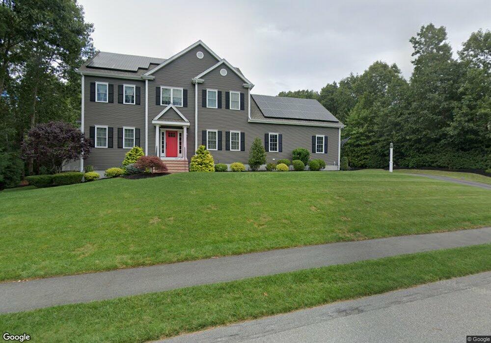
29 Summit Cir Wrentham, MA 02093
West Wrentham NeighborhoodEstimated Value: $1,137,000 - $1,306,000
About This Home
This home is located at 29 Summit Cir, Wrentham, MA 02093 and is currently estimated at $1,222,144, approximately $368 per square foot. 29 Summit Cir is a home with nearby schools including Delaney Elementary School, Charles E Roderick, and Mercymount Country Day School.
Ownership History
We collect this data history from publicly available records. To have your information removed, we recommend requesting removal directly through your county’s website.
Purchase Details
Home Financials for this Owner
Home Financials are based on the most recent Mortgage that was taken out on this home.Purchase Details
Home Values in the Area
Average Home Value in this Area
Purchase History
We collect this data history from publicly available records. To have your information removed, we recommend requesting removal directly through your county’s website.
| Date | Buyer | Sale Price | Title Company |
|---|---|---|---|
| $820,000 | -- | ||
| -- | -- | ||
| -- | -- |
Mortgage History
We collect this data history from publicly available records. To have your information removed, we recommend requesting removal directly through your county’s website.
| Date | Status | Borrower | Loan Amount |
|---|---|---|---|
| Open | $475,000 |
Tax History
We collect this data history from publicly available records. To have your information removed, we recommend requesting removal directly through your county’s website.
| Year | Tax Paid | Tax Assessment Tax Assessment Total Assessment is a certain percentage of the fair market value that is determined by local assessors to be the total taxable value of land and additions on the property. | Land | Improvement |
|---|---|---|---|---|
| 2025 | $12,484 | $1,077,100 | $326,800 | $750,300 |
| 2024 | $11,821 | $985,100 | $326,800 | $658,300 |
| 2023 | $11,854 | $939,300 | $297,200 | $642,100 |
| 2022 | $11,271 | $824,500 | $270,300 | $554,200 |
| 2021 | $10,991 | $781,200 | $270,300 | $510,900 |
| 2020 | $11,186 | $785,000 | $238,100 | $546,900 |
| 2019 | $10,741 | $760,700 | $238,100 | $522,600 |
| 2018 | $11,223 | $788,100 | $301,700 | $486,400 |
| 2017 | $10,948 | $768,300 | $295,900 | $472,400 |
| 2016 | $7,801 | $546,300 | $287,300 | $259,000 |
| 2015 | $2,069 | $138,100 | $138,100 | $0 |
| 2014 | $2,140 | $139,800 | $139,800 | $0 |
Map
- 15 Oakhill Ave
- 15 Ridge Rd
- 31 Cassandra Ave Unit 31
- 900 Washington St Lot 2
- 25 Palmetto Dr Unit 25
- 21 Palmetto Dr Unit 21
- 74 Whipple Brook Rd
- 1250 Pulaski Blvd
- 50 Farm Hill Rd
- 39 Opal Cir
- 238 Lake St
- 273 Lake St
- 871 Washington St
- 12 Priscilla Ave
- 6 Nicholas Dr
- 30 Pine Warbler Way
- 83 Jefferson Rd
- 241 Prospect St
- 39 Jackson Cir
- 365 W Wrentham Rd
Ask me questions while you tour the home.