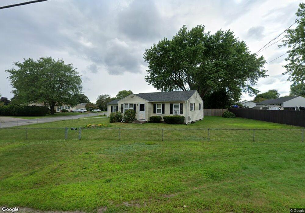
290 Bound Rd Woonsocket, RI 02895
East Woonsocket NeighborhoodEstimated Value: $359,000 - $405,000
About This Home
This home is located at 290 Bound Rd, Woonsocket, RI 02895 and is currently estimated at $380,594, approximately $424 per square foot. 290 Bound Rd is a home located in Providence County with nearby schools including Woonsocket High School, Blackstone Valley Prep High School, and Mercymount Country Day School.
Ownership History
We collect this data history from publicly available records. To have your information removed, we recommend requesting removal directly through your county’s website.
Purchase Details
Purchase Details
Home Values in the Area
Average Home Value in this Area
Purchase History
We collect this data history from publicly available records. To have your information removed, we recommend requesting removal directly through your county’s website.
| Date | Buyer | Sale Price | Title Company |
|---|---|---|---|
| -- | -- | ||
| -- | -- |
Mortgage History
We collect this data history from publicly available records. To have your information removed, we recommend requesting removal directly through your county’s website.
| Date | Status | Borrower | Loan Amount |
|---|---|---|---|
| Closed | $50,000 | ||
| Closed | $47,000 | ||
| Previous Owner | $45,000 | ||
| Previous Owner | $18,500 |
Tax History
We collect this data history from publicly available records. To have your information removed, we recommend requesting removal directly through your county’s website.
| Year | Tax Paid | Tax Assessment Tax Assessment Total Assessment is a certain percentage of the fair market value that is determined by local assessors to be the total taxable value of land and additions on the property. | Land | Improvement |
|---|---|---|---|---|
| 2025 | $3,787 | $337,200 | $108,000 | $229,200 |
| 2024 | $3,354 | $230,700 | $88,100 | $142,600 |
| 2023 | $3,225 | $230,700 | $88,100 | $142,600 |
| 2022 | $3,225 | $230,700 | $88,100 | $142,600 |
| 2021 | $3,772 | $158,800 | $74,900 | $83,900 |
| 2020 | $3,811 | $158,800 | $74,900 | $83,900 |
| 2018 | $3,824 | $158,800 | $74,900 | $83,900 |
| 2017 | $4,226 | $140,400 | $65,400 | $75,000 |
| 2016 | $4,470 | $140,400 | $65,400 | $75,000 |
| 2015 | $5,136 | $140,400 | $65,400 | $75,000 |
| 2014 | $5,096 | $141,800 | $72,000 | $69,800 |
Map
- 2320 Diamond Hill Rd
- 703 Brookhaven Ln
- 178 Halsey Rd
- 417 Elder Ballou Meeting House Rd
- 4 Carnation St
- 157 Tara Ln
- 203 Tara Ln
- 365 W Wrentham Rd
- 48 Madeleine Ave
- 74 Macarthur Rd
- 250 W Wrentham Rd
- 5 Squire Ln
- 251 Madeleine Ave
- 74 Whipple Brook Rd
- 180 Pine Swamp Rd
- 165 Pine Swamp Rd
- 172 Pine Swamp Rd
- 25 Palmetto Dr Unit 25
- 21 Palmetto Dr Unit 21
- 11 Bourassa Ave
Ask me questions while you tour the home.