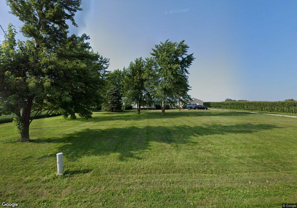
290 E Cr 1350n Atwood, IL 61913
Estimated Value: $168,000 - $227,358
3
Beds
2
Baths
1,664
Sq Ft
$116/Sq Ft
Est. Value
About This Home
This home is located at 290 E Cr 1350n, Atwood, IL 61913 and is currently estimated at $192,340, approximately $115 per square foot. 290 E Cr 1350n is a home with nearby schools including Atwood-Hammond Grade School.
Ownership History
Date
Name
Owned For
Owner Type
Purchase Details
Closed on
Jul 25, 2013
Current Estimated Value
Create a Home Valuation Report for This Property
The Home Valuation Report is an in-depth analysis detailing your home's value as well as a comparison with similar homes in the area
Purchase History
| Date | Buyer | Sale Price | Title Company |
|---|---|---|---|
| -- | $75,000 | -- |
Source: Public Records
Tax History
| Year | Tax Paid | Tax Assessment Tax Assessment Total Assessment is a certain percentage of the fair market value that is determined by local assessors to be the total taxable value of land and additions on the property. | Land | Improvement |
|---|---|---|---|---|
| 2024 | $3,480 | $50,796 | $7,215 | $43,581 |
| 2023 | $3,258 | $45,614 | $6,479 | $39,135 |
| 2022 | $3,234 | $44,900 | $5,788 | $39,112 |
| 2021 | $3,135 | $42,803 | $5,518 | $37,285 |
| 2020 | $2,617 | $41,881 | $5,399 | $36,482 |
| 2019 | $2,629 | $41,881 | $5,399 | $36,482 |
| 2018 | $2,168 | $34,083 | $5,894 | $28,189 |
| 2015 | $1,634 | $27,994 | $5,399 | $22,595 |
| 2014 | $1,634 | $30,190 | $5,399 | $24,791 |
| 2013 | $2,120 | $25,146 | $5,419 | $19,727 |
| 2012 | $2,120 | $27,062 | $5,832 | $21,230 |
Source: Public Records
Map
Nearby Homes
- 1500 N Cr 150e
- 466 County Road 100 N
- 209 W South St
- 86 County Road 575 E
- 000 N Illinois
- 330 E Central Ave
- 503 N Missouri St
- 319 N Missouri St
- 212 S Illinois St
- 215 S Missouri St
- 217 S Missouri St
- 3 Royal Ct
- 5 Royal Ct
- 2 Royal Ct
- 4 Royal Ct
- 39 US Highway 36
- 39 U S 36
- 1233 E 100 Rd N
- 1227 E 100 North Rd
- 808 Lakeshore Dr
Your Personal Tour Guide
Ask me questions while you tour the home.