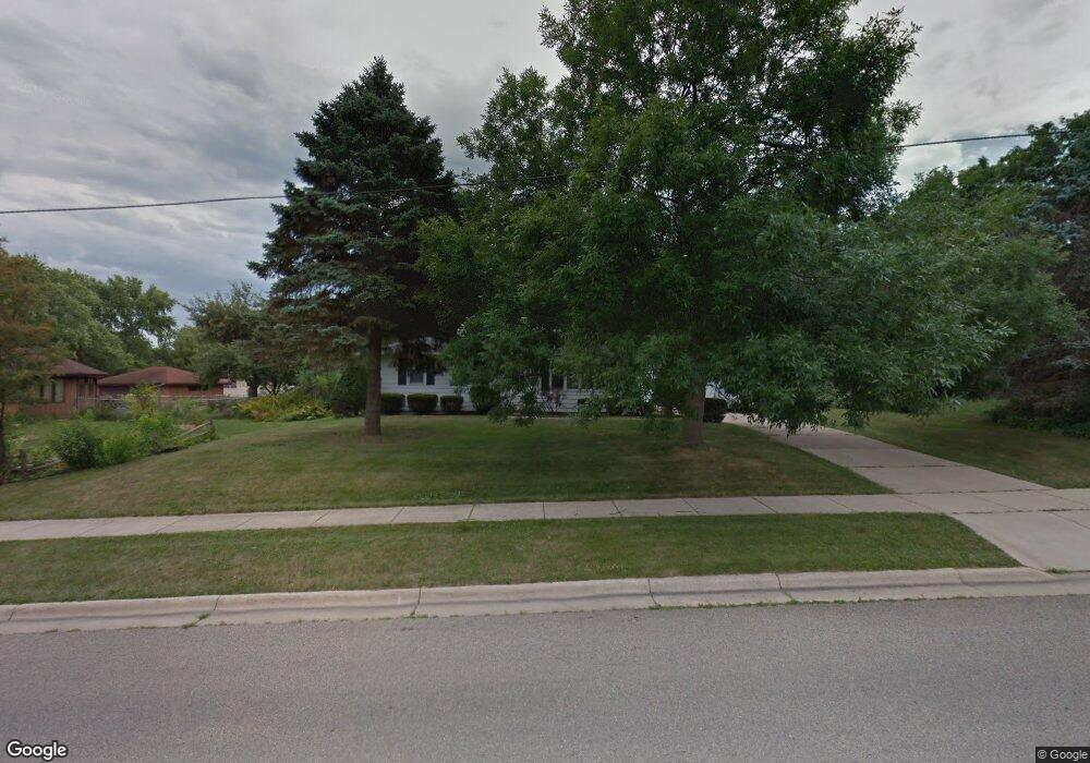
290 Kierstead Ln Oregon, WI 53575
Oregon AreaEstimated Value: $337,000 - $375,000
About This Home
This home is located at 290 Kierstead Ln, Oregon, WI 53575 and is currently estimated at $357,996, approximately $344 per square foot. 290 Kierstead Ln is a home located in Dane County with nearby schools including Rome Corners Intermediate School, Oregon Middle School, and Oregon High School.
Ownership History
We collect this data history from publicly available records. To have your information removed, we recommend requesting removal directly through your county’s website.
Purchase Details
Home Financials for this Owner
Home Financials are based on the most recent Mortgage that was taken out on this home.Home Values in the Area
Average Home Value in this Area
Purchase History
We collect this data history from publicly available records. To have your information removed, we recommend requesting removal directly through your county’s website.
| Date | Buyer | Sale Price | Title Company |
|---|---|---|---|
| $167,000 | None Available |
Mortgage History
We collect this data history from publicly available records. To have your information removed, we recommend requesting removal directly through your county’s website.
| Date | Status | Borrower | Loan Amount |
|---|---|---|---|
| Open | $131,000 | ||
| Closed | $144,800 | ||
| Closed | $19,500 | ||
| Closed | $138,000 | ||
| Closed | $10,000 | ||
| Closed | $161,500 |
Tax History
We collect this data history from publicly available records. To have your information removed, we recommend requesting removal directly through your county’s website.
| Year | Tax Paid | Tax Assessment Tax Assessment Total Assessment is a certain percentage of the fair market value that is determined by local assessors to be the total taxable value of land and additions on the property. | Land | Improvement |
|---|---|---|---|---|
| 2025 | $5,813 | $353,400 | $58,200 | $295,200 |
| 2023 | $4,362 | $285,500 | $54,600 | $230,900 |
| 2022 | $4,254 | $260,700 | $54,600 | $206,100 |
| 2021 | $3,855 | $232,200 | $54,600 | $177,600 |
| 2020 | $3,696 | $212,300 | $54,600 | $157,700 |
| 2019 | $3,520 | $203,900 | $54,600 | $149,300 |
| 2018 | $3,412 | $193,600 | $54,600 | $139,000 |
| 2017 | $3,392 | $185,800 | $54,600 | $131,200 |
| 2016 | $3,199 | $171,400 | $54,600 | $116,800 |
| 2015 | $3,095 | $163,600 | $54,600 | $109,000 |
| 2014 | -- | $157,100 | $54,600 | $102,500 |
| 2013 | $3,062 | $151,400 | $54,600 | $96,800 |
Map
- 507 Janesville St
- 494 Cledell St Unit 4
- 498 Cledell St Unit 2
- 224 S Main St
- 270 Brook St
- 855 Clover Ln
- 800 Clover Ln
- 489 Cherry Wood Dr
- 965 Park St Unit 101
- 608 S Burr Oak Ave
- 933 Park St Unit 101
- 760 Scott St
- 423 Butternut Dr
- 285 Walnut St
- 310 Ash St
- 326 Prairie View St
- 135 Johnson St
- 361 Concord Dr Unit 6
- 357 Concord Dr
- 358 Concord Dr
- 280 Kierstead Ln
- 552 Janesville St
- 270 Kierstead Ln
- 355 Sterling Dr
- 349 Sterling Dr
- 592 Janesville St
- 313 Sterling Dr
- 293 Kierstead Ln
- 260 Kierstead Ln
- 305 Sterling Dr
- 600 Janesville St
- 259 Kierstead Ln
- 524 Janesville St
- 283 Sterling Dr
- 250 Kierstead Ln
- 365 Sterling Dr
- 561 Janesville St
- 535 Janesville St
- 249 Kierstead Ln
- 575 Janesville St
Ask me questions while you tour the home.