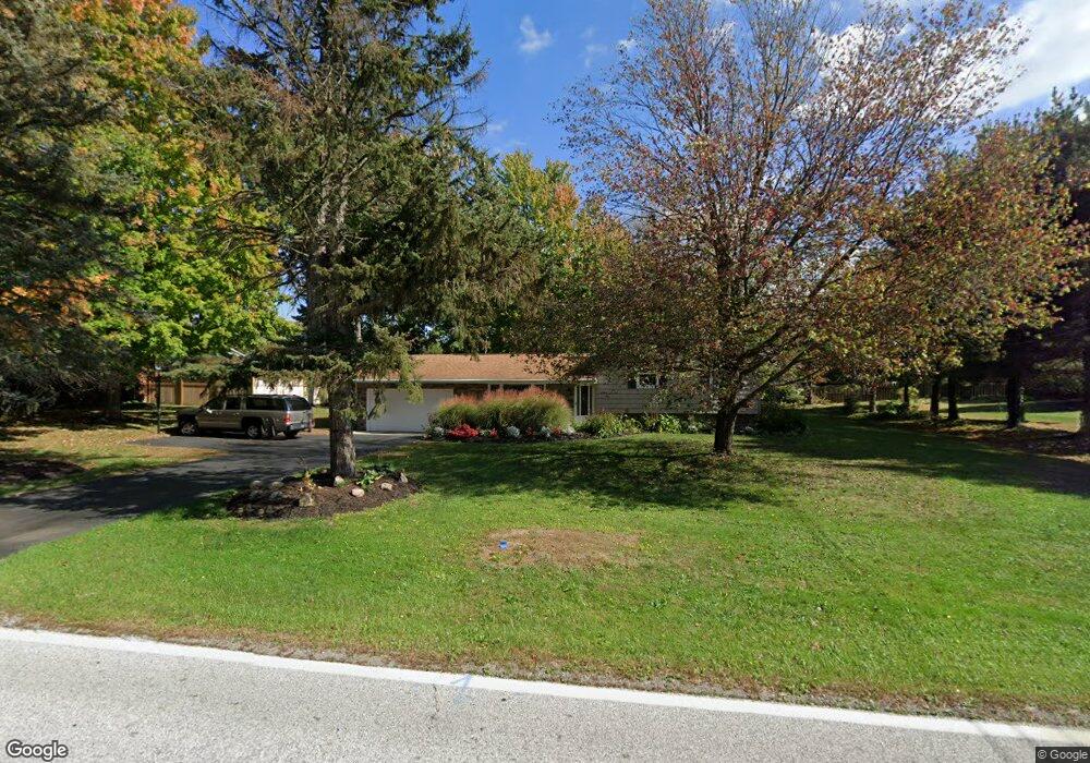
290 Mill Morr Dr Painesville, OH 44077
Estimated Value: $230,342 - $283,000
3
Beds
2
Baths
1,152
Sq Ft
$223/Sq Ft
Est. Value
About This Home
This home is located at 290 Mill Morr Dr, Painesville, OH 44077 and is currently estimated at $256,836, approximately $222 per square foot. 290 Mill Morr Dr is a home located in Lake County with nearby schools including Henry F. Lamuth Middle School, Riverside Junior/Senior High School, and St Gabriel School.
Ownership History
Date
Name
Owned For
Owner Type
Purchase Details
Closed on
Jun 23, 1994
Sold by
Bystranowski Henry E
Bought by
Burke Darren W and Burke Tracy A
Current Estimated Value
Home Financials for this Owner
Home Financials are based on the most recent Mortgage that was taken out on this home.
Original Mortgage
$89,600
Interest Rate
8.78%
Mortgage Type
New Conventional
Create a Home Valuation Report for This Property
The Home Valuation Report is an in-depth analysis detailing your home's value as well as a comparison with similar homes in the area
Home Values in the Area
Average Home Value in this Area
Purchase History
| Date | Buyer | Sale Price | Title Company |
|---|---|---|---|
| Burke Darren W | $112,000 | -- |
Source: Public Records
Mortgage History
| Date | Status | Borrower | Loan Amount |
|---|---|---|---|
| Closed | Burke Darren W | $89,600 |
Source: Public Records
Tax History
| Year | Tax Paid | Tax Assessment Tax Assessment Total Assessment is a certain percentage of the fair market value that is determined by local assessors to be the total taxable value of land and additions on the property. | Land | Improvement |
|---|---|---|---|---|
| 2025 | -- | $71,320 | $22,330 | $48,990 |
| 2024 | -- | $71,320 | $22,330 | $48,990 |
| 2023 | $5,864 | $53,810 | $19,400 | $34,410 |
| 2022 | $3,451 | $53,810 | $19,400 | $34,410 |
| 2021 | $3,169 | $53,810 | $19,400 | $34,410 |
| 2020 | $2,874 | $43,040 | $15,520 | $27,520 |
| 2019 | $2,896 | $43,040 | $15,520 | $27,520 |
| 2018 | $2,905 | $47,920 | $19,670 | $28,250 |
| 2017 | $3,325 | $47,920 | $19,670 | $28,250 |
| 2016 | $2,928 | $47,920 | $19,670 | $28,250 |
| 2015 | $2,743 | $47,920 | $19,670 | $28,250 |
| 2014 | $2,788 | $47,920 | $19,670 | $28,250 |
| 2013 | $2,725 | $47,920 | $19,670 | $28,250 |
Source: Public Records
Map
Nearby Homes
- 9602 Lasalle Ln
- 1990 Boxwood Trail
- 2014 S Ashwood Ln
- 1997 Spruce Ln
- 1936 Mentor Ave
- 1001 the Capes Blvd
- 519 N Ashwood Ln
- 113 Palm Ct
- 9605 Lismore Ln Unit 9605
- 154 Nantucket Cir
- 1651 Mentor Ave Unit 1406
- 1651 Mentor Ave Unit 2605
- 1651 Mentor Ave Unit 212
- 6645 Harborside Landing
- 9461 Whalers Cove
- 1731 Poplar Ln
- 133 Hampshire Cove Unit 133
- 28 Wellesly Blvd
- 190 Normandy Dr
- 6750 Rockport Ln
- 295 Mill Morr Rd
- 300 Mill Morr Dr
- 280 Mill Morr Dr
- 62 Prentice Rd
- 70 Prentice Rd
- 56 Prentice Rd
- 78 Prentice Rd
- 285 Mill Morr Dr
- 48 Prentice Rd
- 270 Mill Morr Dr
- 275 Mill Morr Dr
- 310 Mill Morr Dr
- 40 Prentice Rd
- 84 Prentice Rd
- 265 Mill Morr Rd
- 265 Mill Morr Dr
- 260 Mill Morr Dr
- 32 Prentice Rd
- 61 Prentice Rd
- 69 Prentice Rd
Your Personal Tour Guide
Ask me questions while you tour the home.