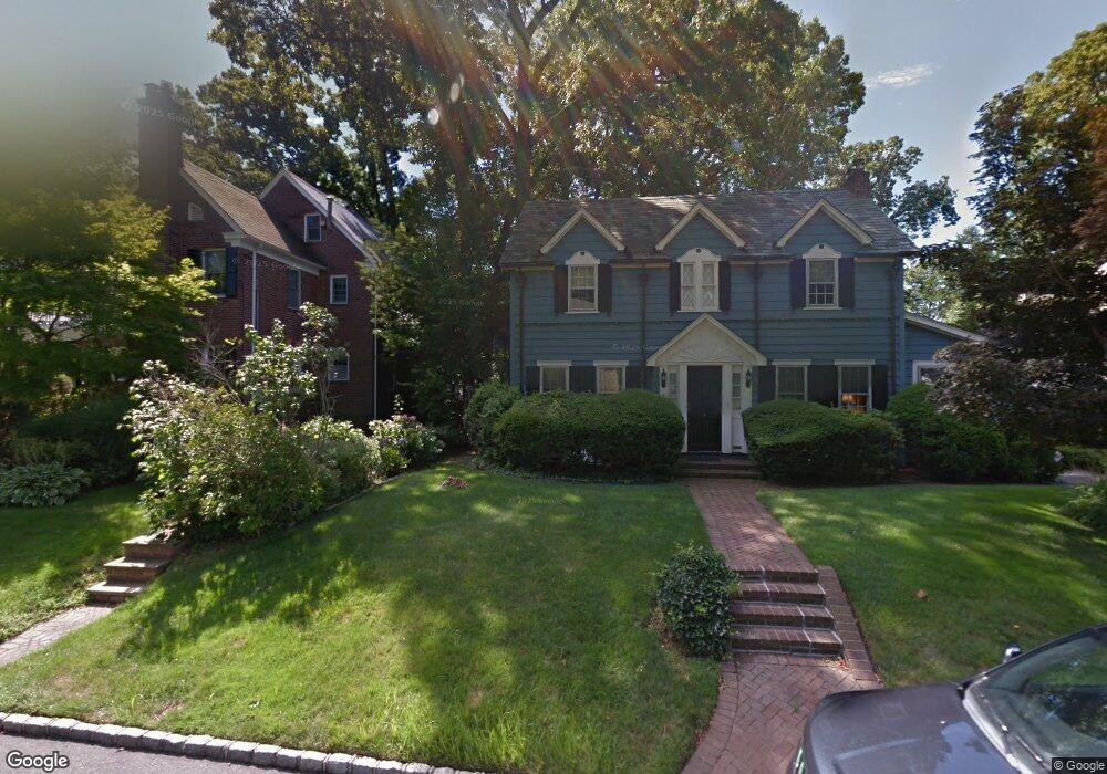
290 Ryder Rd Manhasset, NY 11030
Estimated Value: $1,704,579
Studio
3
Baths
2,188
Sq Ft
$779/Sq Ft
Est. Value
About This Home
This home is located at 290 Ryder Rd, Manhasset, NY 11030 and is currently estimated at $1,704,579, approximately $779 per square foot. 290 Ryder Rd is a home located in Nassau County with nearby schools including Manhasset Secondary School, St Mary's Elementary School, and Our Lady of Grace Montessori School.
Ownership History
Date
Name
Owned For
Owner Type
Purchase Details
Closed on
Dec 31, 2020
Sold by
Outten Wayne N and Outten Virginia C
Bought by
Keating Raymond and Keating Ingrid
Current Estimated Value
Home Financials for this Owner
Home Financials are based on the most recent Mortgage that was taken out on this home.
Original Mortgage
$1,010,945
Outstanding Balance
$902,272
Interest Rate
2.71%
Mortgage Type
New Conventional
Estimated Equity
$802,307
Create a Home Valuation Report for This Property
The Home Valuation Report is an in-depth analysis detailing your home's value as well as a comparison with similar homes in the area
Home Values in the Area
Average Home Value in this Area
Purchase History
| Date | Buyer | Sale Price | Title Company |
|---|---|---|---|
| Keating Raymond | $1,555,300 | First American Title |
Source: Public Records
Mortgage History
| Date | Status | Borrower | Loan Amount |
|---|---|---|---|
| Open | Keating Raymond | $1,010,945 |
Source: Public Records
Tax History
| Year | Tax Paid | Tax Assessment Tax Assessment Total Assessment is a certain percentage of the fair market value that is determined by local assessors to be the total taxable value of land and additions on the property. | Land | Improvement |
|---|---|---|---|---|
| 2025 | $17,554 | $1,279 | $724 | $555 |
| 2024 | $4,532 | $1,285 | $727 | $558 |
Source: Public Records
Map
Nearby Homes
- 106 Thayer Rd
- 53 Eakins Rd
- 182 Ryder Rd
- 107 Manhasset Woods Rd
- 350 Dogwood Ln
- 71 Beechwood Ave
- 34 Bridge Rd
- 151 Hillcrest Ave
- 167 Old Mill Rd
- 140 Remington Rd
- 90 Elderfields Rd
- 34 Longridge Rd
- 695 Hunt Ln
- 96 Quaker Ridge Rd
- 97 Vanderbilt Ave
- 15 Hilltop Dr
- 409 Abbey Rd
- 21 George St
- 191 Elderfields Rd
- 138 Payne Whitney Ln
Your Personal Tour Guide
Ask me questions while you tour the home.