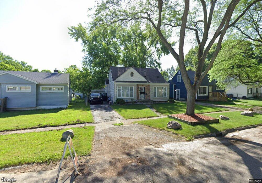
2901 Dearborn Ave Flint, MI 48507
Circle Neighborhood NeighborhoodEstimated Value: $82,119 - $115,000
3
Beds
1
Bath
1,044
Sq Ft
$90/Sq Ft
Est. Value
About This Home
This home is located at 2901 Dearborn Ave, Flint, MI 48507 and is currently estimated at $94,030, approximately $90 per square foot. 2901 Dearborn Ave is a home located in Genesee County with nearby schools including Freeman Elementary School, Flint Southwestern Classical Academy, and International Academy of Flint (K-12).
Ownership History
Date
Name
Owned For
Owner Type
Purchase Details
Closed on
Jul 21, 2011
Sold by
Federal Home Loan Mortgage Corporation
Bought by
Clark Sherry
Current Estimated Value
Purchase Details
Closed on
Nov 17, 2010
Sold by
Hagenson Preston and Wells Fargo Bank Na
Bought by
Federal Home Loan Mortgage Corporation
Create a Home Valuation Report for This Property
The Home Valuation Report is an in-depth analysis detailing your home's value as well as a comparison with similar homes in the area
Home Values in the Area
Average Home Value in this Area
Purchase History
| Date | Buyer | Sale Price | Title Company |
|---|---|---|---|
| Clark Sherry | $16,060 | Attorneys Title Agency Llc | |
| Federal Home Loan Mortgage Corporation | $80,369 | None Available |
Source: Public Records
Tax History
| Year | Tax Paid | Tax Assessment Tax Assessment Total Assessment is a certain percentage of the fair market value that is determined by local assessors to be the total taxable value of land and additions on the property. | Land | Improvement |
|---|---|---|---|---|
| 2025 | $1,187 | $40,400 | $0 | $0 |
| 2024 | $1,068 | $35,900 | $0 | $0 |
| 2023 | $1,045 | $28,300 | $0 | $0 |
| 2022 | $0 | $24,500 | $0 | $0 |
| 2021 | $1,091 | $23,600 | $0 | $0 |
| 2020 | $977 | $18,000 | $0 | $0 |
| 2019 | $948 | $14,700 | $0 | $0 |
| 2018 | $1,045 | $16,400 | $0 | $0 |
| 2017 | $1,013 | $0 | $0 | $0 |
| 2016 | $1,006 | $0 | $0 | $0 |
| 2015 | -- | $0 | $0 | $0 |
| 2014 | -- | $0 | $0 | $0 |
| 2012 | -- | $21,000 | $0 | $0 |
Source: Public Records
Map
Nearby Homes
- 2910 Shawnee Ave
- 3110 Menominee Ave
- 3009 Menominee Ave
- 3505 Comanche Ave
- 720 Algonquin Ave
- 3617 Circle Dr
- 2221 Howard Ave
- 630 Buckingham Ave
- 621 Burroughs Ave
- 2224 Crocker Ave
- 3222 Chambers St
- 2029 Winans Ave
- 366 E Atherton Rd
- 3218 Collingwood Pkwy
- 420 Burroughs Ave
- 1930 Owen St
- 3056 Shaw St
- 352 Buckingham Ave
- 213 E Lakeview Ave
- 4126 Circle Dr
- 2907 Dearborn St
- 2907 Dearborn Ave
- 2809 Dearborn Ave
- 2818 Comanche Ave
- 2913 Dearborn Ave
- 2902 Comanche Ave
- 2902 Dearborn Ave
- 2826 Comanche Ave
- 2919 Dearborn Ave
- 2908 Dearborn Ave
- 2810 Dearborn Ave
- 2817 Comanche Ave
- 2821 Comanche Ave
- 2802 Dearborn Ave
- 2813 Comanche Ave
- 2829 Comanche Ave
- 2825 Comanche Ave
- 2914 Dearborn Ave
- 3007 Dearborn Ave
- 2914 Comanche Ave
Your Personal Tour Guide
Ask me questions while you tour the home.