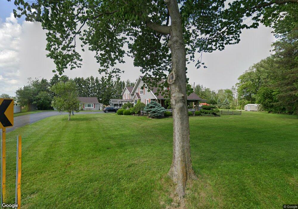
2902 E Cole Rd Fremont, OH 43420
Estimated Value: $237,000 - $296,551
3
Beds
2
Baths
1,897
Sq Ft
$144/Sq Ft
Est. Value
About This Home
This home is located at 2902 E Cole Rd, Fremont, OH 43420 and is currently estimated at $272,638, approximately $143 per square foot. 2902 E Cole Rd is a home located in Sandusky County with nearby schools including Clyde High School, Temple Christian Academy, and Sacred Heart School.
Ownership History
Date
Name
Owned For
Owner Type
Purchase Details
Closed on
Aug 30, 1994
Sold by
Binder Judith M
Bought by
Duskin Louis J and Fought Diane R
Current Estimated Value
Home Financials for this Owner
Home Financials are based on the most recent Mortgage that was taken out on this home.
Original Mortgage
$50,000
Interest Rate
8.72%
Mortgage Type
New Conventional
Purchase Details
Closed on
Nov 1, 1991
Bought by
Duskin Louis J and Fought Diane R
Create a Home Valuation Report for This Property
The Home Valuation Report is an in-depth analysis detailing your home's value as well as a comparison with similar homes in the area
Purchase History
| Date | Buyer | Sale Price | Title Company |
|---|---|---|---|
| Duskin Louis J | $65,000 | -- | |
| Duskin Louis J | -- | -- |
Source: Public Records
Mortgage History
| Date | Status | Borrower | Loan Amount |
|---|---|---|---|
| Closed | Duskin Louis J | $50,000 |
Source: Public Records
Tax History
| Year | Tax Paid | Tax Assessment Tax Assessment Total Assessment is a certain percentage of the fair market value that is determined by local assessors to be the total taxable value of land and additions on the property. | Land | Improvement |
|---|---|---|---|---|
| 2025 | $3,451 | $255,800 | $46,800 | $209,000 |
| 2024 | $3,451 | $87,400 | $16,380 | $71,020 |
| 2023 | $3,297 | $67,520 | $13,090 | $54,430 |
| 2022 | $2,784 | $67,520 | $13,090 | $54,430 |
| 2021 | $2,814 | $67,520 | $13,090 | $54,430 |
| 2020 | $2,422 | $56,110 | $13,090 | $43,020 |
| 2019 | $2,394 | $56,110 | $13,090 | $43,020 |
| 2018 | $2,393 | $56,110 | $13,090 | $43,020 |
| 2017 | $2,256 | $51,490 | $13,090 | $38,400 |
| 2016 | $2,222 | $51,490 | $13,090 | $38,400 |
| 2015 | $2,196 | $51,490 | $13,090 | $38,400 |
| 2014 | $2,211 | $49,360 | $12,570 | $36,790 |
| 2013 | $2,401 | $49,360 | $12,570 | $36,790 |
Source: Public Records
Map
Nearby Homes
- 1830 County Road 213 Unit 18
- 2314 E Sr 20
- 1106 Timpe Rd
- 0 E State St Unit 20260933
- 0 E State St Unit 20260876
- 2112 Pinehurst Trail
- 2690 County Road 213
- 102 Cottage Grove Dr
- 411 S Collinwood Blvd
- 925 Woodland St
- 123 N Prospect St
- 101 Nathan Dr
- 31
- 1250 Morrison Rd
- 322 4th St
- 23
- 1009 N 5th St
- 746 S Front St
- 748 S Front St
- 208 E State St
- 2895 E Cole Rd
- 2970 E Cole Rd
- 2891 E Cole Rd
- 2980 E Cole Rd
- 2980 E Cole Rd
- 894 S State Route 19
- 3088 E Cole Rd
- 849 S State Route 19
- 2750 E Cole Rd
- 990 S State Route 19
- 2738 E Cole Rd
- 2690 E Cole Rd
- 748 Ohio 19
- 748 S State Route 19
- 2674 E Cole Rd
- 714 S State Route 19
- 2003 S County Road 198
- 2650 E Cole Rd
- 706 Ohio 19
- 706 S State Route 19
Your Personal Tour Guide
Ask me questions while you tour the home.