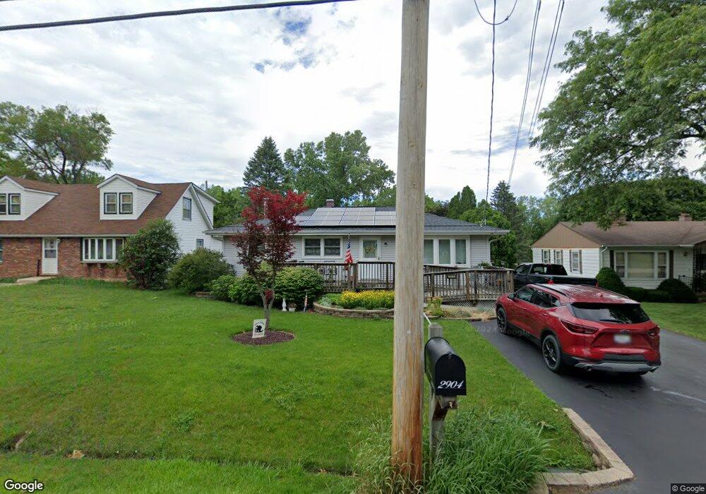
2904 11th St Winthrop Harbor, IL 60096
Shore Acres NeighborhoodEstimated Value: $247,000 - $280,000
3
Beds
2
Baths
1,176
Sq Ft
$224/Sq Ft
Est. Value
About This Home
This home is located at 2904 11th St, Winthrop Harbor, IL 60096 and is currently estimated at $263,065, approximately $223 per square foot. 2904 11th St is a home located in Lake County with nearby schools including Westfield School, North Prairie Junior High School, and Zion-Benton Township High School.
Ownership History
Date
Name
Owned For
Owner Type
Purchase Details
Closed on
Nov 20, 2024
Sold by
Jennings Sandra
Bought by
Sandra M Jennings Living Trust and Jennings
Current Estimated Value
Purchase Details
Closed on
Nov 8, 2024
Sold by
Patterson Judith A
Bought by
Judith A Patterson Living Trust and Patterson
Purchase Details
Closed on
Nov 18, 2003
Sold by
Patterson John G and Patterson Judith A
Bought by
Patterson John G and Patterson Judith A
Create a Home Valuation Report for This Property
The Home Valuation Report is an in-depth analysis detailing your home's value as well as a comparison with similar homes in the area
Home Values in the Area
Average Home Value in this Area
Purchase History
| Date | Buyer | Sale Price | Title Company |
|---|---|---|---|
| Sandra M Jennings Living Trust | -- | None Listed On Document | |
| Judith A Patterson Living Trust | -- | None Listed On Document | |
| Patterson John G | -- | -- |
Source: Public Records
Tax History
| Year | Tax Paid | Tax Assessment Tax Assessment Total Assessment is a certain percentage of the fair market value that is determined by local assessors to be the total taxable value of land and additions on the property. | Land | Improvement |
|---|---|---|---|---|
| 2024 | -- | $67,353 | $8,184 | $59,169 |
| 2023 | -- | $58,728 | $7,900 | $50,828 |
| 2022 | $0 | $55,892 | $7,722 | $48,170 |
| 2021 | $0 | $51,814 | $7,526 | $44,288 |
| 2020 | $0 | $49,446 | $7,182 | $42,264 |
| 2019 | $0 | $46,913 | $6,814 | $40,099 |
| 2018 | $0 | $50,702 | $8,167 | $42,535 |
| 2017 | $0 | $47,697 | $7,683 | $40,014 |
| 2016 | $0 | $45,408 | $7,314 | $38,094 |
| 2015 | $0 | $41,644 | $6,708 | $34,936 |
| 2014 | $2,650 | $35,058 | $3,814 | $31,244 |
| 2012 | $3,266 | $36,431 | $3,963 | $32,468 |
Source: Public Records
Map
Nearby Homes
- 0 13th St Unit MRD12569828
- 3106 13th St
- 907 E Broadway Ave Unit E
- 0 14th St Unit MRD12620767
- 802 Kirkwood Ave
- 514 Judith Ct
- 535 Thompson Ave
- 1400 Sheridan Rd
- 1808 13th St
- 1134 Franklin Ave
- 1715 14th St
- 630 Whitney Ave
- 0 Sheridan Rd Unit MRD12548005
- 0 Garnett Ave
- 1714 Hebron Ave
- 1405 Lewis Ave
- 42162 N Fossland Ave
- 1430 Park Ave
- 338 College Ave
- 9867 W 17th St
Your Personal Tour Guide
Ask me questions while you tour the home.