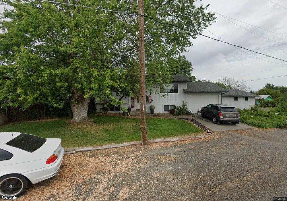
2904 20th St Clarkston, WA 99403
Estimated Value: $334,531 - $422,000
Studio
--
Bath
1,002
Sq Ft
$371/Sq Ft
Est. Value
About This Home
This home is located at 2904 20th St, Clarkston, WA 99403 and is currently estimated at $371,883, approximately $371 per square foot. 2904 20th St is a home located in Asotin County with nearby schools including Heights Elementary School, Lincoln Middle School, and Charles Francis Adams High School.
Ownership History
Date
Name
Owned For
Owner Type
Purchase Details
Closed on
Jan 23, 2025
Sold by
Hayes David A and Hayes Kathy
Bought by
Woods Richard A and Woods Tina D
Current Estimated Value
Create a Home Valuation Report for This Property
The Home Valuation Report is an in-depth analysis detailing your home's value as well as a comparison with similar homes in the area
Home Values in the Area
Average Home Value in this Area
Purchase History
| Date | Buyer | Sale Price | Title Company |
|---|---|---|---|
| Woods Richard A | $194,377 | None Listed On Document |
Source: Public Records
Tax History
| Year | Tax Paid | Tax Assessment Tax Assessment Total Assessment is a certain percentage of the fair market value that is determined by local assessors to be the total taxable value of land and additions on the property. | Land | Improvement |
|---|---|---|---|---|
| 2025 | $1,583 | $329,600 | $45,000 | $284,600 |
| 2023 | $1,583 | $151,400 | $30,000 | $121,400 |
| 2022 | $1,671 | $151,400 | $30,000 | $121,400 |
| 2021 | $1,720 | $151,400 | $30,000 | $121,400 |
| 2020 | $1,596 | $151,400 | $30,000 | $121,400 |
| 2019 | $1,501 | $144,600 | $30,000 | $114,600 |
| 2018 | $1,763 | $144,600 | $30,000 | $114,600 |
| 2017 | $1,613 | $144,600 | $30,000 | $114,600 |
| 2016 | $1,613 | $144,600 | $30,000 | $114,600 |
| 2015 | $162 | $140,200 | $30,000 | $110,200 |
| 2013 | $1,631 | $137,000 | $30,000 | $107,000 |
Source: Public Records
Map
Nearby Homes
- 2015 6th Ave Unit 131A
- 2015 6th Ave Unit 313
- 2015 6th Ave Unit 321
- 2015 6th Ave
- 2015 6th Ave Unit 14
- 2115 6th Ave Unit 7
- 2115 6th Ave Unit 51
- 3181 Hallgren Dr
- 2604 23rd St
- 1693 Bennett Hill Dr Unit 17
- 1690 Bennett Hill Dr Unit 8
- 1686 Bennett Hill Dr Unit 7
- 1686 Bennett Hill Dr
- 1685 Bennett Hill Dr Unit 19
- 1682 Bennett Hill Dr
- 1682 Bennett Hill Dr Unit 6
- 3435 Chukar Ln
- 1673 Bennett Hill Dr Unit 20
- 1673 Bennett Hill Dr
- 1668 Bennett Hill Dr
Your Personal Tour Guide
Ask me questions while you tour the home.