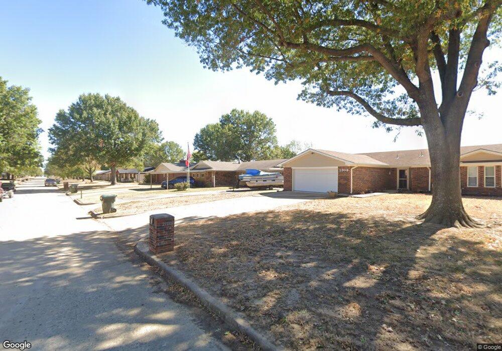
2907 Haddock Dr Muskogee, OK 74401
Hilldale NeighborhoodEstimated Value: $138,000 - $192,000
3
Beds
2
Baths
1,864
Sq Ft
$90/Sq Ft
Est. Value
About This Home
This home is located at 2907 Haddock Dr, Muskogee, OK 74401 and is currently estimated at $166,852, approximately $89 per square foot. 2907 Haddock Dr is a home located in Muskogee County with nearby schools including Hilldale Lower Elementary School, Hilldale Upper Elementary School, and Hilldale Middle School.
Ownership History
Date
Name
Owned For
Owner Type
Purchase Details
Closed on
Nov 3, 2021
Sold by
Mann and Diana
Bought by
Mann David and Mann Diana
Current Estimated Value
Home Financials for this Owner
Home Financials are based on the most recent Mortgage that was taken out on this home.
Original Mortgage
$60,000
Interest Rate
2.88%
Mortgage Type
New Conventional
Purchase Details
Closed on
Apr 30, 1998
Bought by
Lowery Bill and Lowery Margarette
Purchase Details
Closed on
Jul 7, 1994
Create a Home Valuation Report for This Property
The Home Valuation Report is an in-depth analysis detailing your home's value as well as a comparison with similar homes in the area
Home Values in the Area
Average Home Value in this Area
Purchase History
| Date | Buyer | Sale Price | Title Company |
|---|---|---|---|
| Mann David | -- | None Listed On Document | |
| Mann David | $100,000 | Pioneer Abstract & Ttl Co Of | |
| Lowery Bill | $59,500 | -- | |
| -- | -- | -- |
Source: Public Records
Mortgage History
| Date | Status | Borrower | Loan Amount |
|---|---|---|---|
| Previous Owner | Mann David | $60,000 |
Source: Public Records
Tax History
| Year | Tax Paid | Tax Assessment Tax Assessment Total Assessment is a certain percentage of the fair market value that is determined by local assessors to be the total taxable value of land and additions on the property. | Land | Improvement |
|---|---|---|---|---|
| 2025 | $1,351 | $11,551 | $835 | $10,716 |
| 2024 | $1,223 | $11,551 | $835 | $10,716 |
| 2023 | $1,223 | $11,000 | $749 | $10,251 |
| 2022 | $1,158 | $11,000 | $749 | $10,251 |
| 2021 | $819 | $7,501 | $625 | $6,876 |
| 2020 | $563 | $7,143 | $595 | $6,548 |
| 2019 | $556 | $12,242 | $1,020 | $11,222 |
| 2018 | $562 | $12,242 | $1,020 | $11,222 |
| 2017 | $469 | $7,011 | $816 | $6,195 |
| 2016 | $457 | $7,011 | $816 | $6,195 |
| 2015 | $445 | $7,011 | $816 | $6,195 |
| 2014 | $446 | $7,011 | $816 | $6,195 |
Source: Public Records
Map
Nearby Homes
- 2702 S 27th St
- 2804 S 26th St
- 2602 S 27th St
- 2529 S 28th Place
- 2831 S 24th St W
- 2301 S 40th St W
- 4200 S 30th St W
- 107 W Cherokee Ln
- 4209 Eaglecrest Dr
- 4001 Eaglecrest Dr
- 4006 Eaglecrest Dr
- 615 Marietta St
- 0 W Hancock St Unit 16398614
- 0 W Hancock St Unit 2544790
- 610 Marietta St
- 4210 Eaglecrest Dr
- 1803 Crestview Ave
- 1709 Crestview Ave
- 1234 S 31st St
- 1214 S 23rd St
- 2905 Haddock Dr
- 2903 Haddock Dr
- 3001 Haddock Dr
- 2908 Haddock Dr
- 2906 Haddock Dr
- 2904 Haddock Dr
- 2901 Haddock Dr
- 2902 Haddock Dr
- 3003 Haddock Dr
- 3000 Haddock Dr
- 2809 Haddock Dr
- 2900 Haddock Dr
- 2808 Haddock Dr
- 3002 Haddock Dr
- 3005 Haddock Dr
- 3004 Haddock Dr
- 2807 Haddock Dr
- 3006 Haddock Dr
- 2806 Haddock Dr
- 2805 Haddock Dr
Your Personal Tour Guide
Ask me questions while you tour the home.