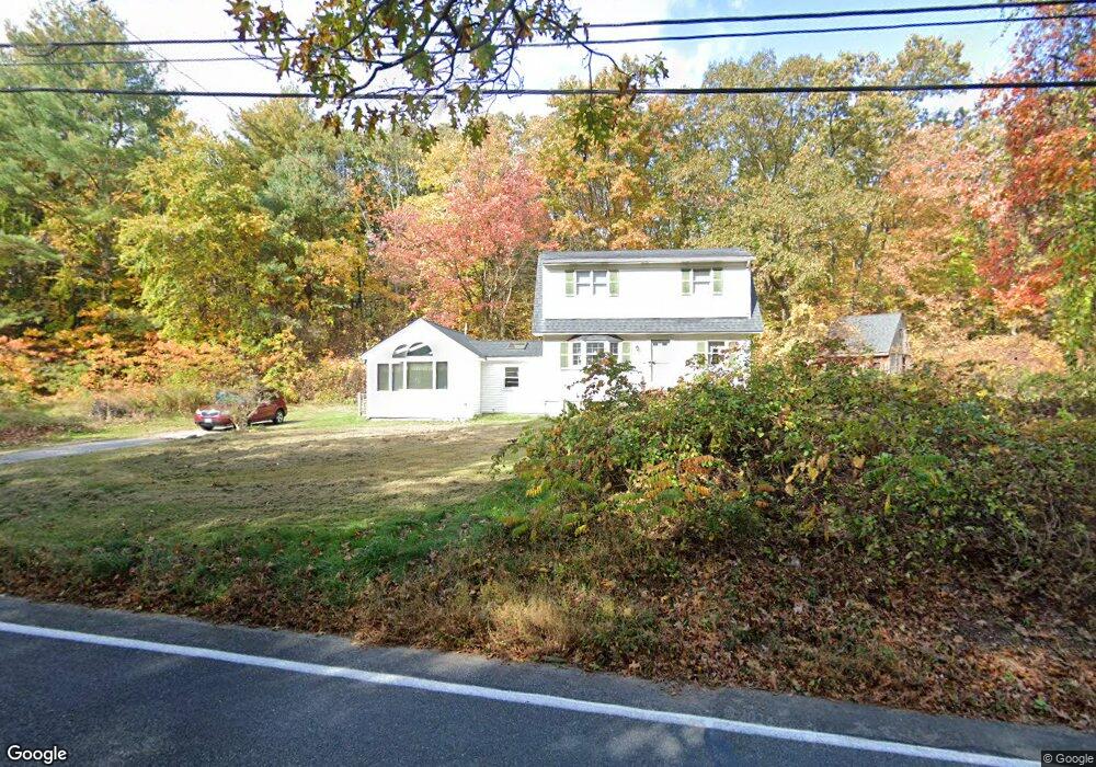
291 Aldrich St Uxbridge, MA 01569
Estimated Value: $468,730 - $607,000
3
Beds
2
Baths
1,729
Sq Ft
$297/Sq Ft
Est. Value
About This Home
This home is located at 291 Aldrich St, Uxbridge, MA 01569 and is currently estimated at $512,933, approximately $296 per square foot. 291 Aldrich St is a home located in Worcester County with nearby schools including Uxbridge High School and Our Lady of the Valley Regional School.
Create a Home Valuation Report for This Property
The Home Valuation Report is an in-depth analysis detailing your home's value as well as a comparison with similar homes in the area
Home Values in the Area
Average Home Value in this Area
Tax History
| Year | Tax Paid | Tax Assessment Tax Assessment Total Assessment is a certain percentage of the fair market value that is determined by local assessors to be the total taxable value of land and additions on the property. | Land | Improvement |
|---|---|---|---|---|
| 2025 | $50 | $378,100 | $151,500 | $226,600 |
| 2024 | $4,685 | $362,600 | $143,800 | $218,800 |
| 2023 | $4,444 | $318,600 | $124,300 | $194,300 |
| 2022 | $3,986 | $262,900 | $108,800 | $154,100 |
| 2021 | $4,123 | $260,600 | $106,500 | $154,100 |
| 2020 | $4,053 | $242,100 | $104,900 | $137,200 |
| 2019 | $4,037 | $232,700 | $104,900 | $127,800 |
| 2018 | $3,944 | $229,700 | $104,900 | $124,800 |
| 2017 | $3,711 | $218,800 | $103,000 | $115,800 |
| 2016 | $3,720 | $211,700 | $92,800 | $118,900 |
| 2015 | $3,640 | $209,200 | $92,800 | $116,400 |
Source: Public Records
Map
Nearby Homes
- 342 Chestnut St
- 20 Turner Farm Rd
- 145 Turner Farm Rd
- 8 Tea Party Dr
- 33 Avery Ln
- 26 Avery Ln
- 0 Avery Ln Unit 1408492
- 24 Avery Ln
- 0 Avery Ln Unit 1410899
- 117 Quaker Hwy Unit 32
- 25 Stanphyl Rd
- 20 Crownshield Ave
- 16 Crownshield Ave Unit 16B
- 16 Crownshield Ave Unit 16C
- 21 Crownshield Ave
- 2 Loyalist Dr Unit 2
- 5 Ascot Ln Unit 5
- 111 Cider Mill Rd
- 14 Kettle Hill Rd
- 90 Chestnut Hill Rd
Your Personal Tour Guide
Ask me questions while you tour the home.