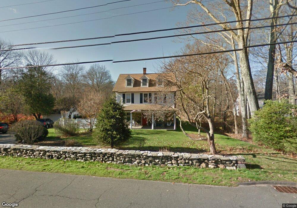
291 Brookside Rd Darien, CT 06820
Estimated Value: $2,682,000 - $3,064,261
About This Home
This home is located at 291 Brookside Rd, Darien, CT 06820 and is currently estimated at $2,882,065, approximately $719 per square foot. 291 Brookside Rd is a home located in Fairfield County with nearby schools including Ox Ridge Elementary School, Middlesex Middle School, and Darien High School.
Ownership History
We collect this data history from publicly available records. To have your information removed, we recommend requesting removal directly through your county’s website.
Purchase Details
Purchase Details
Home Values in the Area
Average Home Value in this Area
Purchase History
We collect this data history from publicly available records. To have your information removed, we recommend requesting removal directly through your county’s website.
| Date | Buyer | Sale Price | Title Company |
|---|---|---|---|
| -- | -- | ||
| -- | -- | ||
| $590,000 | -- |
Mortgage History
We collect this data history from publicly available records. To have your information removed, we recommend requesting removal directly through your county’s website.
| Date | Status | Borrower | Loan Amount |
|---|---|---|---|
| Previous Owner | $300,000 | ||
| Previous Owner | $188,721 | ||
| Previous Owner | $300,000 |
Tax History
We collect this data history from publicly available records. To have your information removed, we recommend requesting removal directly through your county’s website.
| Year | Tax Paid | Tax Assessment Tax Assessment Total Assessment is a certain percentage of the fair market value that is determined by local assessors to be the total taxable value of land and additions on the property. | Land | Improvement |
|---|---|---|---|---|
| 2025 | $24,857 | $1,605,730 | $1,050,840 | $554,890 |
| 2024 | $23,588 | $1,605,730 | $1,050,840 | $554,890 |
| 2023 | $20,838 | $1,183,280 | $817,320 | $365,960 |
| 2022 | $20,388 | $1,183,280 | $817,320 | $365,960 |
| 2021 | $19,926 | $1,183,280 | $817,320 | $365,960 |
| 2020 | $19,358 | $1,183,280 | $817,320 | $365,960 |
| 2019 | $19,489 | $1,183,280 | $817,320 | $365,960 |
| 2018 | $12,035 | $1,171,870 | $875,700 | $296,170 |
| 2017 | $18,937 | $1,171,870 | $875,700 | $296,170 |
| 2016 | $18,480 | $1,171,870 | $875,700 | $296,170 |
| 2015 | $17,988 | $1,171,870 | $875,700 | $296,170 |
| 2014 | $17,590 | $1,171,870 | $875,700 | $296,170 |
Map
- 74 Salisbury Rd
- 304 Brookside Rd
- 246 Brookside Rd
- 20 Marianne Rd
- 234 Brookside Rd
- 38 Three Wells Ln
- 175 Brookside Rd
- 316 Mansfield Ave
- 2 Rising Rd
- 201 W Norwalk Rd
- 196 W Norwalk Rd
- 7 Buttonwood Ln
- 13 Alewives Rd
- 27 Hillsley Rd
- 3 Princes Pine Rd
- 561 Middlesex Rd
- 130 W Norwalk Rd
- 132 1/2 W Norwalk Rd
- 21 Geneva Rd
- 19 Geneva Rd
- 297 Brookside Rd
- 285 Brookside Rd
- 300 Brookside Rd
- 283 Brookside Rd
- 1 Gracie Ln
- 3 Gracie Ln
- 275 Brookside Rd
- 62 Salisbury Rd
- 2 Gracie Ln
- 83 Salisbury Rd
- 298 Brookside Rd
- 5 Gracie Ln
- 268 Brookside Rd
- 320 Brookside Rd
- 48 Salisbury Rd
- 4 Gracie Ln
- 4 Marianne Rd
- 118 Pembroke Rd
- 7 Gracie Ln
- 256 Brookside Rd
Ask me questions while you tour the home.