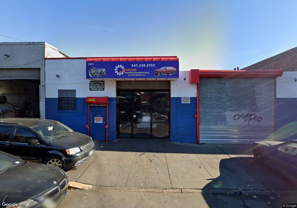
291 Junius St Brooklyn, NY 11212
Brownsville NeighborhoodEstimated Value: $625,551
About This Home
This home is located at 291 Junius St, Brooklyn, NY 11212 and is currently estimated at $625,551, approximately $125 per square foot. 291 Junius St is a home located in Kings County with nearby schools including P.S. 150 - Christopher, P.S. 156 Waverly, and P.S. 165 Ida Posner.
Ownership History
We collect this data history from publicly available records. To have your information removed, we recommend requesting removal directly through your county’s website.
Purchase Details
Home Financials for this Owner
Home Financials are based on the most recent Mortgage that was taken out on this home.Home Values in the Area
Average Home Value in this Area
Purchase History
We collect this data history from publicly available records. To have your information removed, we recommend requesting removal directly through your county’s website.
| Date | Buyer | Sale Price | Title Company |
|---|---|---|---|
| $350,000 | -- | ||
| $350,000 | -- |
Mortgage History
We collect this data history from publicly available records. To have your information removed, we recommend requesting removal directly through your county’s website.
| Date | Status | Borrower | Loan Amount |
|---|---|---|---|
| Open | $210,000 | ||
| Closed | $210,000 |
Tax History
We collect this data history from publicly available records. To have your information removed, we recommend requesting removal directly through your county’s website.
| Year | Tax Paid | Tax Assessment Tax Assessment Total Assessment is a certain percentage of the fair market value that is determined by local assessors to be the total taxable value of land and additions on the property. | Land | Improvement |
|---|---|---|---|---|
| 2026 | $20,621 | $249,750 | $69,750 | $180,000 |
| 2025 | $19,104 | $243,900 | $69,750 | $174,150 |
| 2024 | $19,104 | $224,100 | $69,750 | $154,350 |
| 2023 | $18,339 | $190,800 | $69,750 | $121,050 |
| 2022 | $17,617 | $163,800 | $69,750 | $94,050 |
| 2021 | $14,485 | $135,450 | $69,750 | $65,700 |
| 2020 | $9,082 | $183,600 | $69,750 | $113,850 |
| 2019 | $16,314 | $183,600 | $69,750 | $113,850 |
| 2018 | $14,932 | $173,700 | $69,750 | $103,950 |
| 2017 | $13,635 | $150,750 | $69,750 | $81,000 |
| 2016 | $12,800 | $141,300 | $49,950 | $91,350 |
| 2015 | $5,955 | $126,450 | $49,950 | $76,500 |
| 2014 | $5,955 | $117,900 | $49,950 | $67,950 |
Map
- 320 Snediker Ave
- 440 Blake Ave
- 460 Hinsdale St
- 353 Pennsylvania Ave
- 117 Osborn St
- 392 New Jersey Ave Unit 3921
- 444 New Jersey Ave
- 446 New Jersey Ave
- 45 Hinsdale St
- 525 Alabama Ave
- 64 Williams Ave
- 515 Hinsdale St
- 395 Vermont St
- 439 Vermont St
- 533 Snediker Ave
- 435 Rockaway Ave
- 548 Sheffield Ave
- 342 Wyona St
- 195 Chester St
- 2446 Dean St
- 474-476 Sutter Ave
- 476 Sutter Ave Unit 1
- 476 Sutter Ave
- 476 Sutter Ave
- 476 Sutter St
- 359 van Sinderen Ave
- 482 Sutter Ave
- 361-371 van Sinderen Ave
- 274 Snediker Ave
- 276 Snediker Ave
- 272 Snediker Ave
- 272 Snediker Ave Unit 2
- 278 Snediker Ave
- 280 Snediker Ave
- 284 Snediker Ave
- 286 Snediker Ave
- 456-460 Sutter Ave
- 292 Snediker Ave
- 373-375 van Sinderen Ave
- 288 Snediker Ave
Ask me questions while you tour the home.