291 Maple Dr Oakland, MI 48363
Estimated Value: $284,638 - $413,000
3
Beds
2
Baths
1,807
Sq Ft
$193/Sq Ft
Est. Value
About This Home
This home is located at 291 Maple Dr, Oakland, MI 48363 and is currently estimated at $349,410, approximately $193 per square foot. 291 Maple Dr is a home located in Oakland County with nearby schools including Hamilton Parsons Elementary School.
Ownership History
Date
Name
Owned For
Owner Type
Purchase Details
Closed on
Nov 10, 2025
Sold by
Ward Mark D
Bought by
Ward Mark D and Ward Sandra R
Current Estimated Value
Purchase Details
Closed on
Jul 20, 2004
Sold by
Woodard Daniel E and Bardoni Julie M
Bought by
Ward Mark D
Purchase Details
Closed on
Jul 31, 1998
Sold by
Wendt Truman E
Bought by
Woodard Daniel E
Home Financials for this Owner
Home Financials are based on the most recent Mortgage that was taken out on this home.
Original Mortgage
$151,000
Interest Rate
6.99%
Create a Home Valuation Report for This Property
The Home Valuation Report is an in-depth analysis detailing your home's value as well as a comparison with similar homes in the area
Home Values in the Area
Average Home Value in this Area
Purchase History
| Date | Buyer | Sale Price | Title Company |
|---|---|---|---|
| Ward Mark D | -- | None Listed On Document | |
| Ward Mark D | $199,000 | Lawyers Title Insurance Corp | |
| Woodard Daniel E | $159,000 | -- |
Source: Public Records
Mortgage History
| Date | Status | Borrower | Loan Amount |
|---|---|---|---|
| Previous Owner | Woodard Daniel E | $151,000 |
Source: Public Records
Tax History
| Year | Tax Paid | Tax Assessment Tax Assessment Total Assessment is a certain percentage of the fair market value that is determined by local assessors to be the total taxable value of land and additions on the property. | Land | Improvement |
|---|---|---|---|---|
| 2025 | $2,171 | $138,960 | $0 | $0 |
| 2024 | $1,597 | $139,370 | $0 | $0 |
| 2023 | $1,543 | $138,520 | $0 | $0 |
| 2022 | $1,987 | $125,230 | $0 | $0 |
| 2021 | $1,883 | $120,250 | $0 | $0 |
| 2020 | $1,434 | $115,130 | $0 | $0 |
| 2019 | $1,701 | $107,360 | $0 | $0 |
| 2018 | $1,664 | $102,520 | $0 | $0 |
| 2017 | $1,609 | $95,810 | $0 | $0 |
| 2016 | $1,621 | $91,710 | $0 | $0 |
| 2015 | -- | $89,200 | $0 | $0 |
| 2014 | -- | $72,350 | $0 | $0 |
| 2011 | -- | $56,490 | $0 | $0 |
Source: Public Records
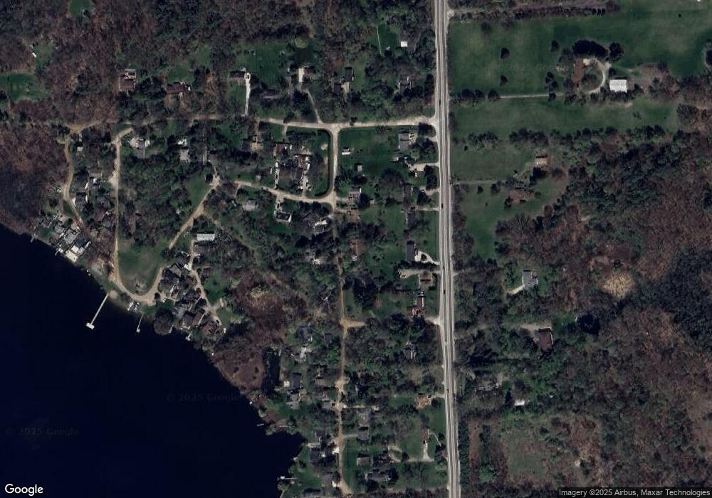
Map
Nearby Homes
- 400 E Romeo Rd
- 270 N Rochester Rd
- 0000 Rush
- 11.01 Acres Vacant L Knights Bridge
- 2.05 Acres VL - Knights Bridge
- 4.23 Acres VL - Knights Bridge
- 2.02 Acres VL - Knights Bridge
- 000 Knights Bridge
- 1028 Rochawies Dr
- 5 Rochawies Dr
- 0000 Round Lake Ln
- 2453 Pebble Beach Dr
- 906 Yule Rd
- 2612 Invitational Dr
- 1644 Vista Dr
- 1812 Vista Dr
- 1583 Vista Dr
- 1792 Vista Dr
- 1721 Moffat
- 000 Parks
- 371 Maple Dr
- 277 Maple Dr
- 336 S Rochester Rd
- 298 Maple Dr
- 300 S Rochester Rd
- 121 Cherry Dr Unit Bldg-Unit
- 121 Cherry Dr
- 263 Maple Dr
- 370 S Rochester Rd
- 98 Beach Dr
- 376 S Rochester Rd
- 290 S Rochester Rd
- 359 Rochester Rd
- 151 Cherry Dr
- 140 Cherry Dr
- 276 S Rochester Rd
- 400 Oak Dr
- 403 Oak Dr
- 117 Beach Dr
- 420 S Rochester Rd
Your Personal Tour Guide
Ask me questions while you tour the home.