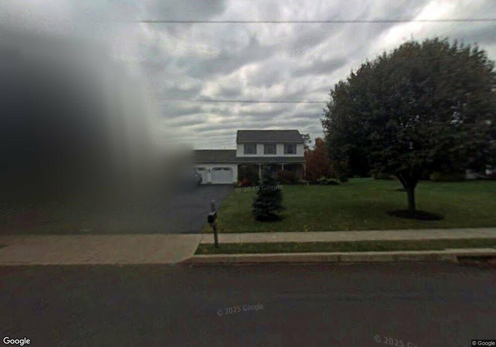
2910 Cowpath Rd Hatfield, PA 19440
Estimated Value: $491,000 - $589,000
About This Home
This home is located at 2910 Cowpath Rd, Hatfield, PA 19440 and is currently estimated at $536,603, approximately $263 per square foot. 2910 Cowpath Rd is a home located in Montgomery County with nearby schools including Hatfield Elementary School, Pennfield Middle School, and North Penn Senior High School.
Ownership History
We collect this data history from publicly available records. To have your information removed, we recommend requesting removal directly through your county’s website.
Purchase Details
Home Financials for this Owner
Home Financials are based on the most recent Mortgage that was taken out on this home.Purchase Details
Home Values in the Area
Average Home Value in this Area
Purchase History
We collect this data history from publicly available records. To have your information removed, we recommend requesting removal directly through your county’s website.
| Date | Buyer | Sale Price | Title Company |
|---|---|---|---|
| $364,900 | None Available | ||
| $159,900 | -- |
Mortgage History
We collect this data history from publicly available records. To have your information removed, we recommend requesting removal directly through your county’s website.
| Date | Status | Borrower | Loan Amount |
|---|---|---|---|
| Previous Owner | $291,900 |
Tax History
We collect this data history from publicly available records. To have your information removed, we recommend requesting removal directly through your county’s website.
| Year | Tax Paid | Tax Assessment Tax Assessment Total Assessment is a certain percentage of the fair market value that is determined by local assessors to be the total taxable value of land and additions on the property. | Land | Improvement |
|---|---|---|---|---|
| 2026 | $7,347 | $169,380 | -- | -- |
| 2025 | $6,781 | $169,380 | $44,650 | $124,730 |
| 2024 | $6,781 | $169,380 | $44,650 | $124,730 |
| 2023 | $6,490 | $169,380 | $44,650 | $124,730 |
| 2022 | $6,279 | $169,380 | $44,650 | $124,730 |
| 2021 | $6,101 | $169,380 | $44,650 | $124,730 |
| 2020 | $5,956 | $169,380 | $44,650 | $124,730 |
| 2019 | $5,857 | $169,380 | $44,650 | $124,730 |
| 2018 | $5,857 | $169,380 | $44,650 | $124,730 |
| 2017 | $5,633 | $169,380 | $44,650 | $124,730 |
| 2016 | $5,567 | $169,380 | $44,650 | $124,730 |
| 2015 | $5,345 | $169,380 | $44,650 | $124,730 |
| 2014 | $5,345 | $169,380 | $44,650 | $124,730 |
Map
- 2724 Beech St
- 2721 Cowpath Rd
- 1949 Overbrook Rd
- 22 Holiday Ave
- 2732 Towamencin Ave
- 334 W Broad St
- 105 S Main St
- 340 W Broad St
- 1212 Wright St
- 3166 Arbour Green Ct
- 2719 Supplee Cir
- 109 Hickory Dr
- 29 W Vine St
- 1038 Arthur Dr
- 327 Melbourne Way
- 377 Brittany Ct
- 383 Brittany Ct
- 1717 Lisa Ct
- 708 Finlay Dr
- 1106 Hill St
- 2930 Cowpath Rd
- 2890 Cowpath Rd
- 1560 Lynrose Cir
- 2948 Cowpath Rd
- 2923 Cowpath Rd
- 1580 Lynrose Cir
- 2925 Cowpath Rd
- 2825 Cowpath Rd
- 2927 Cowpath Rd
- 2870 Cowpath Rd
- 2929 Cowpath Rd
- 2042 Oak Ave
- 2042 Oak Ave Unit 2004
- 2004 Oak Ave
- 2931 Cowpath Rd
- 1711 Lynrose Cir
- 2819 Cowpath Rd
- 2933 Cowpath Rd
- 2935 Cowpath Rd
- 2970 Cowpath Rd
Ask me questions while you tour the home.