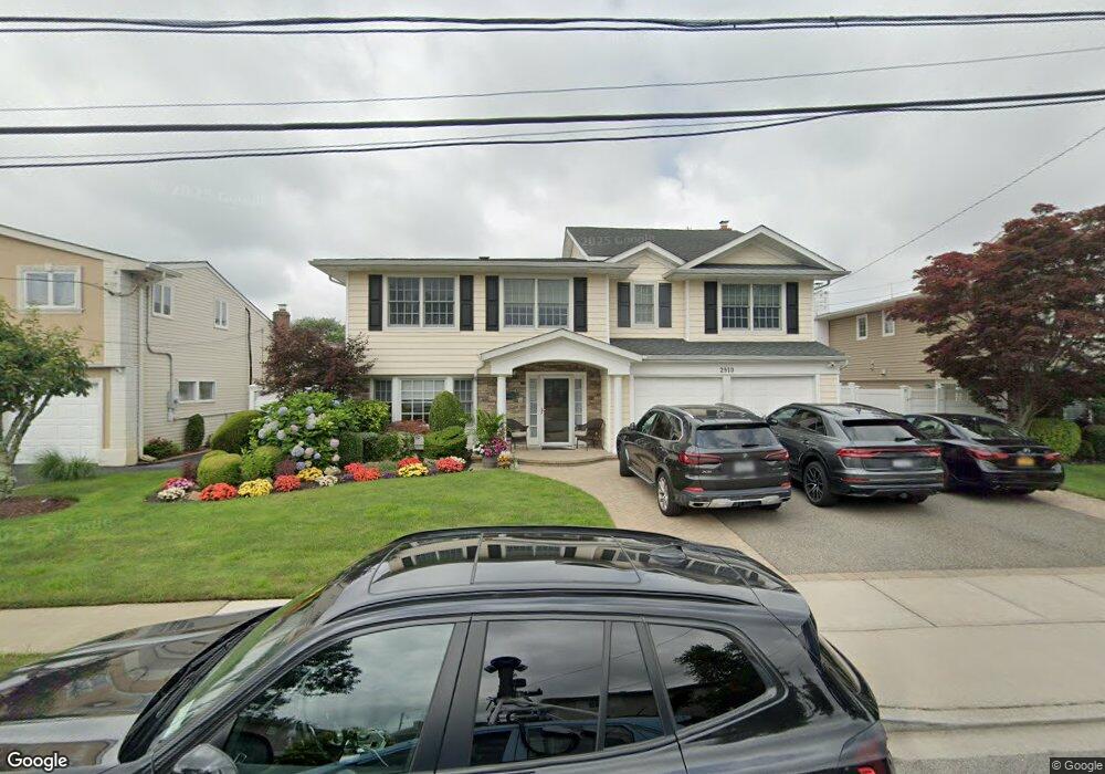
2910 Preston Ln Merrick, NY 11566
Estimated Value: $1,074,433 - $1,144,000
About This Home
This home is located at 2910 Preston Ln, Merrick, NY 11566 and is currently estimated at $1,109,217, approximately $342 per square foot. 2910 Preston Ln is a home located in Nassau County with nearby schools including Merrick Avenue Middle School, John F. Kennedy High School, and Grace Christian Academy.
Ownership History
We collect this data history from publicly available records. To have your information removed, we recommend requesting removal directly through your county’s website.
Purchase Details
Home Financials for this Owner
Home Financials are based on the most recent Mortgage that was taken out on this home.Home Values in the Area
Average Home Value in this Area
Purchase History
We collect this data history from publicly available records. To have your information removed, we recommend requesting removal directly through your county’s website.
| Date | Buyer | Sale Price | Title Company |
|---|---|---|---|
| $390,000 | -- |
Mortgage History
We collect this data history from publicly available records. To have your information removed, we recommend requesting removal directly through your county’s website.
| Date | Status | Borrower | Loan Amount |
|---|---|---|---|
| Closed | $190,000 |
Tax History
We collect this data history from publicly available records. To have your information removed, we recommend requesting removal directly through your county’s website.
| Year | Tax Paid | Tax Assessment Tax Assessment Total Assessment is a certain percentage of the fair market value that is determined by local assessors to be the total taxable value of land and additions on the property. | Land | Improvement |
|---|---|---|---|---|
| 2026 | $19,548 | $650 | $217 | $433 |
| 2025 | $19,548 | $680 | $227 | $453 |
| 2024 | $5,040 | $732 | $244 | $488 |
| 2023 | $18,971 | $752 | $251 | $501 |
| 2022 | $18,971 | $752 | $251 | $501 |
| 2021 | $18,412 | $741 | $247 | $494 |
| 2020 | $11,496 | $915 | $627 | $288 |
| 2019 | $15,598 | $980 | $630 | $350 |
| 2018 | $15,417 | $1,046 | $0 | $0 |
| 2017 | $10,587 | $1,111 | $635 | $476 |
| 2016 | $15,055 | $1,176 | $561 | $615 |
| 2015 | $4,524 | $1,241 | $592 | $649 |
| 2014 | $4,524 | $1,241 | $592 | $649 |
| 2013 | $4,851 | $1,409 | $672 | $737 |
Map
- 2883 Shore Dr
- 2959 Shore Dr
- 1841 Stanley Dr
- 1932 Cynthia Ln
- 2998 Joyce Ln
- 2912 Bay Dr
- 2935 Bay Dr
- 1758 John St
- 3089 Monterey Dr
- 3000 Holiday Park Dr
- 2821 Colonial Ave
- 2977 Charlotte Dr
- 1970 Brook Park Dr
- 2729 Shore Dr
- 2959 Clubhouse Rd
- 2026 Bliss Place
- 2772 Riverside Ave
- 2812 Covered Bridge Rd
- 2794 Covered Bridge Rd
- 2890 Clubhouse Rd
- 2904 Preston Ln
- 2898 Preston Ln
- 2925 Joyce Ln
- 2919 Joyce Ln
- 2931 Joyce Ln
- 2892 Preston Ln
- 2916 Preston Ln
- 2909 Preston Ln
- 2911 Joyce Ln
- 2897 Preston Ln
- 2937 Joyce Ln
- 2891 Preston Ln
- 2886 Preston Ln
- 2922 Preston Ln
- 2921 Preston Ln
- 2905 Joyce Ln
- 2943 Joyce Ln
- 1981 Lowell Ln
- 1975 Lowell Ln
- 2885 Preston Ln
Ask me questions while you tour the home.