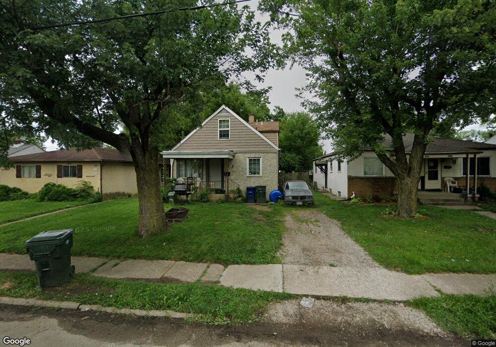
2911 McGuffey Rd Columbus, OH 43224
North Linden NeighborhoodEstimated Value: $156,558 - $193,000
4
Beds
2
Baths
1,137
Sq Ft
$151/Sq Ft
Est. Value
About This Home
This home is located at 2911 McGuffey Rd, Columbus, OH 43224 and is currently estimated at $172,140, approximately $151 per square foot. 2911 McGuffey Rd is a home located in Franklin County with nearby schools including Como Elementary School, Dominion Middle School, and Whetstone High School.
Ownership History
Date
Name
Owned For
Owner Type
Purchase Details
Closed on
Jan 14, 2010
Sold by
Bond Gordon T and Bond Judith M
Bought by
Dranichak Michelle L
Current Estimated Value
Purchase Details
Closed on
Feb 9, 1999
Sold by
Bond Gordon T and Bond Judith M
Bought by
Bond Gordon T and Bond Judith M
Purchase Details
Closed on
Jan 12, 1967
Bought by
Bond Gordon T
Create a Home Valuation Report for This Property
The Home Valuation Report is an in-depth analysis detailing your home's value as well as a comparison with similar homes in the area
Home Values in the Area
Average Home Value in this Area
Purchase History
| Date | Buyer | Sale Price | Title Company |
|---|---|---|---|
| Dranichak Michelle L | $14,700 | Hostetler Title | |
| Bond Gordon T | -- | -- | |
| Bond Gordon T | -- | -- |
Source: Public Records
Tax History
| Year | Tax Paid | Tax Assessment Tax Assessment Total Assessment is a certain percentage of the fair market value that is determined by local assessors to be the total taxable value of land and additions on the property. | Land | Improvement |
|---|---|---|---|---|
| 2025 | $2,230 | $48,660 | $11,660 | $37,000 |
| 2024 | $2,230 | $48,660 | $11,660 | $37,000 |
| 2023 | $2,202 | $48,650 | $11,655 | $36,995 |
| 2022 | $856 | $16,100 | $5,250 | $10,850 |
| 2021 | $857 | $16,100 | $5,250 | $10,850 |
| 2020 | $838 | $15,720 | $5,250 | $10,470 |
| 2019 | $802 | $12,890 | $4,380 | $8,510 |
| 2018 | $559 | $12,890 | $4,380 | $8,510 |
| 2017 | $801 | $12,890 | $4,380 | $8,510 |
| 2016 | $350 | $5,150 | $4,900 | $250 |
| 2015 | $319 | $5,150 | $4,900 | $250 |
| 2014 | $319 | $5,150 | $4,900 | $250 |
| 2013 | $157 | $5,145 | $4,900 | $245 |
Source: Public Records
Map
Nearby Homes
- 2950 Grasmere Ave
- 2888 Howey Rd
- 2872 Howey Rd
- 2992 Howey Rd
- 3016 McGuffey Rd
- 2916 Hamilton Ave
- 1222 Manchester Ave
- 3081 Grasmere Ave
- 2905 Hiawatha St
- 964 E Weber Rd
- 2873 Ontario St
- 1311 E Weber Rd
- 2696 Grasmere Ave
- 1166 Minnesota Ave
- 3085 Hamilton Ave
- 1227 E North Broadway St
- 3085 Gerbert Rd
- 1199 Minnesota Ave
- 2752 Azelda St
- 1104 E North Broadway St
- 2915 McGuffey Rd Unit 917
- 2903 McGuffey Rd
- 2919 McGuffey Rd
- 2899 McGuffey Rd
- 2897 McGuffey Rd
- 2916 Grasmere Ave
- 2924 Grasmere Ave
- 2912 Grasmere Ave
- 2889 McGuffey Rd
- 2908 Grasmere Ave
- 2910 McGuffey Rd Unit 12
- 2902 Grasmere Ave
- 2916 McGuffey Rd Unit 18
- 2916-2918 McGuffey Rd
- 1123 E Como Ave Unit 131
- 2885 McGuffey Rd
- 2896 McGuffey Rd Unit 898
- 2940 Grasmere Ave
- 2898 Grasmere Ave
- 2924 McGuffey Rd Unit 26
Your Personal Tour Guide
Ask me questions while you tour the home.