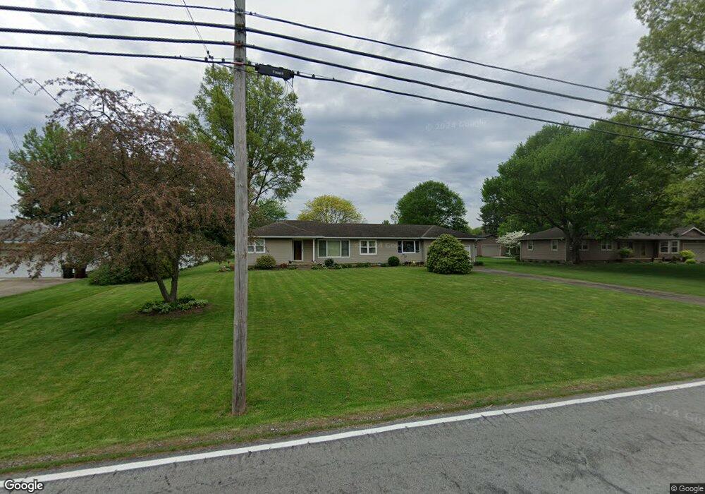
2911 Sweitzer Rd Uniontown, OH 44685
Estimated Value: $210,479 - $256,000
3
Beds
1
Bath
1,484
Sq Ft
$158/Sq Ft
Est. Value
About This Home
This home is located at 2911 Sweitzer Rd, Uniontown, OH 44685 and is currently estimated at $234,120, approximately $157 per square foot. 2911 Sweitzer Rd is a home located in Summit County with nearby schools including Greenwood Elementary School, Green Primary School, and Green Intermediate Elementary School.
Ownership History
Date
Name
Owned For
Owner Type
Purchase Details
Closed on
Jun 25, 2002
Sold by
Schnabel Sygh E
Bought by
Schnabel Linda M
Current Estimated Value
Purchase Details
Closed on
Apr 26, 1996
Sold by
Est Harry L Grable
Bought by
Schnabel Sygh E and Schnabel Linda M
Home Financials for this Owner
Home Financials are based on the most recent Mortgage that was taken out on this home.
Original Mortgage
$84,000
Outstanding Balance
$4,747
Interest Rate
7.91%
Mortgage Type
New Conventional
Estimated Equity
$229,373
Create a Home Valuation Report for This Property
The Home Valuation Report is an in-depth analysis detailing your home's value as well as a comparison with similar homes in the area
Purchase History
| Date | Buyer | Sale Price | Title Company |
|---|---|---|---|
| Schnabel Linda M | -- | -- | |
| Schnabel Sygh E | $99,000 | -- |
Source: Public Records
Mortgage History
| Date | Status | Borrower | Loan Amount |
|---|---|---|---|
| Open | Schnabel Sygh E | $84,000 |
Source: Public Records
Tax History
| Year | Tax Paid | Tax Assessment Tax Assessment Total Assessment is a certain percentage of the fair market value that is determined by local assessors to be the total taxable value of land and additions on the property. | Land | Improvement |
|---|---|---|---|---|
| 2024 | $2,949 | $62,973 | $12,933 | $50,040 |
| 2023 | $2,949 | $62,973 | $12,933 | $50,040 |
| 2022 | $2,437 | $46,726 | $9,580 | $37,146 |
| 2021 | $2,284 | $46,726 | $9,580 | $37,146 |
| 2020 | $2,239 | $46,730 | $9,580 | $37,150 |
| 2019 | $2,135 | $41,760 | $10,320 | $31,440 |
| 2018 | $2,183 | $41,760 | $10,320 | $31,440 |
| 2017 | $1,993 | $41,760 | $10,320 | $31,440 |
| 2016 | $1,983 | $35,800 | $10,320 | $25,480 |
| 2015 | $1,993 | $35,800 | $10,320 | $25,480 |
| 2014 | $1,980 | $35,800 | $10,320 | $25,480 |
| 2013 | $2,001 | $35,910 | $10,320 | $25,590 |
Source: Public Records
Map
Nearby Homes
- 2941 Sweitzer Rd
- 2512 Twin Lakes Dr
- 2903 Northview Rd
- 2771 Superior Dr
- 13530 Amodio Ave NW
- 3555 N Vista St NW
- 3411 Sweitzer St NW
- 2898 Canton Rd
- 3771 Edison St NW
- 2958 E Turkeyfoot Lake Rd
- 3025 Killian Rd
- 3290 Sweitzer St NW
- 3540 Bushwillow Dr
- 3544 Bushwillow Dr
- 3788 Carl St NW
- 13526 Glenvale Ave NW
- 3720 Carl St NW
- 12881 Sunset Cir NW
- 2190 Waterbury Dr
- 2667 Spade Rd
- 2921 Sweitzer Rd
- 2899 Sweitzer Rd
- 2912 Eldon Dr
- 2887 Sweitzer Rd
- 2434 Woodview Rd
- 2900 Eldon Dr
- 2484 Woodview Rd
- 2900 Sweitzer Rd
- 2886 Eldon Dr
- 2875 Sweitzer Rd
- 2888 Sweitzer Rd
- 2443 Woodview Rd
- 2880 Sweitzer Rd
- 2485 Woodview Rd
- 2953 Sweitzer Rd
- 2473 Fairview Rd
- 2431 Woodview Rd
- 2935 Eldon Dr
- 2911 Eldon Dr
- 2506 Woodview Rd
Your Personal Tour Guide
Ask me questions while you tour the home.