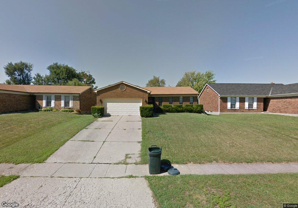
2912 Commodore Ln Cincinnati, OH 45251
Estimated Value: $238,000 - $248,000
3
Beds
2
Baths
1,285
Sq Ft
$190/Sq Ft
Est. Value
About This Home
This home is located at 2912 Commodore Ln, Cincinnati, OH 45251 and is currently estimated at $243,816, approximately $189 per square foot. 2912 Commodore Ln is a home located in Hamilton County with nearby schools including Colerain Elementary School, Colerain Middle School, and Colerain High School.
Ownership History
Date
Name
Owned For
Owner Type
Purchase Details
Closed on
Jul 18, 2001
Sold by
Frederick Richard A
Bought by
Gross Michael D and Gross Carolyn R
Current Estimated Value
Home Financials for this Owner
Home Financials are based on the most recent Mortgage that was taken out on this home.
Original Mortgage
$111,900
Interest Rate
7.03%
Create a Home Valuation Report for This Property
The Home Valuation Report is an in-depth analysis detailing your home's value as well as a comparison with similar homes in the area
Home Values in the Area
Average Home Value in this Area
Purchase History
| Date | Buyer | Sale Price | Title Company |
|---|---|---|---|
| Gross Michael D | $119,900 | -- |
Source: Public Records
Mortgage History
| Date | Status | Borrower | Loan Amount |
|---|---|---|---|
| Previous Owner | Gross Michael D | $111,900 |
Source: Public Records
Tax History
| Year | Tax Paid | Tax Assessment Tax Assessment Total Assessment is a certain percentage of the fair market value that is determined by local assessors to be the total taxable value of land and additions on the property. | Land | Improvement |
|---|---|---|---|---|
| 2025 | $3,713 | $64,397 | $12,978 | $51,419 |
| 2023 | $3,463 | $64,397 | $12,978 | $51,419 |
| 2022 | $3,283 | $49,802 | $11,267 | $38,535 |
| 2021 | $3,255 | $49,802 | $11,267 | $38,535 |
| 2020 | $3,289 | $49,802 | $11,267 | $38,535 |
| 2019 | $2,843 | $40,163 | $9,086 | $31,077 |
| 2018 | $2,550 | $40,163 | $9,086 | $31,077 |
| 2017 | $2,416 | $40,163 | $9,086 | $31,077 |
| 2016 | $2,266 | $37,160 | $9,041 | $28,119 |
| 2015 | $2,288 | $37,160 | $9,041 | $28,119 |
| 2014 | $2,292 | $37,160 | $9,041 | $28,119 |
| 2013 | $2,296 | $39,117 | $9,517 | $29,600 |
Source: Public Records
Map
Nearby Homes
- 3069 Sovereign Dr
- 8545 Noelle Dr
- 2736 Barthas Place
- 8628 Paisley Dr
- 8278 Lyness Dr
- 2655 Barthas Place
- 2750 W Galbraith Rd
- 2701 Hennge Dr
- 2807 W Galbraith Rd
- 8265 Haskell Dr
- 8228 Haskell Dr
- 8526 Neptune Dr
- 2335 Bluelark Dr
- 8241 Georgianna Dr
- 8949 Pippin Rd
- 3269 Warfield Ave
- 2680 Royal Glen Dr
- 2351 Mercury Ave
- 9103 Zoellner Rd
- 8729 Morningstar Ln
- 2904 Commodore Ln
- 2920 Commodore Ln
- 2928 Commodore Ln
- 2896 Commodore Ln
- 2953 Regal Ln
- 2961 Regal Ln
- 2945 Regal Ln
- 2888 Commodore Ln
- 2913 Commodore Ln
- 2969 Regal Ln
- 2963 Commodore Ln
- 2963 Commodore Ln Unit 7
- 2963 Commodore Ln Unit 7
- 2963 Commodore Ln
- 2963 Commodore Ln
- 2963 Commodore Ln
- 2963 Commodore Ln
- 2963 Commodore Ln
- 2963 Commodore Ln
- 2963 Commodore Ln
Your Personal Tour Guide
Ask me questions while you tour the home.