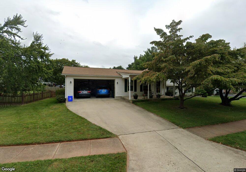
2913 Ashdown Forest Dr Herndon, VA 20171
Oak Hill NeighborhoodEstimated Value: $711,000 - $724,000
4
Beds
3
Baths
1,232
Sq Ft
$582/Sq Ft
Est. Value
About This Home
This home is located at 2913 Ashdown Forest Dr, Herndon, VA 20171 and is currently estimated at $717,145, approximately $582 per square foot. 2913 Ashdown Forest Dr is a home located in Fairfax County with nearby schools including Crossfield Elementary, Rachel Carson Middle School, and Oakton High.
Ownership History
Date
Name
Owned For
Owner Type
Purchase Details
Closed on
Oct 18, 2018
Sold by
Meininger Grace
Bought by
Meininger Grace Helen and Meininger Trust
Current Estimated Value
Purchase Details
Closed on
Aug 27, 2003
Sold by
Creighton William
Bought by
Meininger Grace
Purchase Details
Closed on
Jun 29, 2000
Sold by
Helmrich Edward L
Bought by
Creighton William
Home Financials for this Owner
Home Financials are based on the most recent Mortgage that was taken out on this home.
Original Mortgage
$191,501
Interest Rate
8.59%
Create a Home Valuation Report for This Property
The Home Valuation Report is an in-depth analysis detailing your home's value as well as a comparison with similar homes in the area
Home Values in the Area
Average Home Value in this Area
Purchase History
| Date | Buyer | Sale Price | Title Company |
|---|---|---|---|
| Meininger Grace Helen | -- | None Available | |
| Meininger Grace | $309,900 | -- | |
| Creighton William | $178,000 | -- |
Source: Public Records
Mortgage History
| Date | Status | Borrower | Loan Amount |
|---|---|---|---|
| Previous Owner | Creighton William | $191,501 |
Source: Public Records
Tax History
| Year | Tax Paid | Tax Assessment Tax Assessment Total Assessment is a certain percentage of the fair market value that is determined by local assessors to be the total taxable value of land and additions on the property. | Land | Improvement |
|---|---|---|---|---|
| 2025 | $7,309 | $635,860 | $269,000 | $366,860 |
| 2024 | $7,309 | $630,860 | $264,000 | $366,860 |
| 2023 | $6,926 | $613,730 | $259,000 | $354,730 |
| 2022 | $6,530 | $571,070 | $244,000 | $327,070 |
| 2021 | $6,064 | $516,780 | $234,000 | $282,780 |
| 2020 | $5,579 | $471,440 | $219,000 | $252,440 |
| 2019 | $5,550 | $468,940 | $219,000 | $249,940 |
| 2018 | $5,404 | $469,870 | $219,000 | $250,870 |
| 2017 | $5,134 | $442,210 | $209,000 | $233,210 |
| 2016 | $4,878 | $421,100 | $199,000 | $222,100 |
Source: Public Records
Map
Nearby Homes
- 12903 Oak Lawn Place
- 3003 Emerald Chase Dr
- 2982 Emerald Chase Dr
- 12741 Oak Farms Dr
- 12771 Flat Meadow Ln
- 3124 Ashburton Ave
- 12731 Oak Farms Dr
- 13214 Stone Heather Dr
- 2790 Mansway Dr
- 3001 Jeannie Anna Ct
- 13142 New Parkland Dr
- 12903 Pinecrest Rd
- 2622 Sheringham Dr
- 12709 Bradwell Rd
- 3240 Tayloe Ct
- 12615 Heritage Farm Ln
- 2781 Middleton Farm Ct
- 3006 Franklin Corner Ln
- 3023 Mcmaster Ct
- 2859 Cherry Branch Ln
- 2917 Ashdown Forest Dr
- 13005 Mount Aubern Ct
- 13007 Mount Aubern Ct
- 2916 Ashdown Forest Dr
- 13003 Mount Aubern Ct
- 2925 Ashdown Forest Dr
- 2910 Ashdown Forest Dr
- 2912 Ashdown Forest Dr
- 13001 Mount Aubern Ct
- 13004 Mount Aubern Ct
- 2901 Ashdown Forest Dr
- 2914 Ashdown Forest Dr
- 2927 Ashdown Forest Dr
- 2926 Ashdown Forest Dr
- 13010 Rock Spray Ct
- 2920 Ashdown Forest Dr
- 13002 Mount Aubern Ct
- 13008 Rock Spray Ct
- 2900 Ashdown Forest Dr
- 13000 Mount Aubern Ct
Your Personal Tour Guide
Ask me questions while you tour the home.