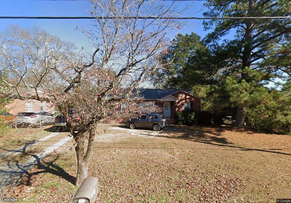
2913 W Britt David Rd Columbus, GA 31909
North Columbus NeighborhoodEstimated Value: $131,000 - $183,000
About This Home
This home is located at 2913 W Britt David Rd, Columbus, GA 31909 and is currently estimated at $149,632, approximately $144 per square foot. 2913 W Britt David Rd is a home located in Muscogee County with nearby schools including Allen Elementary School, Arnold Middle School, and Jordan Vocational High School.
Ownership History
We collect this data history from publicly available records. To have your information removed, we recommend requesting removal directly through your county’s website.
Purchase Details
Home Financials for this Owner
Home Financials are based on the most recent Mortgage that was taken out on this home.Purchase Details
Purchase Details
Purchase Details
Home Values in the Area
Average Home Value in this Area
Purchase History
We collect this data history from publicly available records. To have your information removed, we recommend requesting removal directly through your county’s website.
| Date | Buyer | Sale Price | Title Company |
|---|---|---|---|
| $73,800 | None Available | ||
| $112,000 | None Available | ||
| $51,600 | None Available | ||
| -- | None Available |
Mortgage History
We collect this data history from publicly available records. To have your information removed, we recommend requesting removal directly through your county’s website.
| Date | Status | Borrower | Loan Amount |
|---|---|---|---|
| Open | $72,463 |
Tax History
We collect this data history from publicly available records. To have your information removed, we recommend requesting removal directly through your county’s website.
| Year | Tax Paid | Tax Assessment Tax Assessment Total Assessment is a certain percentage of the fair market value that is determined by local assessors to be the total taxable value of land and additions on the property. | Land | Improvement |
|---|---|---|---|---|
| 2025 | $1,246 | $36,164 | $8,384 | $27,780 |
| 2024 | $1,245 | $36,164 | $8,384 | $27,780 |
| 2023 | $558 | $36,164 | $8,384 | $27,780 |
| 2022 | $1,298 | $30,792 | $8,384 | $22,408 |
| 2021 | $1,291 | $32,288 | $8,384 | $23,904 |
| 2020 | $1,291 | $32,288 | $8,384 | $23,904 |
| 2019 | $1,297 | $32,288 | $8,384 | $23,904 |
| 2018 | $1,297 | $32,288 | $8,384 | $23,904 |
| 2017 | $1,303 | $32,288 | $8,384 | $23,904 |
| 2016 | $1,309 | $45,007 | $4,306 | $40,701 |
| 2015 | $1,311 | $45,007 | $4,306 | $40,701 |
| 2014 | $1,285 | $44,329 | $4,306 | $40,023 |
| 2013 | -- | $44,329 | $4,306 | $40,023 |
Map
- 3016 Piper St
- 3035 Mustang Dr
- 2910 Beech St
- 3229 Jottings Dr
- 5724 Sanford Ave
- 5 Neassie Ct
- 5823 Ventura Dr
- 5818 Winvelly Dr
- 3025 Vultee Dr
- 6018 Boeing Dr
- 5805 Fairchild Dr
- 5817 Fairchild Dr
- 5826 Fairchild Dr
- 5435 Wayne Dr
- 5828 Sherborne Dr
- 2996 Blanchard Place
- 5502 Southlea Ln
- 3 Seaton Ct
- 5630 Lorenzo Rd
- 2201 Westminster Way
- 2919 W Britt David Rd
- 2927 W Britt David Rd
- 2907 W Britt David Rd
- 5519 Perry Ave
- 2909 Piper St
- 5513 Perry Ave
- 2935 W Britt David Rd
- 5525 Perry Ave
- 2901 W Britt David Rd
- 5503 Perry Ave
- 5529 Perry Ave
- 2899 W Britt David Rd
- 2895 W Britt David Rd
- 5533 Perry Ave
- 5516 Perry Ave
- 5524 Perry Ave
- 5510 Perry Ave
- 2918 Piper St
- 5502 Perry Ave
- 2955 W Britt David Rd
Ask me questions while you tour the home.