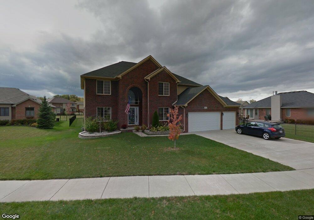
29136 Bay Pointe Dr Chesterfield, MI 48047
Estimated Value: $487,602 - $585,000
4
Beds
3
Baths
2,713
Sq Ft
$196/Sq Ft
Est. Value
About This Home
This home is located at 29136 Bay Pointe Dr, Chesterfield, MI 48047 and is currently estimated at $530,901, approximately $195 per square foot. 29136 Bay Pointe Dr is a home located in Macomb County with nearby schools including Dean A. Naldrett School, Anchor Bay Middle School South, and Anchor Bay High School.
Ownership History
Date
Name
Owned For
Owner Type
Purchase Details
Closed on
Aug 4, 2010
Sold by
Onewest Bank Fsb
Bought by
Federal National Mortgage Association
Current Estimated Value
Purchase Details
Closed on
Jul 23, 2010
Sold by
Kostendt Diana and Kostendt Eric
Bought by
Onewest Bank Fsb
Purchase Details
Closed on
Feb 25, 2005
Sold by
Nevada Building Co
Bought by
Kostendt Eric and Kostendt Diana
Home Financials for this Owner
Home Financials are based on the most recent Mortgage that was taken out on this home.
Original Mortgage
$60,430
Interest Rate
5.7%
Mortgage Type
Stand Alone Second
Purchase Details
Closed on
Nov 25, 2002
Sold by
Baycourt Development Llc
Bought by
Nevada Building Co Inc
Create a Home Valuation Report for This Property
The Home Valuation Report is an in-depth analysis detailing your home's value as well as a comparison with similar homes in the area
Home Values in the Area
Average Home Value in this Area
Purchase History
| Date | Buyer | Sale Price | Title Company |
|---|---|---|---|
| Federal National Mortgage Association | -- | None Available | |
| Onewest Bank Fsb | $304,176 | None Available | |
| Kostendt Eric | $68,000 | Philip R Seaver Title Co Inc | |
| Nevada Building Co Inc | $58,000 | Greco |
Source: Public Records
Mortgage History
| Date | Status | Borrower | Loan Amount |
|---|---|---|---|
| Previous Owner | Kostendt Eric | $60,430 |
Source: Public Records
Tax History
| Year | Tax Paid | Tax Assessment Tax Assessment Total Assessment is a certain percentage of the fair market value that is determined by local assessors to be the total taxable value of land and additions on the property. | Land | Improvement |
|---|---|---|---|---|
| 2025 | $3,192 | $253,800 | $0 | $0 |
| 2024 | $31 | $233,100 | $0 | $0 |
| 2023 | $2,943 | $218,800 | $0 | $0 |
| 2022 | $4,972 | $183,300 | $0 | $0 |
| 2021 | $4,843 | $169,000 | $0 | $0 |
| 2020 | $2,704 | $162,600 | $0 | $0 |
| 2019 | $4,487 | $152,700 | $0 | $0 |
| 2018 | $4,373 | $144,400 | $22,600 | $121,800 |
| 2017 | $4,323 | $137,500 | $22,550 | $114,950 |
| 2016 | $4,315 | $137,500 | $0 | $0 |
| 2015 | $2,063 | $128,850 | $0 | $0 |
| 2014 | $2,063 | $114,900 | $13,200 | $101,700 |
| 2012 | -- | $0 | $0 | $0 |
Source: Public Records
Map
Nearby Homes
- 29167 Rachid Ln
- 29213 Rachid Ln
- 00 N Cotton Rd
- 47630 Lorie Ln Unit 9
- 29011 Cotton Rd
- 47816 Jefferson Ave
- 47900 Jefferson Ave
- 29700 Red Fox Ln
- 29445 Private Dr
- 29697 Red Fox Ln
- 48218 Harbor Dr
- 48118 Forbes St
- 000 Farwell St
- 29050 Farwell St
- 47475 Lizabeth Dr Unit 13
- 00000 21 Mile Rd
- 28715 Portsmouth Ct Unit 32
- 28737 Sheffield Ct Unit 20
- 48323 Whittington Dr
- 46440 Jefferson Ave
- 29114 Bay Pointe Dr
- 29118 Bay Pointe Dr
- 29110 Bay Pointe Dr
- 29144 Bay Pointe Dr
- 29241 Rachid Ct
- 29106 Bay Pointe Dr
- 29137 Bay Pointe Dr
- 29141 Bay Pointe Dr
- 29245 Rachid Ct
- 29133 Bay Pointe Dr
- 29102 Bay Pointe Dr
- 29208 Rachid Ln
- 29129 Bay Pointe Dr
- 29113 Bay Pointe Dr
- 29145 Bay Pointe Dr
- 29212 Rachid Ln
- 29184 Rachid Ln
- 29109 Bay Pointe Dr
- 29237 Rachid Ct
- 29117 Bay Pointe Dr
Your Personal Tour Guide
Ask me questions while you tour the home.