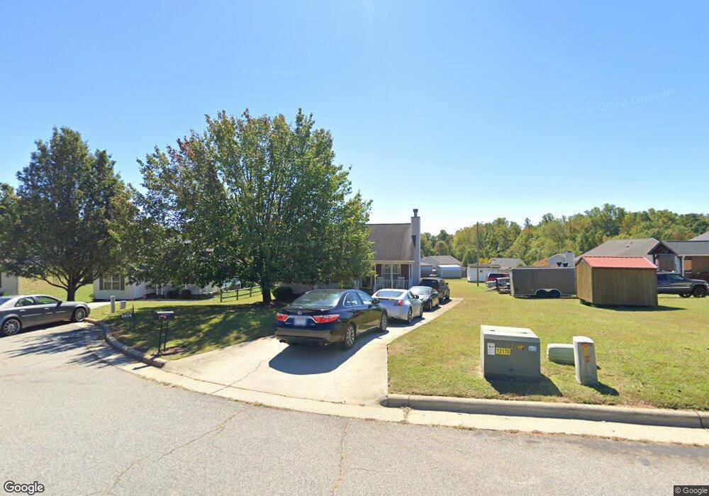
2916 Station Ct High Point, NC 27260
Greater High Point NeighborhoodEstimated Value: $180,000 - $251,000
About This Home
This home is located at 2916 Station Ct, High Point, NC 27260 and is currently estimated at $208,349, approximately $188 per square foot. 2916 Station Ct is a home located in Guilford County with nearby schools including Union Hill Elementary School, Jamestown Middle School, and Ragsdale High School.
Ownership History
We collect this data history from publicly available records. To have your information removed, we recommend requesting removal directly through your county’s website.
Purchase Details
Home Financials for this Owner
Home Financials are based on the most recent Mortgage that was taken out on this home.Home Values in the Area
Average Home Value in this Area
Purchase History
We collect this data history from publicly available records. To have your information removed, we recommend requesting removal directly through your county’s website.
| Date | Buyer | Sale Price | Title Company |
|---|---|---|---|
| $86,000 | -- |
Mortgage History
We collect this data history from publicly available records. To have your information removed, we recommend requesting removal directly through your county’s website.
| Date | Status | Borrower | Loan Amount |
|---|---|---|---|
| Closed | $35,312 | ||
| Open | $85,532 |
Tax History
We collect this data history from publicly available records. To have your information removed, we recommend requesting removal directly through your county’s website.
| Year | Tax Paid | Tax Assessment Tax Assessment Total Assessment is a certain percentage of the fair market value that is determined by local assessors to be the total taxable value of land and additions on the property. | Land | Improvement |
|---|---|---|---|---|
| 2025 | $1,634 | $118,600 | $22,000 | $96,600 |
| 2024 | $1,634 | $118,600 | $22,000 | $96,600 |
| 2023 | $1,634 | $118,600 | $22,000 | $96,600 |
| 2022 | $1,599 | $118,600 | $22,000 | $96,600 |
| 2021 | $1,138 | $82,600 | $11,000 | $71,600 |
| 2020 | $1,138 | $82,600 | $11,000 | $71,600 |
| 2019 | $1,138 | $82,600 | $0 | $0 |
| 2018 | $1,133 | $82,600 | $0 | $0 |
| 2017 | $1,138 | $82,600 | $0 | $0 |
| 2016 | $1,191 | $84,900 | $0 | $0 |
| 2015 | $1,197 | $84,900 | $0 | $0 |
| 2014 | $1,217 | $84,900 | $0 | $0 |
Map
- 226 Friendly Ave
- 2715 Central Ave
- 312 Lawndale Ave
- 505 Pomeroy Place
- 404 Hickory Chapel Rd
- 1023 Hickory Chapel Rd
- 400 Junior St
- 430 New St
- 600 New St
- 2317 Purdy Ave
- 1111 Brentwood St
- 1908 Leonard Ave
- 1808 Franklin Ave
- 1806 Franklin Ave
- 3212 Westbury Dr
- 1703 Gavin Dr
- 351 S Scientific St
- 1614 Oberlin Dr
- 2305 Friends Ave
- 2012 E Green Dr
- 2921 Station Ct
- 2917 Station Ct
- 614 Paramount St
- 2919 Station Ct
- 612 Paramount St
- 616 Paramount St
- 2920 Station Ct
- 610 Paramount St
- 813 Central Ct
- 811 Central Ct
- 620 Paramount St
- 2918 Station Ct
- 809 Central Ct
- 608 Paramount St
- 817 Central Ct
- 819 Central Ct
- 624 Paramount St
- 805 Central Ct
- 2902 Central Ave
- 2910 Central Ave
Ask me questions while you tour the home.